2020s Maps of Callahan County, Texas
Explore 30 historic maps of Callahan County from the 2020s. These maps offer a rare glimpse into what life looked like during the 2020s — showing old roads, neighborhoods, homes, and landmarks that have changed or disappeared over time.
Whether you're researching your family's past, planning a metal detecting trip, or studying how Callahan County's landscape evolved across the 2020s, these high-resolution maps are a powerful tool for exploring the history of this region.
- Focus on a specific era: All maps on this page are from the 2020s, giving you a focused view of this time period.
- See what’s changed: Compare century-old streets, trails, and buildings to today's modern landscape using overlays and satellite layers.
- Research with precision: Use these maps for genealogy, historical research, land use analysis, or educational projects.
- View, download, or print: Maps are fully viewable online in high resolution, and can be downloaded or printed for your own records.
Start exploring Callahan County's history through authentic maps from the 2020s. This is your window into the past.
Callahan County, TX maps
(30)- 2022 Map of Cross Cut, 2022 Print
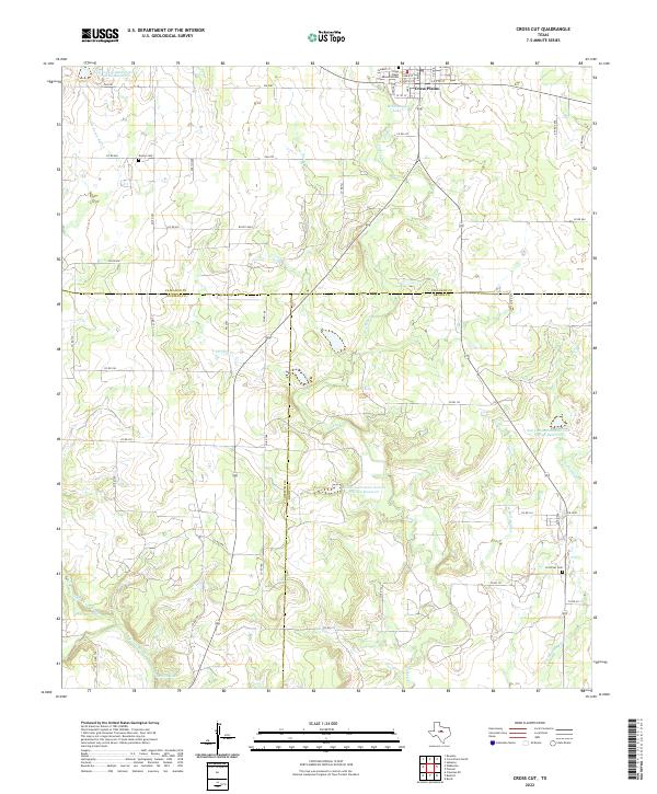 2022 Cross Cut2022 Print · USGSThe northern fringes of Brown and Coleman counties are mapped here during a period of modern rural development. Genealogists and local historians can locate family burial sites at Dressy Cemetery and Cross Cut Cemetery or trace water rights along Pecan Bayou.
 - 2022 Map of Rowden, 2022 Print
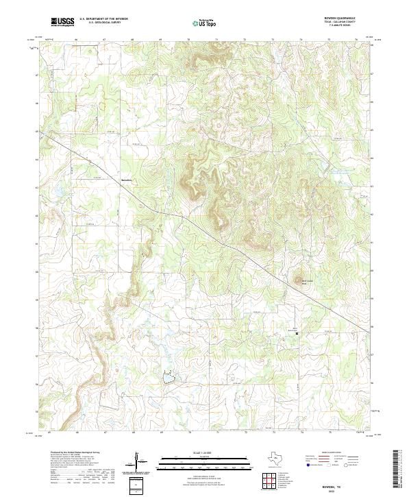 2022 Rowden2022 Print · USGSIn the central ranch lands of Callahan County during the early 2020s, the community of Rowden remains a rural hub. Genealogists and local historians can locate Burnt Branch Cem and trace the drainage of Bear Br and Turkey Cr around the landmark West Caddo Peak.
 - 2022 Map of Snyder Lake, 2022 Print
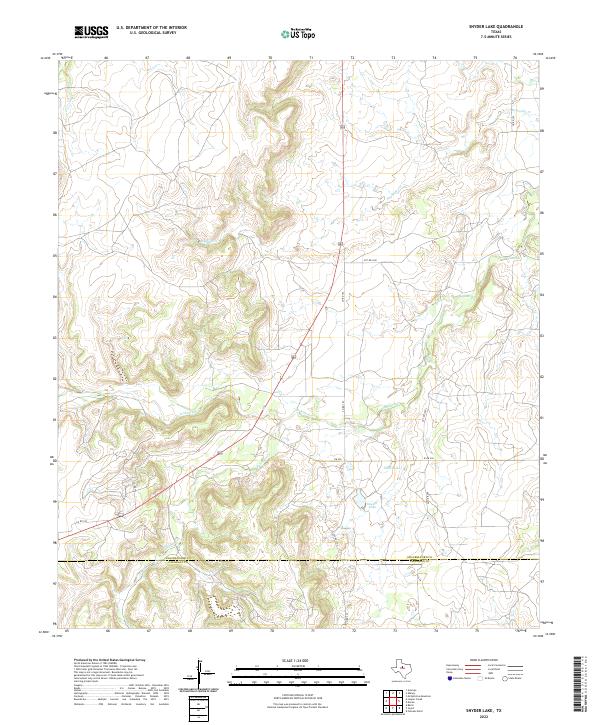 2022 Snyder Lake2022 Print · USGSShackelford and Callahan counties are documented here in the 2020s, showing a landscape defined by ranching and watershed management. Genealogists and land researchers can trace the course of Hubbard Cr or locate Snyder Lake and Dillen Lake.
 - 2022 Map of Webbville, 2022 Print
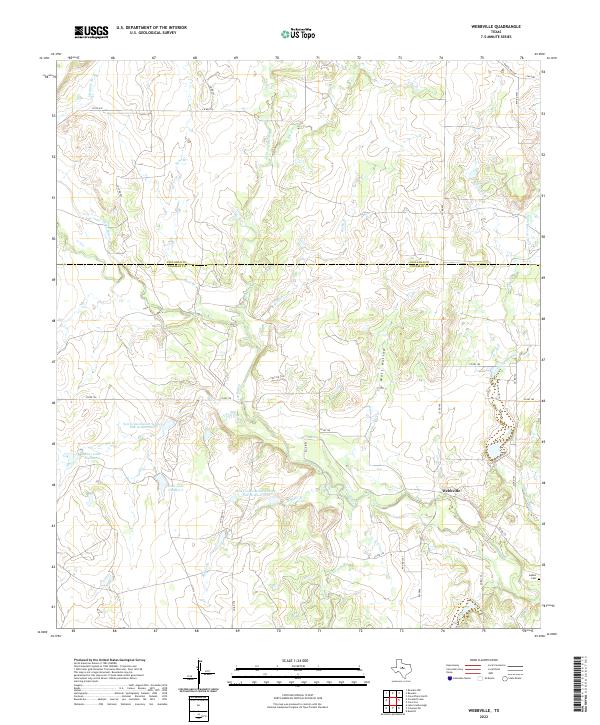 2022 Webbville2022 Print · USGSThe ranch lands of Coleman and Callahan counties are captured here in the early 2020s, centered on the rural community of Webbville. Genealogists and local historians can trace family landmarks like Adams Cem and explore the complex drainage of Pecan Bayou and Wolf Hollow.
 - 2022 Map of Flattop, 2022 Print
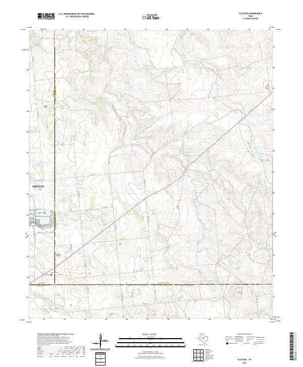 2022 Flattop2022 Print · USGSThe ranch lands northeast of Abilene are captured here in the early twenty-first century, spanning the junction of Jones, Shackelford, and Callahan counties. Local history researchers can trace family-named county roads and find specific sites like Hamby Cemetery and Portlock Airfield.
 - 2022 Map of Leeper Creek, 2022 Print
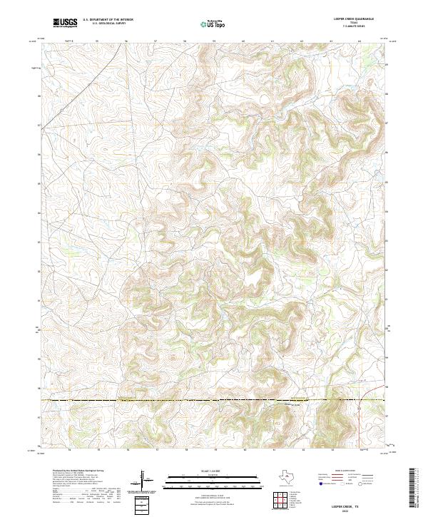 2022 Leeper Creek2022 Print · USGSThe Shackelford and Callahan county line in the early twenty-first century is a landscape of complex drainages and deep draws. Researchers can trace the winding paths of Salt Prong Hubbard Cr, the terrain of Deadman Draw, and the rural route of Co Rd 190.
 - 2022 Map of Putnam South, 2022 Print
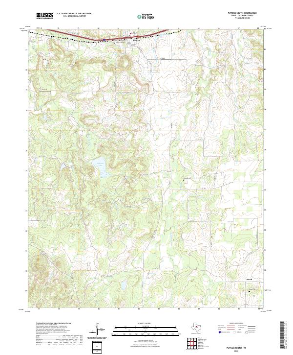 2022 Putnam South2022 Print · USGSCallahan County's rural ranching landscape is captured here in the early twenty-first century, centered on the historic town of Putnam. Genealogists can locate family sites near Atwell, Zion Hill Cem, and the waters of La Reata Lake.
 - 2022 Map of Pioneer, 2022 Print
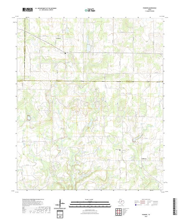 2022 Pioneer2022 Print · USGSThis rural portion of Brown, Eastland, and Callahan counties shows a landscape defined by deep-rooted ranching and water management. Genealogists and local historians can trace family locations near the Pioneer Cem, Blake Cem, and the community of Williams.
 - 2022 Map of Oplin, 2022 Print
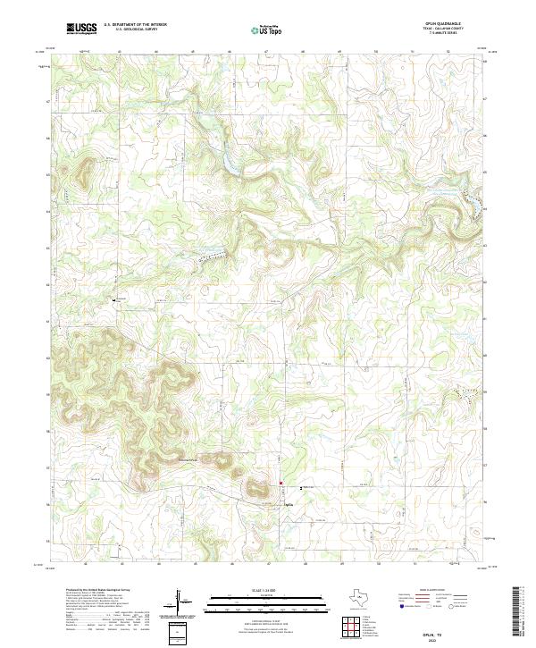 2022 Oplin2022 Print · USGSThe community of Oplin and the surrounding Callahan County rangelands are documented here in the early twenty-first century. Researchers can locate family heritage sites like Tecumseh Cem and Oplin Cem or trace the drainage of South Prong Pecan Bayou.
 - 2022 Map of Moran, 2022 Print
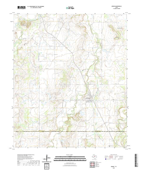 2022 Moran2022 Print · USGSThe ranchlands of the Shackelford and Callahan County line are captured here in recent years, centered on the historic town of Moran. Genealogists and local historians can trace family locations through burial grounds like Greer Cem and landmarks such as Mugginsville Mtn.
 - 2022 Map of Admiral, 2022 Print
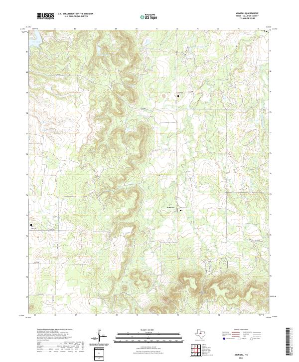 2022 Admiral2022 Print · USGSCallahan County's rural ranching landscape comes into focus in this contemporary survey of the area around Admiral. Genealogists and local historians can trace family roots at Callahan City Cem, Admiral Cem, and Belle Plain Cem.
 - 2022 Map of Kirby Lake NE, 2022 Print
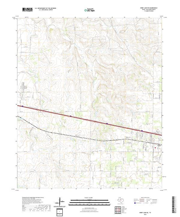 2022 Kirby Lake NE2022 Print · USGSThe outskirts of Clyde and the Texas prairie are captured here in the early twenty-first century as modern transit corridors cross traditional ranch lands. Researchers can trace local landmarks like Abilene Executive Airpark, the waters of Hehninger Lake, and the winding path of Deadman Cr.
 - 2022 Map of Baird, 2022 Print
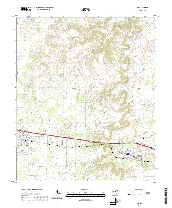 2022 Baird2022 Print · USGSBaird and Clyde anchor this Callahan County landscape as it appeared in the early twenty-first century. Researchers can trace local heritage at Saint Joachim Cem, Ross Cem, and the waters of Latimer Lake.
 - 2022 Map of Scranton, 2022 Print
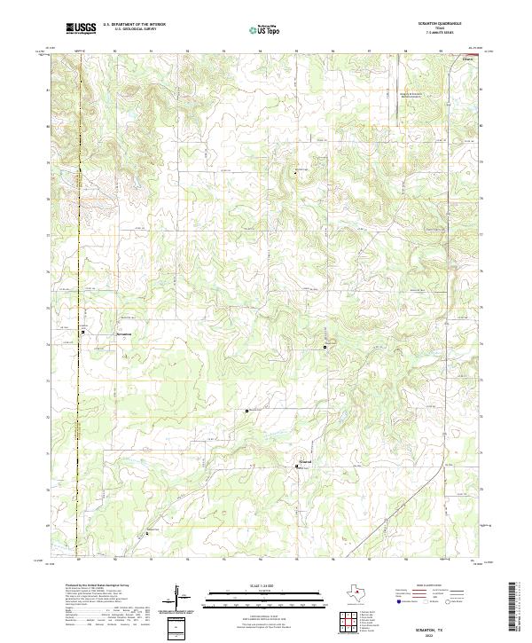 2022 Scranton2022 Print · USGSWest Texas ranching communities and creek-side settlements thrive along the Callahan and Eastland county line. Genealogists can trace family names at local burial sites like Scranton Cem, Monroe Cem, and Haskell Cem.
 - 2022 Map of Putnam North, 2022 Print
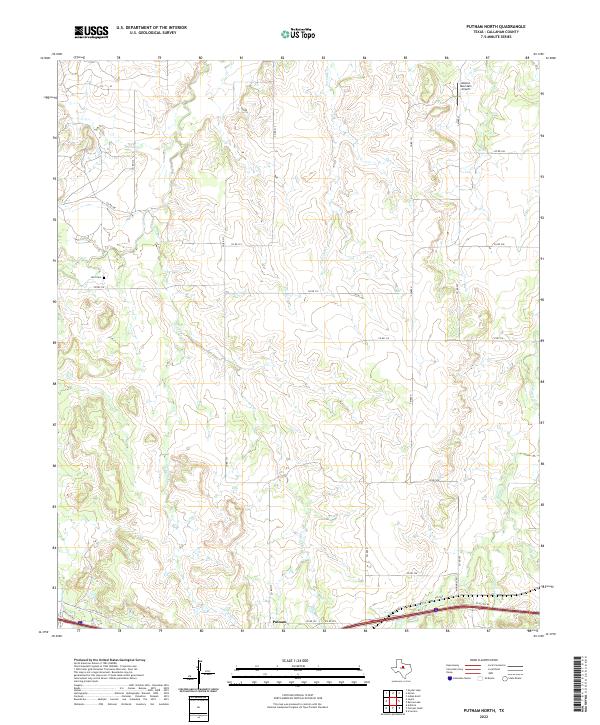 2022 Putnam North2022 Print · USGSThe ranch lands north of Putnam in the early 2020s are defined by the winding paths of Battle Cr and Lovelady Cr. Genealogists and local researchers can locate the Hart Cem or trace rural routes like CO RD 319 and McKinney Rd.
 - 2022 Map of Bernie Lake, 2022 Print
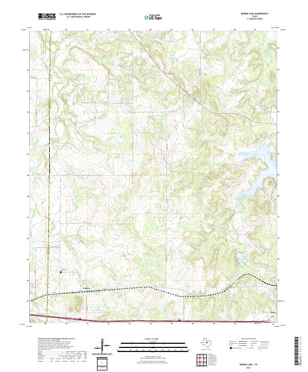 2022 Bernie Lake2022 Print · USGSEastland County near the Callahan border is shown in the 2020s, a landscape defined by ranch roads and regional reservoirs. Genealogists can locate Dothan Cem near Dothan, while researchers can trace the shorelines of Lake Cisco and Bernie Lake.
 - 2022 Map of Indian Knoll, 2022 Print
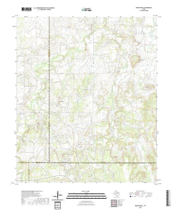 2022 Indian Knoll2022 Print · USGSThe ranchlands of West Texas where four counties meet are captured here in the early twenty-first century. Researchers can trace land boundaries and seasonal watercourses like Battle Cr while locating landmarks such as Red Gap and the Texas Company Reservoir.
 - 2022 Map of Club Hollow, 2022 Print
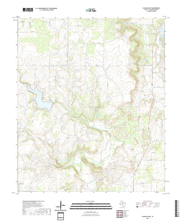 2022 Club Hollow2022 Print · USGSCallahan County ranchland is captured here in the early twenty-first century, showing a landscape defined by watershed management and rural routes. Researchers can trace the path of North Prong Pecan Bayou past Owen Field and Club Hollow.
 - 2022 Map of Sabanno, 2022 Print
 2022 Sabanno2022 Print · USGSThis rural portion of Eastland County reflects a long-standing ranching and farming heritage centered on the Sabanno community. Genealogists can trace family names and local history through several burial sites like Salt Tank Cem, Union Cem, and Wayside Cem.
 - 2022 Map of Cross Plains North, 2022 Print
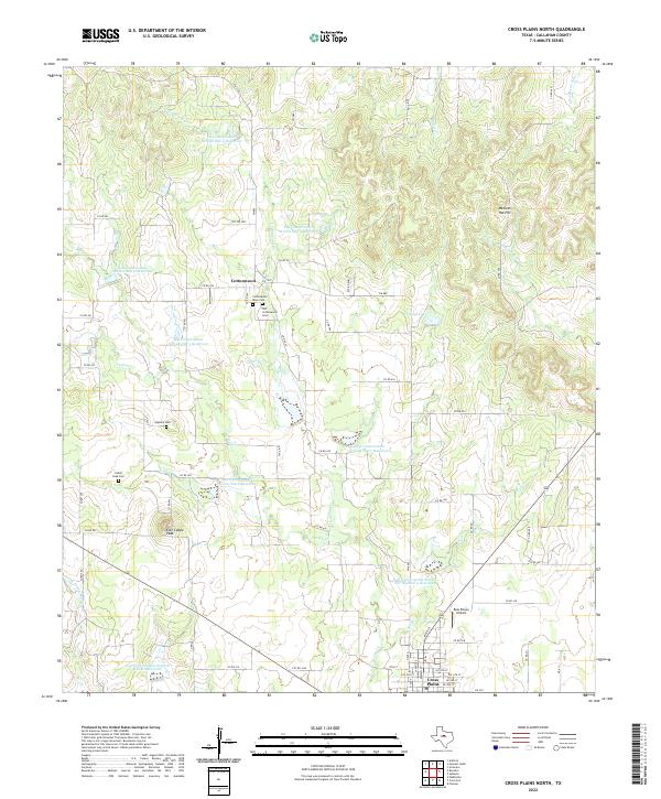 2022 Cross Plains North2022 Print · USGSThe Callahan County ranching country near Cottonwood is captured here in the early twenty-first century. Researchers can locate local landmarks like Caddo Peak Cem, the Ross Plains Airport, and the headwaters of the Sabana River.
 - 2022 Map of Goldsboro, 2022 Print
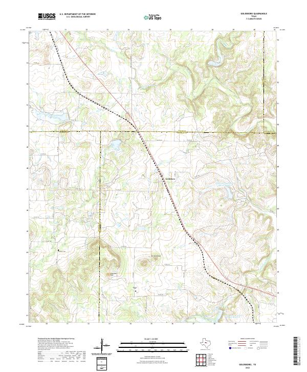 2022 Goldsboro2022 Print · USGSGoldsboro sits at the intersection of five county borders in central Texas during the 2020s, showing a landscape defined by ranch roads and creek drainage. Researchers can locate family landmarks like Content Cem and Midway Cem near the prominent Jim Ned Peak.
 - 2022 Map of Eula, 2022 Print
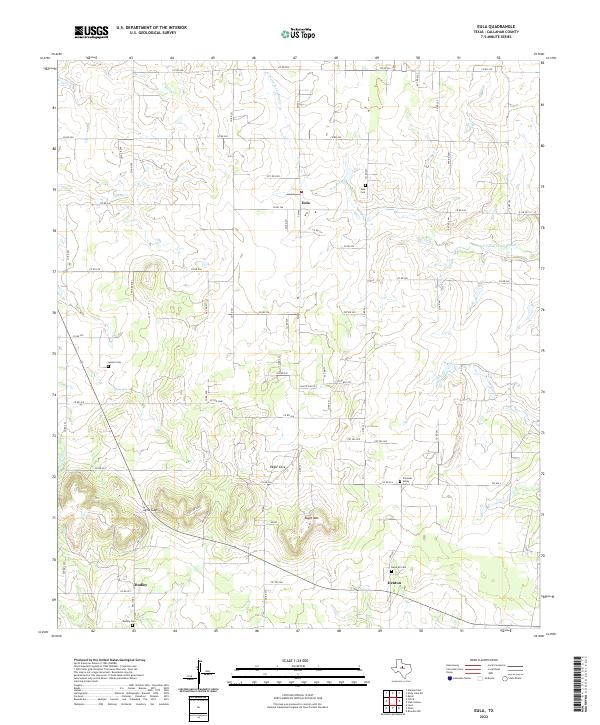 2022 Eula2022 Print · USGSCallahan County's rural heartland is preserved here during the early twenty-first century, showing the enduring ranching and farming layout of the region. Researchers can locate several family and community burial sites like Eula Cem and Dudley Cem, or trace the terrain around Eagle Mtn.
 - 2022 Map of Jayell, 2022 Print
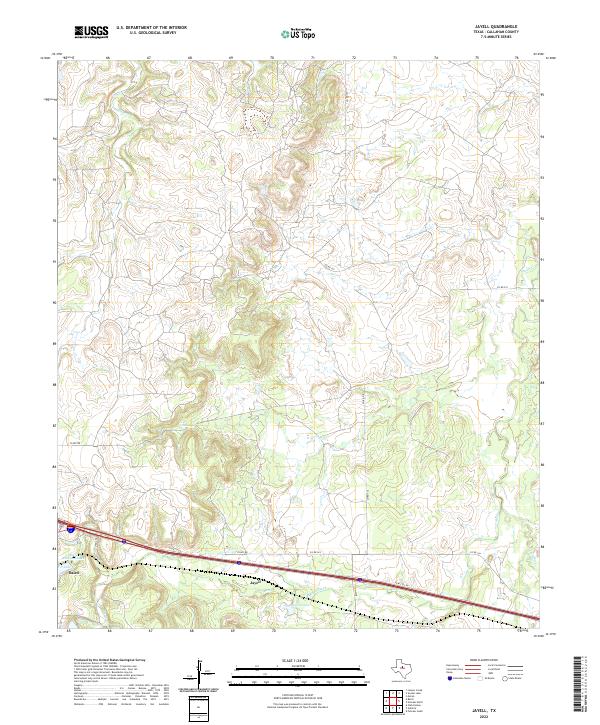 2022 Jayell2022 Print · USGSIn this modern survey of Callahan County, the intersection of ranch roads and historic water sites comes into view. Researchers can trace the drainage of Mexia Creek and locate local landmarks like Baird Railroad Lake and the settlement of Jayell.
 - 2022 Map of Potosi, 2022 Print
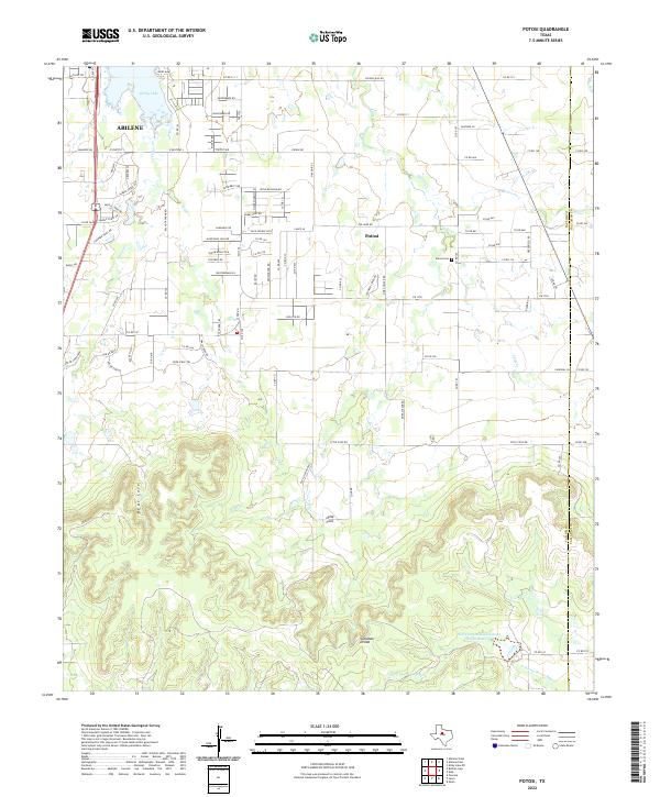 2022 Potosi2022 Print · USGSThe Abilene suburbs meet the southern hills in the early 2020s, revealing a landscape of growing communities and strategic water management. Genealogists and local researchers can locate the Potosi Cem, trace the waters of Kirby Lake, and explore the winding roads of the Callahan Divide.
 - 2022 Map of Lawn, 2022 Print
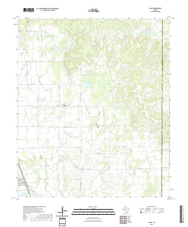 2022 Lawn2022 Print · USGSThe ranching and oil lands of Taylor County are captured in this recent survey of the area around Lawn. Local historians can trace family plots at Snodgrass Cem or Cope Cem and examine modern water management at Lake Lawn.
Showing maps 1-25 of 30
Top cities of Callahan County
Frequently asked questions
- What are the different types of historical maps available for Callahan County?
- What is the oldest map of Callahan County?
- Where can I purchase historical maps of Callahan County for my home or office?
- Where can I download high-res historical maps of Callahan County?
- Are there historical topographic maps available for Callahan County?
- Is there historical aerial imagery available for Callahan County?
- Where are historical maps of Callahan County sourced from?