2010s Maps of Callahan County, Texas
Explore 120 historic maps of Callahan County from the 2010s. These maps offer a rare glimpse into what life looked like during the 2010s — showing old roads, neighborhoods, homes, and landmarks that have changed or disappeared over time.
Whether you're researching your family's past, planning a metal detecting trip, or studying how Callahan County's landscape evolved across the 2010s, these high-resolution maps are a powerful tool for exploring the history of this region.
- Focus on a specific era: All maps on this page are from the 2010s, giving you a focused view of this time period.
- See what’s changed: Compare century-old streets, trails, and buildings to today's modern landscape using overlays and satellite layers.
- Research with precision: Use these maps for genealogy, historical research, land use analysis, or educational projects.
- View, download, or print: Maps are fully viewable online in high resolution, and can be downloaded or printed for your own records.
Start exploring Callahan County's history through authentic maps from the 2010s. This is your window into the past.
Callahan County, TX maps
(120)- 2010 Map of Jayell, 2010 Print
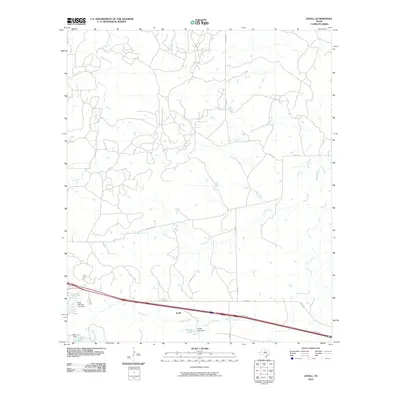 2010 Jayell2010 Print · USGSCallahan County's rural ranching and rail history are preserved here in the decade following the turn of the millennium. Genealogists and historians can trace the old water resources of the region, including the Baird Railroad Lake Dam, T P Lake, and the small settlement at Jayell.
 - 2010 Map of Sabanno, 2010 Print
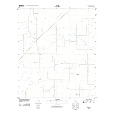 2010 Sabanno2010 Print · USGSIn the rural heart of Eastland County during the early twenty-first century, this landscape preserves the settlement patterns of a ranching community. Family historians can trace local roots through Sabanno Cemetery, Liberty Cemetery, and Salt Tank Cemetery along the banks of the Sabana River.
 - 2010 Map of Goldsboro, 2010 Print
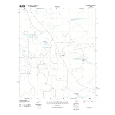 2010 Goldsboro2010 Print · USGSGoldsboro and the surrounding Coleman County ranch lands are documented here during the early twenty-first century. Genealogists and local historians can locate the Midway Cemetery and trace the drainage of Jim Ned Creek past landmarks like Jim Ned Peak.
 - 2010 Map of Oplin, 2010 Print
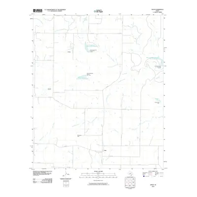 2010 Oplin2010 Print · USGSOplin and the surrounding Callahan County rangeland are captured here in the early twenty-first century as a landscape of intermittent creeks and ranch roads. Researchers can locate family sites near Tecumseh Cemetery or trace the drainage of South Prong Pecan Bayou and Little Rocky Creek.
 - 2010 Map of Putnam South, 2010 Print
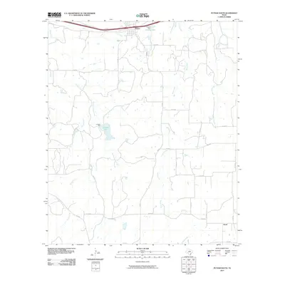 2010 Putnam South2010 Print · USGSCallahan County ranch lands and rural settlements are captured here in the early twenty-first century. Genealogists and local historians can trace the roads around Putnam or locate the southern settlement of Atwell near Battle Creek and La Reata Lake.
 - 2010 Map of Bernie Lake, 2010 Print
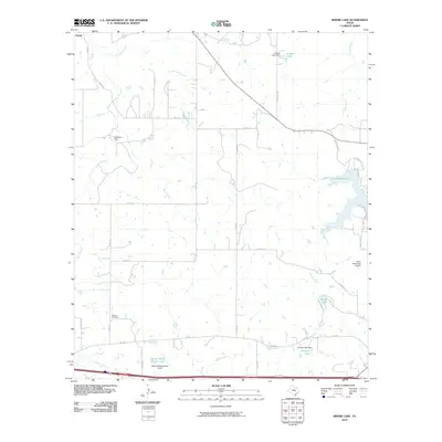 2010 Bernie Lake2010 Print · USGSEastland County ranch land is captured here in the early twenty-first century, showing a landscape defined by water management and rural aviation. Researchers can locate the Dothan Cemetery and trace the shores of Lake Cisco and Bernie Lake.
 - 2010 Map of Baird, 2010 Print
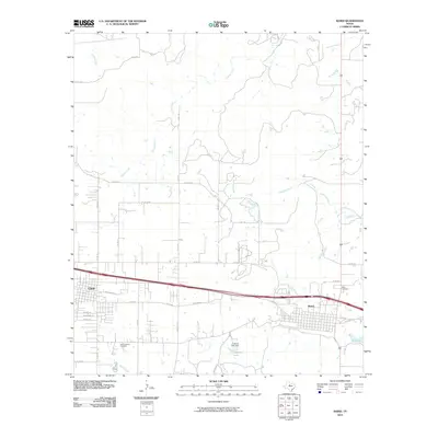 2010 Baird2010 Print · USGSClyde and Baird represent the steady growth of Callahan County in the early twenty-first century. Genealogists and historians can trace the local landscape through Saint Joachim Cemetery, Ross Cemetery, and the waters of Latimer Lake.
 - 2010 Map of McEwen Draw, 2010 Print
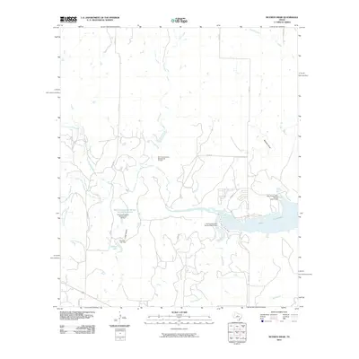 2010 McEwen Draw2010 Print · USGSCallahan County's ranching and water-management landscape is captured here in the early twenty-first century. Researchers can trace the development of local infrastructure through sites like Hudson Lake, McEwen Draw, and the extensive shoreline of Lake Coleman.
 - 2010 Map of Rowden NW, 2010 Print
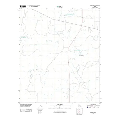 2010 Rowden NW2010 Print · USGSCallahan County ranch lands are shown here at the turn of the millennium, defined by an intricate network of local creek drainages. Researchers can trace land management history through features like Soil Conservation Service Site 12 Reservoir and the headwaters of Pecan Bayou.
 - 2010 Map of Cross Plains North, 2010 Print
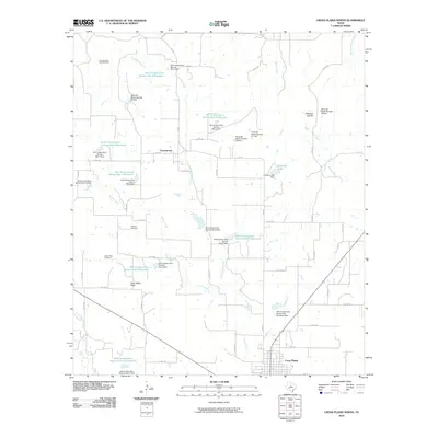 2010 Cross Plains North2010 Print · USGSNorth Callahan County is shown here in the early 2000s, centered on the community of Cottonwood and the watershed of the Sabana River. Researchers can trace old family burial grounds at Oglesby Cemetery or locate landmarks like the Four-Hundred Acre Windmill.
 - 2010 Map of Putnam North, 2010 Print
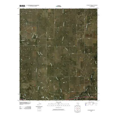 2010 Putnam North2010 Print · USGSThe northern reaches of Callahan County are captured here in 2010, showing the rural landscape surrounding the community of Putnam. Genealogists and local historians can trace the headwaters of Battle Creek and locate family landmarks such as Hart Cemetery.
 - 2010 Map of Webbville, 2010 Print
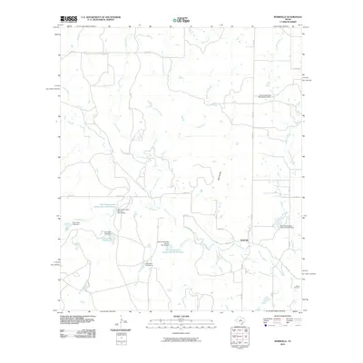 2010 Webbville2010 Print · USGSCentral Texas ranching country in the early twenty-first century is defined here by its sophisticated water management and rural crossroads. Researchers can trace family sites at Adams Cemetery or explore the hydrological network of Pecan Bayou and Webbville.
 - 2010 Map of Abilene East, 2010 Print
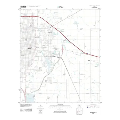 2010 Abilene East2010 Print · USGSAbilene's eastern districts are shown here at a moment of modern expansion and deep historical preservation. Researchers can trace family sites at the Old Colony Cemetery or explore the bounds of the Parramore Historic District and the State Epileptic Colony Historic District.
 - 2010 Map of Club Hollow, 2010 Print
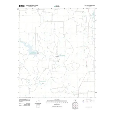 2010 Club Hollow2010 Print · USGSCallahan County ranch lands are shown here in the early twenty-first century, showcasing a landscape shaped by mid-century water engineering and rural road networks. Researchers can trace the drainages of North Prong Pecan Bayou and locate infrastructure like Baird Lake and Soil Conservation Service Site 9 Reservoir.
 - 2010 Map of Kirby Lake NE, 2010 Print
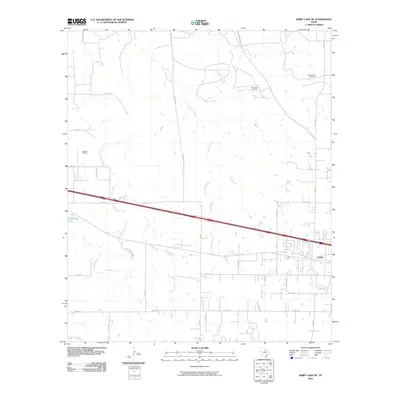 2010 Kirby Lake NE2010 Print · USGSClyde and its surrounding ranchlands are shown during a period of steady growth and active energy production. Researchers can trace property access via Rainy Creek Ranch Rd or locate established petroleum sites like the Elmdale Oil Field and Three Aces Oil Field.
 - 2010 Map of Cross Cut, 2010 Print
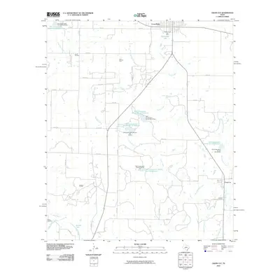 2010 Cross Cut2010 Print · USGSTexas ranching and oil country come into focus in this study of the landscape south of Cross Plains during the early 2000s. Genealogists and historians can trace family locations near Dressy Cemetery, Cross Cut, and the extensive Cross Plains Oil Field.
 - 2010 Map of Pioneer, 2010 Print
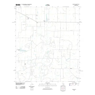 2010 Pioneer2010 Print · USGSBrown County ranching and oil production are at the forefront of this 2010 study of the Texas plains. Researchers can locate family landmarks like the Pioneer Cemetery or trace the industrial footprint of the Cross Cut Oil Field and the Goodall Ranch Airport.
 - 2010 Map of Crooked Creek, 2010 Print
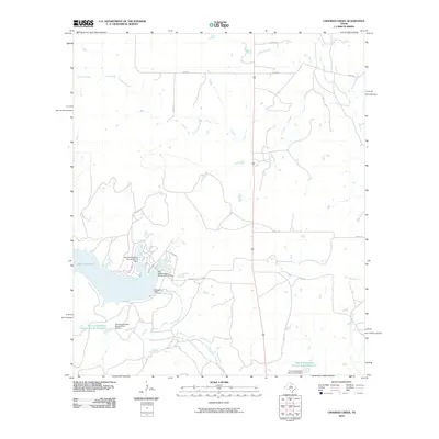 2010 Crooked Creek2010 Print · USGSCallahan County's rural landscape is defined by its water management and ranch roads during the early 2000s. Researchers can trace hydrological features like Lake Coleman, the Soil Conservation Service Site 9 Dam, and Jim Ned Creek.
 - 2010 Map of Leeper Creek, 2010 Print
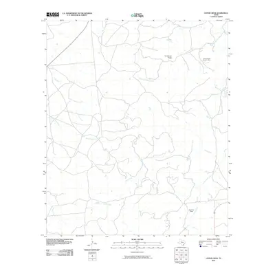 2010 Leeper Creek2010 Print · USGSShackelford County's rural ranch lands are documented here in the early twenty-first century, showing a landscape defined by its vital watercourses. Researchers can trace the drainage of Salt Prong Hubbard Creek and locate landmarks like Deadman Draw and Vanzandt Lake Number 1 Dam.
 - 2010 Map of Snyder Lake, 2010 Print
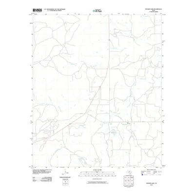 2010 Snyder Lake2010 Print · USGSShackelford County in the early twenty-first century is a landscape of creek-fed lakes and quiet rural roads. Researchers can trace the water systems of Snyder Lake and Diller Lake, or follow old routes like FM 578 and CO RD 191.
 - 2010 Map of Lawn, 2010 Print
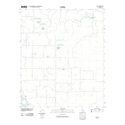 2010 Lawn2010 Print · USGSThe community of Lawn and the nearby settlement of Rogers appear here in the early twenty-first century, surrounded by a landscape shaped by water conservation. Researchers can trace local lineage at Cope Cemetery or study the hydrology of Jim Ned Creek and Santa Fe Lake.
 - 2010 Map of Rowden, 2010 Print
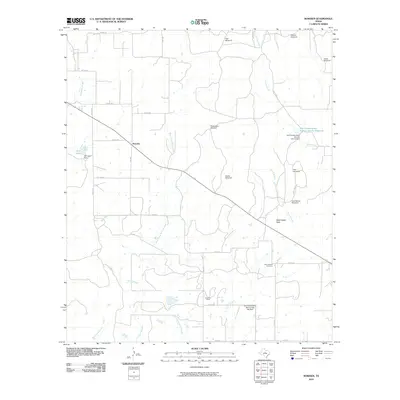 2010 Rowden2010 Print · USGSRowden and the surrounding Callahan County ranch lands are captured here in the early twenty-first century. Genealogists and local historians can locate the Burnt Branch Cemetery and trace land use through named landmarks like West Caddo Peak and High Windmill.
 - 2010 Map of Scranton, 2010 Print
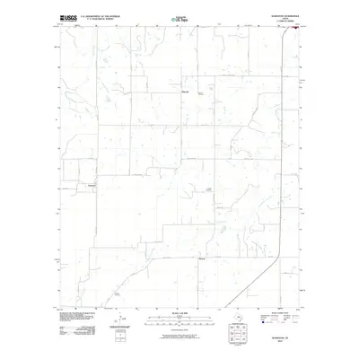 2010 Scranton2010 Print · USGSEastland County ranching country is captured here in the early 2000s, showcasing the rural road networks and scattered settlements of West Texas. Genealogists can trace family footprints at Mitchell Cemetery, Haskell Cemetery, and the quiet community of Nimrod.
 - 2010 Map of Eula, 2010 Print
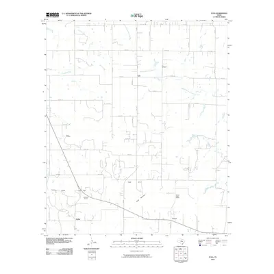 2010 Eula2010 Print · USGSCallahan County's rural ranching landscape is shown here in the early twenty-first century, centered on the community of Eula. Researchers can locate family landmarks like the Seaton Cemetery, the Denton Valley School, and the natural pass at Lytle Gap.
 - 2010 Map of Flattop, 2010 Print
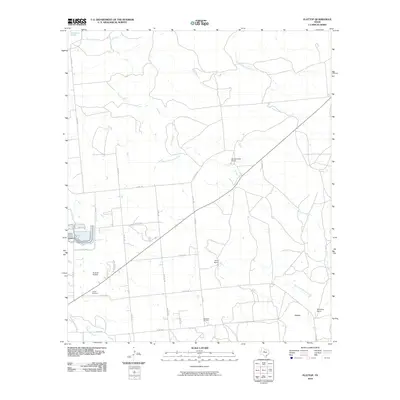 2010 Flattop2010 Print · USGSThe ranchlands northeast of Abilene appear here in the early 2000s, defined by large estates and oil extraction. Genealogists and local historians can locate the Hamby Cemetery, the settlement of Flattop, and the operations at Morrisett Oil Field.
Showing maps 1-25 of 120
Top cities of Callahan County
Frequently asked questions
- What are the different types of historical maps available for Callahan County?
- What is the oldest map of Callahan County?
- Where can I purchase historical maps of Callahan County for my home or office?
- Where can I download high-res historical maps of Callahan County?
- Are there historical topographic maps available for Callahan County?
- Is there historical aerial imagery available for Callahan County?
- Where are historical maps of Callahan County sourced from?