2000s (21st Century) Maps of Callahan County, Texas
Explore 150 historic maps of Callahan County from the 2000s (21st Century). These maps offer a rare glimpse into what life looked like during the 2000s — showing old roads, neighborhoods, homes, and landmarks that have changed or disappeared over time.
Whether you're researching your family's past, planning a metal detecting trip, or studying how Callahan County's landscape evolved across the 2000s, these high-resolution maps are a powerful tool for exploring the history of this region.
- Focus on a specific era: All maps on this page are from the 2000s, giving you a focused view of this time period.
- See what’s changed: Compare century-old streets, trails, and buildings to today's modern landscape using overlays and satellite layers.
- Research with precision: Use these maps for genealogy, historical research, land use analysis, or educational projects.
- View, download, or print: Maps are fully viewable online in high resolution, and can be downloaded or printed for your own records.
Start exploring Callahan County's history through authentic maps from the 2000s. This is your window into the past.
Callahan County, TX maps
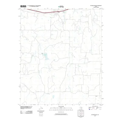
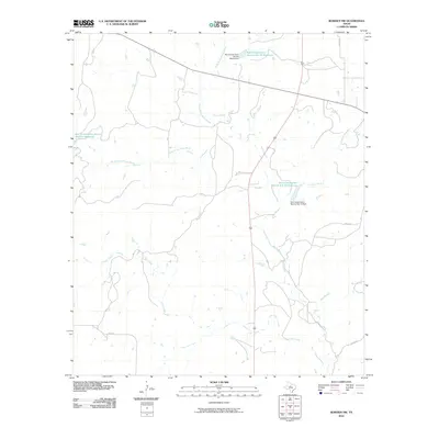
(150)- 2010 Map of Jayell, 2010 Print
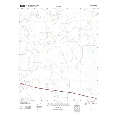 2010 Jayell2010 Print · USGSCovers Callahan County, including Baird, Jayell, and other nearby areas
 - 2010 Map of Sabanno, 2010 Print
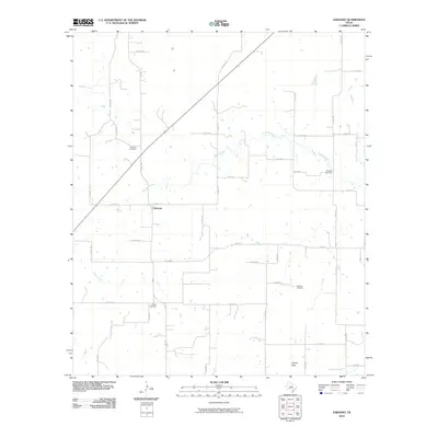 2010 Sabanno2010 Print · USGSCovers Callahan County, including Sabanno, Eastland County, and other nearby areas
 - 2010 Map of Goldsboro, 2010 Print
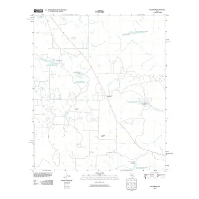 2010 Goldsboro2010 Print · USGSCovers Callahan County, including Goldsboro, Taylor County, and other nearby areas
 - 2010 Map of Oplin, 2010 Print
 2010 Oplin2010 Print · USGSCovers Callahan County, including Oplin, United States, and other nearby areas
 - 2010 Map of Putnam South, 2010 Print
 2010 Putnam South2010 Print · USGSCovers Callahan County, including Putnam, Atwell, and other nearby areas
 - 2010 Map of Bernie Lake, 2010 Print
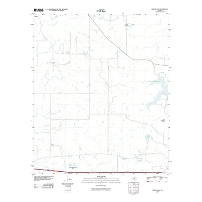 2010 Bernie Lake2010 Print · USGSCovers Callahan County, including Cisco, Pueblo, and other nearby areas
 - 2010 Map of Baird, 2010 Print
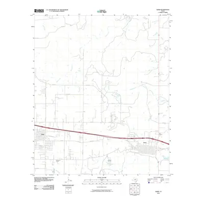 2010 Baird2010 Print · USGSCovers Callahan County, including Clyde, Baird, and other nearby areas
 - 2010 Map of McEwen Draw, 2010 Print
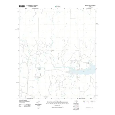 2010 McEwen Draw2010 Print · USGSCovers Callahan County, including Coleman County, United States, and other nearby areas
 - 2010 Map of Rowden NW, 2010 Print
 2010 Rowden NW2010 Print · USGSCovers Callahan County, including United States, Texas, and other nearby areas
 - 2010 Map of Cross Plains North, 2010 Print
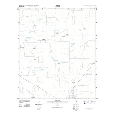 2010 Cross Plains North2010 Print · USGSCovers Callahan County, including Cross Plains, Cottonwood, and other nearby areas
 - 2010 Map of Putnam North, 2010 Print
 2010 Putnam North2010 Print · USGSCovers Callahan County, including Putnam, United States, and other nearby areas
 - 2010 Map of Webbville, 2010 Print
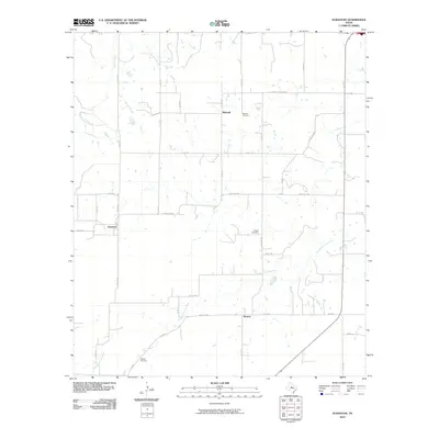
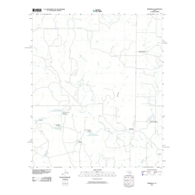 2010 Webbville2010 Print · USGSCovers Callahan County, including Webbville, Coleman County, and other nearby areas
 - 2010 Map of Abilene East, 2010 Print
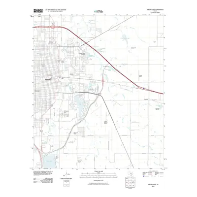 2010 Abilene East2010 Print · USGSCovers Callahan County, including Abilene, Impact, and other nearby areas
 - 2010 Map of Club Hollow, 2010 Print
 2010 Club Hollow2010 Print · USGSCovers Callahan County, including United States, Texas, and other nearby areas
 - 2010 Map of Kirby Lake NE, 2010 Print
 2010 Kirby Lake NE2010 Print · USGSCovers Callahan County, including Clyde, United States, and other nearby areas
 - 2010 Map of Cross Cut, 2010 Print
 2010 Cross Cut2010 Print · USGSCovers Callahan County, including Cross Plains, Cross Cut, and other nearby areas
 - 2010 Map of Pioneer, 2010 Print
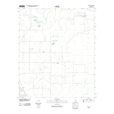
 2010 Pioneer2010 Print · USGSCovers Callahan County, including Williams, Pioneer, and other nearby areas
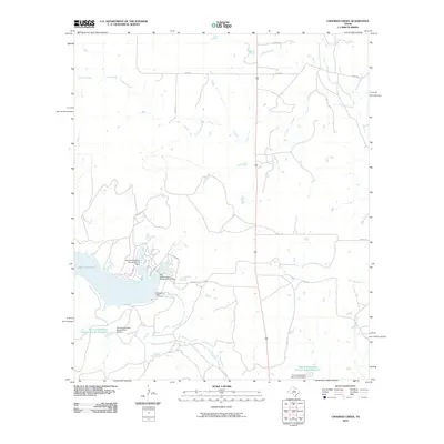
 - 2010 Map of Crooked Creek, 2010 Print
 2010 Crooked Creek2010 Print · USGSCovers Callahan County, including Coleman County, United States, and other nearby areas
 - 2010 Map of Leeper Creek, 2010 Print
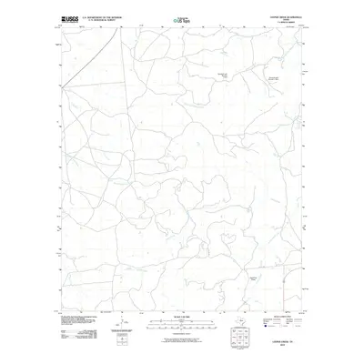 2010 Leeper Creek2010 Print · USGSCovers Callahan County, including Shackelford County, United States, and other nearby areas
 - 2010 Map of Snyder Lake, 2010 Print
 2010 Snyder Lake2010 Print · USGSCovers Callahan County, including Shackelford County, United States, and other nearby areas
 - 2010 Map of Lawn, 2010 Print
 2010 Lawn2010 Print · USGSCovers Callahan County, including Lawn, Rogers, and other nearby areas
 - 2010 Map of Rowden, 2010 Print
 2010 Rowden2010 Print · USGSCovers Callahan County, including Rowden, United States, and other nearby areas
 - 2010 Map of Scranton, 2010 Print
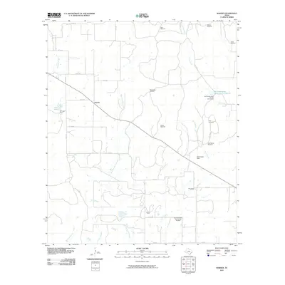
 2010 Scranton2010 Print · USGSCovers Callahan County, including Cisco, Scranton, and other nearby areas
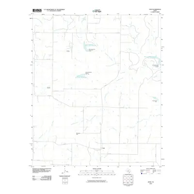
 - 2010 Map of Eula, 2010 Print
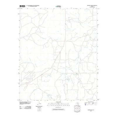
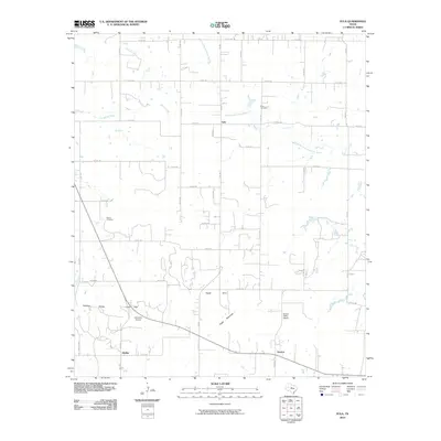 2010 Eula2010 Print · USGSCovers Callahan County, including Dudley, Denton, and other nearby areas
 - 2010 Map of Flattop, 2010 Print
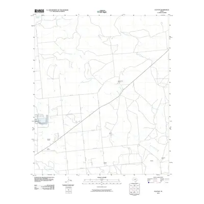 2010 Flattop2010 Print · USGSCovers Callahan County, including Abilene, Jones County, and other nearby areas
Showing maps 1-25 of 150
Top cities of Callahan County
Frequently asked questions
- What are the different types of historical maps available for Callahan County?
- What is the oldest map of Callahan County?
- Where can I purchase historical maps of Callahan County for my home or office?
- Where can I download high-res historical maps of Callahan County?
- Are there historical topographic maps available for Callahan County?
- Is there historical aerial imagery available for Callahan County?
- Where are historical maps of Callahan County sourced from?