Old Maps of Clyde, Texas for Metal Detecting
Plan your next treasure hunt with 20 historic maps of Clyde. Find old homesites, ghost towns, trails, and gathering spots that may be lost to time — perfect for identifying promising metal detecting locations.
- Locate forgotten sites: Uncover places like long-lost settlements, abandoned rail lines, or gathering spots.
- Plan better hunts: Use map overlays combined with LiDAR or satellite views to narrow in on historically rich areas.
- Made for detectorists: Thousands of hobbyists use these maps to discover relics, coins, and hidden history.
Use these historic maps to boost your research and find new opportunities beneath the surface of Clyde.
Clyde, TX maps
(20)- 1890 Map of Abilene, 1955 Print
 1890 Abilene1955 Print · USGSWest Texas ranching country and rail settlements come alive in the 1890s as the railroad transforms the prairie. Genealogists can trace early homesteads near Buffalo Gap or follow the Texas and Pacific Railway through Abilene and Elmdale.
 - 1892 Map of Abilene
 1892 Abilene1892 Print · USGSTaylor and Callahan counties were transitioning into a major rail and ranching corridor during the 1890s. Genealogical researchers can locate early frontier settlements like Buffalo Gap and Guion, or trace the path of the Texas and Pacific Railway.5 unique versions available
 - 1931 Map of Baird
 1931 Baird1931 Print · USGSCallahan County ranching and rail life are documented here in the early twentieth century. Genealogists and local historians can trace the foundations of Baird, the Rough Creek P.O., and distinctive landmarks like Caddo Peak and Round Mt.
 - 1932 Map of Baird
 1932 Baird1932 Print · USGSCallahan and Eastland counties appear in the early 1930s, showing the region's transition into the oil and highway era. Genealogists can locate family homes near Belle Plain, Oak Ridge School, and along the Missouri Kansas & Texas railroad.
 - 1954 Map of Abilene, 1966 Print
 1954 Abilene1966 Print · USGSThe Texas Big Country comes into focus in the mid-1950s as petroleum and new water projects reshape the landscape. Local historians can trace the Butterfield Trail, find the Fort Phantom Hill Ruins, and locate numerous small communities along the Texas & Pacific line.2 unique versions available
 - 1957 Map of Kirby Lake, 1958 Print
 1957 Kirby Lake1958 Print · USGSAbilene was expanding toward the eastern oil fields and southern ranch lands in the late fifties. Genealogists can trace family names at the Potosi Cem and Eula Cem, or locate earlier rural landmarks like the Denton Sch (Aban'd) and Potosi Sch (Aban'd).2 unique versions available
 - 1958 Map of Abilene
 1958 Abilene1958 Print · USGSMid-century West Texas comes alive in this survey of the Abilene and Stephenville region during a period of steady oil expansion and military growth. Genealogists and local historians can trace the paths of the Texas & Pacific RR through historic towns, locate the Fort Griffin Ruins, and find smaller settlements like Desdemona and Lueders.
 - 1966 Map of Baird, 1969 Print
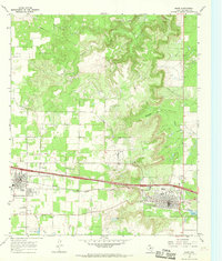 1966 Baird1969 Print · USGSCallahan County's rail and road corridor comes into focus in the 1960s as INTERSTATE 20 parallels the Texas and Pacific line. Genealogists and local historians can trace the foundations of Clyde and Baird, locating the St Joachim Cem and the community Rodeo Ground.2 unique versions available
 - 1984 Map of Kirby Lake NE
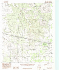 1984 Kirby Lake NE1984 Print · USGSThe outskirts of Clyde during the early eighties show a landscape balancing ranching roots with modern energy expansion. Researchers can trace land use patterns through the extensive Oil Field and Underground Pipeline networks, or locate family sites at local Cem plots.
 - 1985 Map of Abilene, 1986 Print
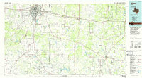 1985 Abilene1986 Print · USGSThe West Texas ranching and rail landscape around Abilene is captured here in the mid-1980s. Local researchers can trace the growth of Hardin-Simmons University, locate family sites near Ross Cem, or explore the area around Buffalo Gap and Dyess Air Force Base.2 unique versions available
 - 2010 Map of Baird, 2010 Print
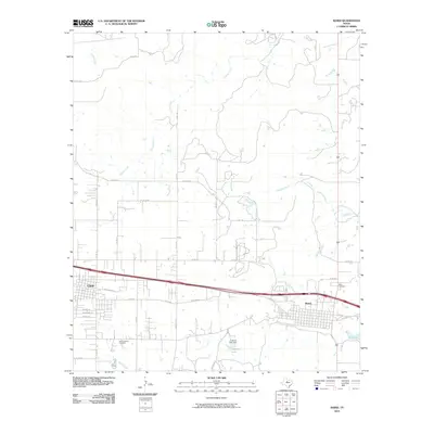 2010 Baird2010 Print · USGSClyde and Baird represent the steady growth of Callahan County in the early twenty-first century. Genealogists and historians can trace the local landscape through Saint Joachim Cemetery, Ross Cemetery, and the waters of Latimer Lake.
 - 2010 Map of Kirby Lake NE, 2010 Print
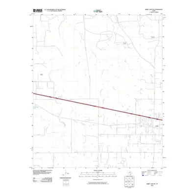 2010 Kirby Lake NE2010 Print · USGSClyde and its surrounding ranchlands are shown during a period of steady growth and active energy production. Researchers can trace property access via Rainy Creek Ranch Rd or locate established petroleum sites like the Elmdale Oil Field and Three Aces Oil Field.
 - 2012 Map of Kirby Lake NE, 2012 Print
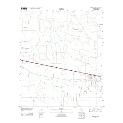 2012 Kirby Lake NE2012 Print · USGSTexas ranch lands and active oil fields come into focus in this Callahan County survey from the early 2010s. Researchers can trace local energy history across the Elmdale Oil Field and Three Aces Oil Field or locate family sites along Buck Cr.
 - 2012 Map of Baird, 2012 Print
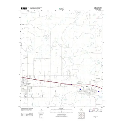 2012 Baird2012 Print · USGSTexas ranching and transit define the Callahan County landscape in the early 2010s. Local researchers can trace the growth of Baird and Clyde or locate family sites like Ross Cem and the Saint Joachimi Cem.
 - 2016 Map of Kirby Lake NE, 2016 Print
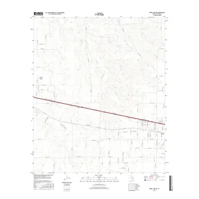 2016 Kirby Lake NE2016 Print · USGSCallahan County in the mid-2010s shows a landscape defined by the Interstate 20 corridor and the growth of local aviation. Researchers can trace the layout of Clyde, locate the Abilene Executive Airpark, and follow drainage patterns along Deadman Cr.
 - 2016 Map of Baird, 2016 Print
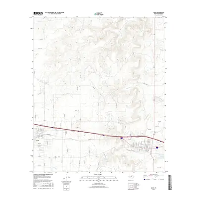 2016 Baird2016 Print · USGSCallahan County's landscape is defined here by the growth of Clyde and Baird along the Interstate 20 corridor in the mid-2010s. Genealogists and local historians can trace family sites at Saint Joachim Cem and Ross Cem or locate the Dyer Sims Ranch 4058.
 - 2019 Map of Baird, 2019 Print
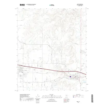 2019 Baird2019 Print · USGSCallahan County's central corridor is mapped here in the late 2010s, showing the neighboring communities of Clyde and Baird. Genealogists and researchers can trace local family landmarks and burial sites including Ross Cem and Saint Joachim Cem.
 - 2019 Map of Kirby Lake NE, 2019 Print
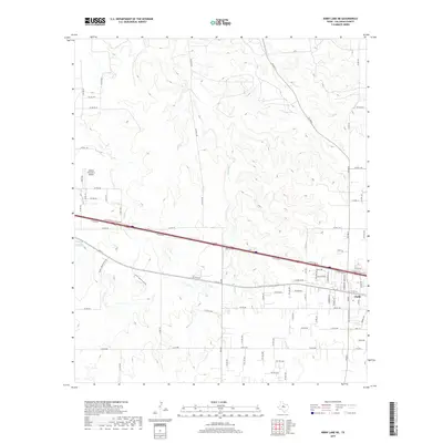 2019 Kirby Lake NE2019 Print · USGSCallahan County's rural reaches and the growing community of Clyde appear here in the late twenty-teens as the landscape balances ranching roots with modern infrastructure. Researchers can trace land divisions along Deadman Cr or locate the Abilene Executive Airpark amidst a dense network of local routes like FM 604 N.
 - 2022 Map of Kirby Lake NE, 2022 Print
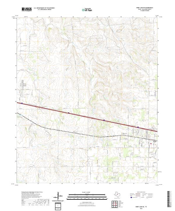 2022 Kirby Lake NE2022 Print · USGSThe outskirts of Clyde and the Texas prairie are captured here in the early twenty-first century as modern transit corridors cross traditional ranch lands. Researchers can trace local landmarks like Abilene Executive Airpark, the waters of Hehninger Lake, and the winding path of Deadman Cr.
 - 2022 Map of Baird, 2022 Print
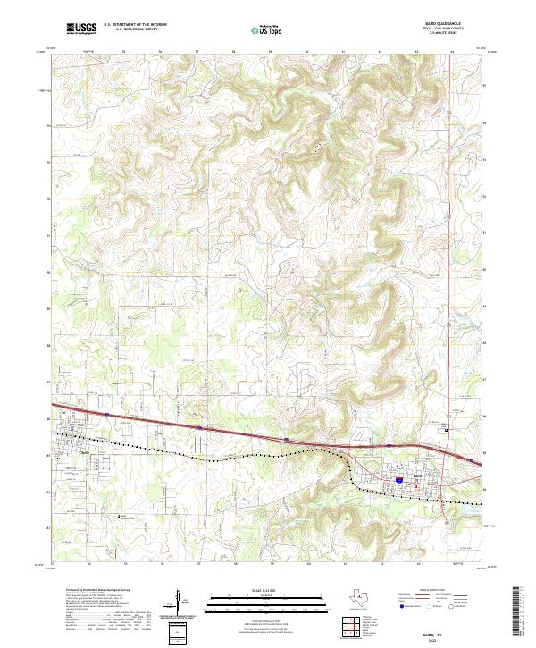 2022 Baird2022 Print · USGSBaird and Clyde anchor this Callahan County landscape as it appeared in the early twenty-first century. Researchers can trace local heritage at Saint Joachim Cem, Ross Cem, and the waters of Latimer Lake.
End of results
Showing maps 1-20 of 20
Top cities near Clyde
Frequently asked questions
- What are the different types of historical maps available for Clyde?
- What is the oldest map of Clyde?
- Where can I purchase historical maps of Clyde for my home or office?
- Where can I download high-res historical maps of Clyde?
- Are there historical topographic maps available for Clyde?
- Is there historical aerial imagery available for Clyde?
- Where are historical maps of Clyde sourced from?