Old Maps of Boca Chica Village, Texas for Genealogy
Trace your family roots with 13 historic maps of Boca Chica Village. These high-res maps reveal old neighborhoods, homesites, landmarks, and streets — helping you uncover where your ancestors lived and how the area evolved over time.
- Explore historic neighborhoods: Identify where your relatives may have lived in the 1800s or 1900s.
- Compare maps over time: Trace the changes in streets, buildings, and landmarks for multi-generational research.
- Perfect for genealogy & ancestry research: Used by family historians and researchers to map out lineage and migration.
These maps are an incredible resource for exploring your personal connection to Boca Chica Village's past.
Boca Chica Village, TX maps
(13)- 1936 Map of Mouth Of Rio Grande
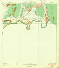 1936 Mouth Of Rio Grande1936 Print · USGSThe Texas coast met the Mexican border during the mid-1930s in this detailed look at the river delta and tidal marshes. Trace early infrastructure and local landmarks like the U S Army Rifle Range, the Stell-Lind Banco No 128, and the remote Boca Chica Beach.2 unique versions available
 - 1953 Map of Brownsville
 1953 Brownsville1953 Print · USGSSouth Texas ranchlands and the Lower Rio Grande Valley are captured here in the early fifties as the region's irrigation and shipping networks expanded. Genealogists and historians can trace family landholdings like Tecolote Ranch or follow the route of the St Louis Brownsville and Mexico rail line through Sebastian and Yturria.
 - 1955 Map of Mouth Of Rio Grande
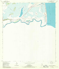 1955 Mouth Of Rio Grande1955 Print · USGSThe Texas-Mexico borderlands meet the sea in this mid-century survey of the Rio Grande's final reach. You can trace the international boundary through Tarpon Bend and locate coastal landmarks like Boca Chica Beach and the Mesa del Gavilan.2 unique versions available
 - 1955 Map of Mouth Of Rio Grande, 1956 Print
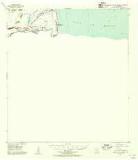 1955 Mouth Of Rio Grande1956 Print · USGSThe Texas-Mexico borderlands meet the Gulf in the mid-1950s, showing a landscape of shifting river banks and coastal lomas. Trace the route of the Boca Chica Highway to the coast or locate the Tidewater Dam and Steil-Lind Banco No 128.
 - 1956 Map of Brownsville, 1969 Print
 1956 Brownsville1969 Print · USGSThe Texas-Mexico borderlands and the Gulf coast come alive in this mid-century survey of the Rio Grande Valley. Genealogists and historians can trace the reach of the Missouri Pacific rail lines through citrus country to schools like Las Yescas and Palm Grove.2 unique versions available
 - 1962 Map of Brownsville
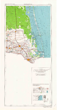 1962 Brownsville1962 Print · USGSThe Lower Rio Grande Valley in the early sixties was a landscape of coastal wildlands, booming oil fields, and international border commerce. Trace the development of this frontier region through landmarks like Harlingen Air Force Base, Boca Chica Island, and the Willamar Oil Field.
 - 1992 Map of Brownsville
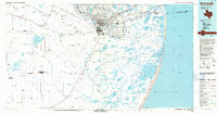 1992 Brownsville1992 Print · USGSThe Lower Rio Grande Valley in the early nineties shows a dense network of resacas and historic battlegrounds at the international border. Genealogists and historians can trace family roots in Buenavista or La Burrita, and locate strategic sites like Fort Brown and Palmito Hill Battlefield.
 - 2010 Map of Mouth of Rio Grande, 2010 Print
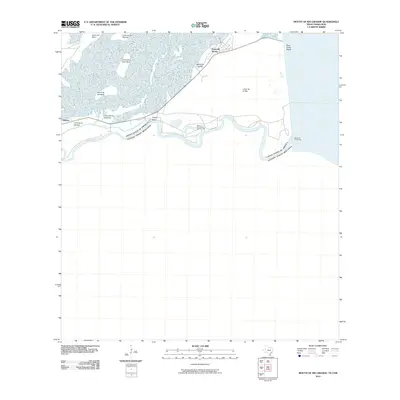 2010 Mouth of Rio Grande2010 Print · USGSThe Texas-Mexico border country meets the Gulf of Mexico in this 2010 study of the coastal lomas and wetlands. Trace the winding Rio Grande past Stell-Lind Banco Number 128 to the sea at Boca Chica Beach.
 - 2012 Map of Mouth of Rio Grande, 2012 Print
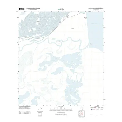 2012 Mouth of Rio Grande2012 Print · USGSThe Texas coastline meets the international border in this 2012 survey of the river delta. Researchers can trace the coastal geography of Boca Chica Beach, the winding path of Tarpon Bend, and the unique survey marker at Stell-Lind Banco Number 128.
 - 2016 Map of Mouth of Rio Grande, 2016 Print
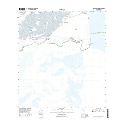 2016 Mouth of Rio Grande2016 Print · USGSThe Texas-Mexico border comes into focus at the coast during the mid-2010s, showing the river's final path to the sea. You can trace the small community at Kopernik Shores, the remote expanse of Boca Chica Beach, and specific coastal landmarks like Mesa del Gavilan.
 - 2019 Map of Mouth of Rio Grande, 2019 Print
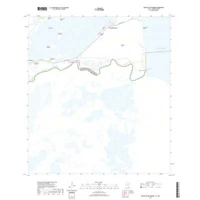 2019 Mouth of Rio Grande2019 Print · USGSCoastal Cameron County comes into focus at the terminus of the Texas-Mexico border during the late 2010s. Researchers can trace the winding Rio Grande to the sea, exploring the small settlement of Kopernik Shores and the many lomas like Loma de la Pita.
 - 2022 Map of Mouth of Rio Grande, 2022 Print
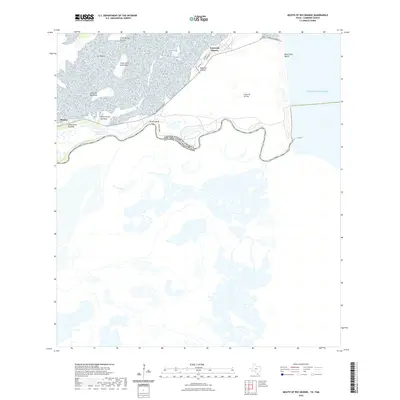 2022 Mouth of Rio Grande2022 Print · USGSThe Texas shoreline meets the Mexican border in the early 2020s, showing the final reach of the Rio Grande. Researchers can trace the residential layout of Kopernik Shores and locate coastal landmarks like Boca Chica Beach or Mesa del Gavilan.
 - 2025 Map of Mouth of Rio Grande, 2025 Print
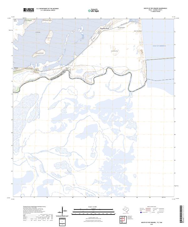 2025 Mouth of Rio Grande2025 Print · USGSThe Texas-Mexico border meets the sea at this coastal point during the 2020s. Trace the international line through Tarpon Bend and explore the street layouts of Kopernik Shores near the reaches of Boca Chica Beach.
End of results
Showing maps 1-13 of 13
Top cities near Boca Chica Village
- Brownsville historical maps
- Port Isabel historical maps
- Laguna Vista historical maps
- South Padre Island historical maps
- Bayview historical maps
Frequently asked questions
- What are the different types of historical maps available for Boca Chica Village?
- What is the oldest map of Boca Chica Village?
- Where can I purchase historical maps of Boca Chica Village for my home or office?
- Where can I download high-res historical maps of Boca Chica Village?
- Are there historical topographic maps available for Boca Chica Village?
- Is there historical aerial imagery available for Boca Chica Village?
- Where are historical maps of Boca Chica Village sourced from?