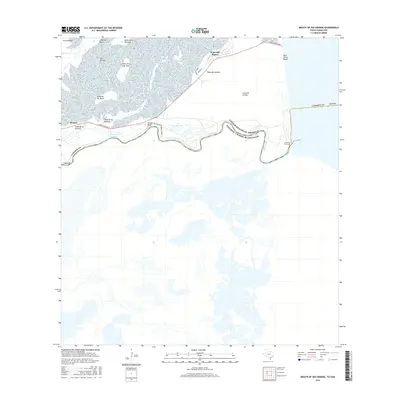
2016 Map of Mouth of Rio Grande
USGS Topo · Published 2016About this map
The Mouth of Rio Grande marks the southernmost extremity of the Texas coast, where the river meets the Gulf of Mexico along the international border with Mexico. This 2016 survey shows a landscape of low-lying coastal prairie and tidal flats characterized by numerous lomas—small, elevated clay dunes—including Loma de la Estrella and Loma de los Ebanitos. The small settlement of Kopernik Shores sits near Mesa del Gavilan, accessed via Boca Chica Blvd, which terminates at the sandy stretch of Boca Chica Beach. The serpentine path of the Rio Grande creates distinct features like Tarpon Bend, illustrating the dynamic nature of the river as it winds toward the sea. To the west, the Port Isabel Reservoir and the community of Monica provide a glimpse into the local infrastructure and residential layout of this unique borderland environment.
Find a feature on this map
26 named features on this map. Tap any name to fly to it.
Don’t see what you’re looking for? This feature index may not catch every label — zoom into the map to look around manually.
Map Details
Editions of this 2016 Mouth of Rio Grande Map
This is the sole edition of this map. No revisions or reprints were ever made.
Other maps of this area

1929 · Palmito Hill
USGS Topo · 1:24,000

1929 · Point Isabel
USGS Topo · 1:24,000

1929 · Laguna Vista
USGS Topo · 1:24,000

1934 · Port Isabel
USGS Topo · 1:31,680

1936 · Palmito Hill
USGS Topo · 1:31,680

1936 · Laguna Vista
USGS Topo · 1:31,680
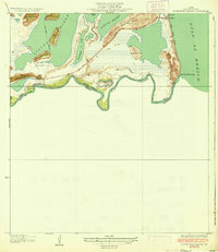
1936 · Mouth Of Rio Grande
USGS Topo · 1:31,680

1953 · Brownsville
USGS Topo · 1:250,000
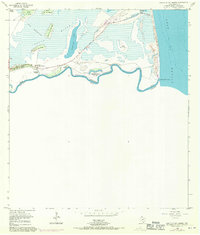
1955 · Mouth Of Rio Grande
USGS Topo · 1:24,000
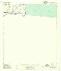
1955 · Mouth Of Rio Grande
USGS Topo · 1:62,500