2000s (21st Century) Maps of Rangerville, Texas
Explore 17 historic maps of Rangerville from the 2000s (21st Century). These maps offer a rare glimpse into what life looked like during the 2000s — showing old roads, neighborhoods, homes, and landmarks that have changed or disappeared over time.
Whether you're researching your family's past, planning a metal detecting trip, or studying how Rangerville's landscape evolved across the 2000s, these high-resolution maps are a powerful tool for exploring the history of this region.
- Focus on a specific era: All maps on this page are from the 2000s, giving you a focused view of this time period.
- See what’s changed: Compare century-old streets, trails, and buildings to today's modern landscape using overlays and satellite layers.
- Research with precision: Use these maps for genealogy, historical research, land use analysis, or educational projects.
- View, download, or print: Maps are fully viewable online in high resolution, and can be downloaded or printed for your own records.
Start exploring Rangerville's history through authentic maps from the 2000s. This is your window into the past.
Rangerville, TX maps
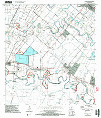
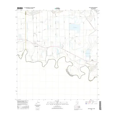
(17)- 2002 Map of Santa Maria, 2003 Print
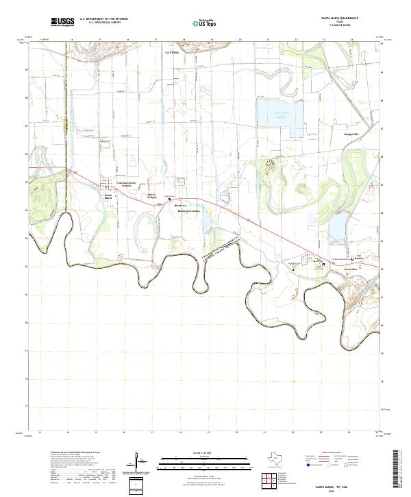
 2002 Santa Maria2003 Print · USGSThe Lower Rio Grande valley at the turn of the millennium shows a landscape defined by the river's winding path and the Military Highway. Genealogists and historians can trace local settlements like Santa Maria and Bluetown, or locate rural sites like Gloria Ranch.
 - 2002 Map of La Paloma, 2003 Print
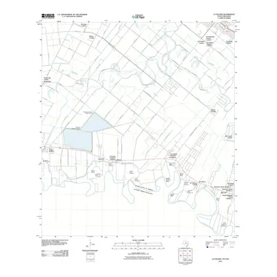
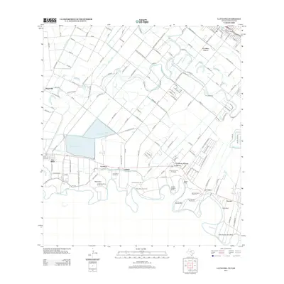
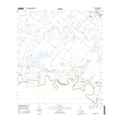
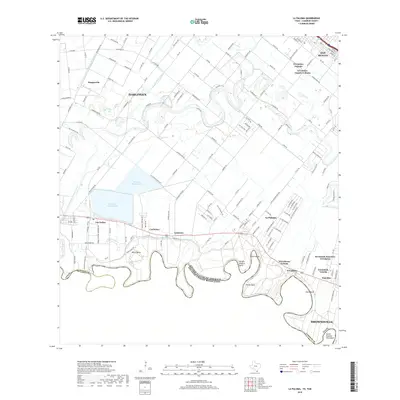
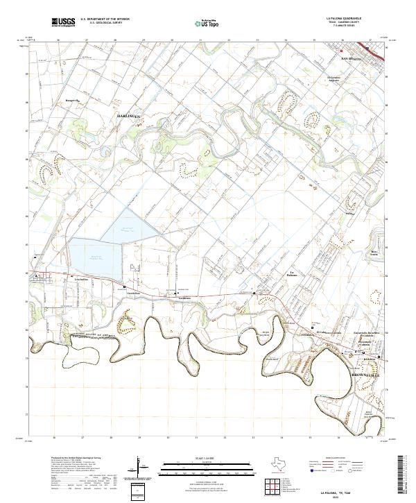
 2002 La Paloma2003 Print · USGSThe Lower Rio Grande Valley at the turn of the millennium shows a landscape defined by international borders and river meanders. Genealogists can trace family footprints near La Paloma, Rangerville, and local landmarks like the La Encantada School.
 - 2010 Map of Harlingen, 2010 Print
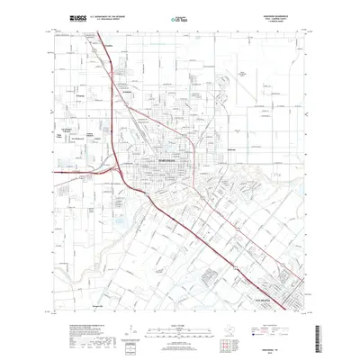
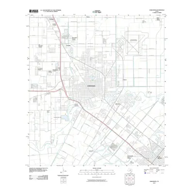 2010 Harlingen2010 Print · USGSCovers Rangerville, including Harlingen, San Benito, and other nearby areas
 - 2010 Map of Santa Maria, 2010 Print
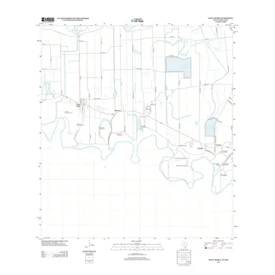
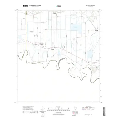
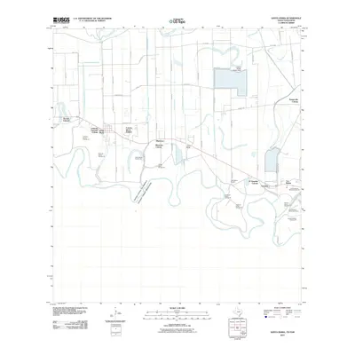 2010 Santa Maria2010 Print · USGSCovers Rangerville, including La Feria, Los Indios, and other nearby areas
 - 2010 Map of La Paloma, 2010 Print
 2010 La Paloma2010 Print · USGSCovers Rangerville, including Brownsville, Harlingen, and other nearby areas
 - 2013 Map of La Paloma, 2013 Print
 2013 La Paloma2013 Print · USGSCovers Rangerville, including Brownsville, Harlingen, and other nearby areas
 - 2013 Map of Santa Maria, 2013 Print
 2013 Santa Maria2013 Print · USGSCovers Rangerville, including La Feria, Los Indios, and other nearby areas
 - 2013 Map of Harlingen, 2013 Print
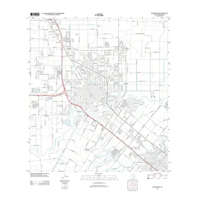 2013 Harlingen2013 Print · USGSCovers Rangerville, including Harlingen, San Benito, and other nearby areas
 - 2016 Map of Harlingen, 2016 Print
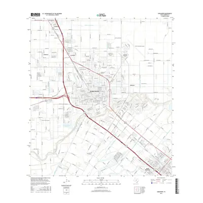 2016 Harlingen2016 Print · USGSCovers Rangerville, including Harlingen, San Benito, and other nearby areas
 - 2016 Map of La Paloma, 2016 Print
 2016 La Paloma2016 Print · USGSCovers Rangerville, including Brownsville, Harlingen, and other nearby areas
 - 2016 Map of Santa Maria, 2016 Print
 2016 Santa Maria2016 Print · USGSCovers Rangerville, including La Feria, Los Indios, and other nearby areas
 - 2019 Map of Santa Maria, 2019 Print
 2019 Santa Maria2019 Print · USGSCovers Rangerville, including La Feria, Los Indios, and other nearby areas
 - 2019 Map of La Paloma, 2019 Print
 2019 La Paloma2019 Print · USGSCovers Rangerville, including Brownsville, Harlingen, and other nearby areas
 - 2019 Map of Harlingen, 2019 Print
 2019 Harlingen2019 Print · USGSCovers Rangerville, including Harlingen, San Benito, and other nearby areas
 - 2022 Map of Harlingen, 2022 Print
 2022 Harlingen2022 Print · USGSThe Lower Rio Grande Valley's hydraulic and urban development is on full display here in the early 2020s. Researchers can locate family history at the Harlingen City Cem or trace the winding Arroyo Colorado past Gabriel's Lndg and Palmetal.
 - 2022 Map of La Paloma, 2022 Print
 2022 La Paloma2022 Print · USGSThe Rio Grande Valley near the border at the start of the 2020s shows a complex landscape of irrigation and traditional settlements. Genealogists can trace family heritage through numerous rural burial sites like Zepeda Cem, Landrum Cem, and Aguilar Cem.
 - 2022 Map of Santa Maria, 2022 Print
 2022 Santa Maria2022 Print · USGSThe Lower Rio Grande Valley's intricate irrigation and border communities are captured here in the early 2020s. Researchers can locate family landmarks like the Longoria Cem or trace the extensive Santa Maria Main Canal through Bluetown.
End of results
Showing maps 1-17 of 17
Top cities near Rangerville
- Brownsville historical maps
- Harlingen historical maps
- Weslaco historical maps
- San Benito historical maps
- Mercedes historical maps
- La Feria historical maps
See more
Top neighborhoods of Rangerville
Frequently asked questions
- What are the different types of historical maps available for Rangerville?
- What is the oldest map of Rangerville?
- Where can I purchase historical maps of Rangerville for my home or office?
- Where can I download high-res historical maps of Rangerville?
- Are there historical topographic maps available for Rangerville?
- Is there historical aerial imagery available for Rangerville?
- Where are historical maps of Rangerville sourced from?