Old Maps of Groom, Texas for Metal Detecting
Plan your next treasure hunt with 10 historic maps of Groom. Find old homesites, ghost towns, trails, and gathering spots that may be lost to time — perfect for identifying promising metal detecting locations.
- Locate forgotten sites: Uncover places like long-lost settlements, abandoned rail lines, or gathering spots.
- Plan better hunts: Use map overlays combined with LiDAR or satellite views to narrow in on historically rich areas.
- Made for detectorists: Thousands of hobbyists use these maps to discover relics, coins, and hidden history.
Use these historic maps to boost your research and find new opportunities beneath the surface of Groom.
Groom, TX maps
(10)- 1954 Map of Amarillo, 1966 Print
 1954 Amarillo1966 Print · USGSThe Texas Panhandle in the mid-1960s shows a landscape of rising industrial power and deep-rooted ranching tradition. Local historians can trace the paths of the Panhandle and Santa Fe railroad or locate sites like the Pantex Ordnance Plant and Mobeetie.2 unique versions available
 - 1958 Map of Amarillo
 1958 Amarillo1958 Print · USGSThe Texas Panhandle in the mid-1950s reveals a landscape of expanding military installations and oil-rich rail towns. Local historians can trace the development of Amarillo Air Force Base or locate smaller settlements like Magic City and New Mobeetie.
 - 1960 Map of Groom, 1961 Print
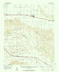 1960 Groom1961 Print · USGSThe Texas Panhandle plains meet the breaks of the Red River in the 1960s, where ranching culture and rail lines converge. Genealogists and historians can locate family landmarks like the Goodnight Cem and trace cattle operations at Thornberry Ranch or SJ Ranch.
 - 1983 Map of Groom, 1984 Print
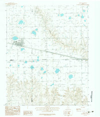 1983 Groom1984 Print · USGSThe Texas Panhandle plains meet the rolling breaks of the Caprock in the early 1980s during a period of major highway expansion. Genealogists and local historians can trace the early layout of Groom, the small settlement of Boydston, and a rural Landing Strip.
 - 1986 Map of Amarillo
 1986 Amarillo1986 Print · USGSAmarillo and the surrounding Texas Panhandle are captured here in the mid-eighties as a hub of energy, agriculture, and transport. Researchers can trace the sprawling Pantex Plant, the rail-side growth of Panhandle, and the deep cuts of Palo Duro Canyon.2 unique versions available
 - 2010 Map of Groom, 2010 Print
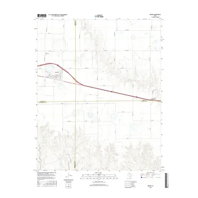
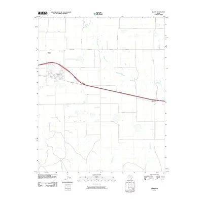 2010 Groom2010 Print · USGSCovers Groom, including Gray County, Armstrong County, and other nearby areas
 - 2012 Map of Groom, 2012 Print
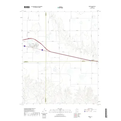
 2012 Groom2012 Print · USGSCovers Groom, including Gray County, Armstrong County, and other nearby areas
 - 2016 Map of Groom, 2016 Print
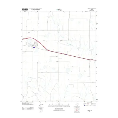
 2016 Groom2016 Print · USGSCovers Groom, including Gray County, Armstrong County, and other nearby areas
 - 2019 Map of Groom, 2019 Print
 2019 Groom2019 Print · USGSCovers Groom, including Gray County, Armstrong County, and other nearby areas
 - 2022 Map of Groom, 2022 Print
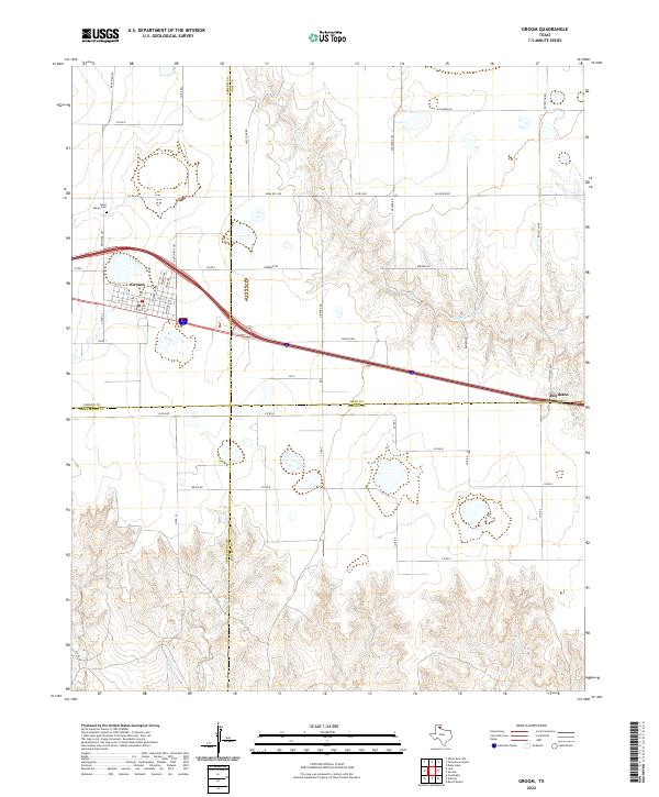 2022 Groom2022 Print · USGSThe Texas Panhandle town of Groom is captured here during a period of modern ranching and transit. Researchers can trace family history at Saint Marys Cem or follow the paths of McClellan Cr and the settlement at Boydston.
End of results
Showing maps 1-10 of 10
Top cities near Groom
Frequently asked questions
- What are the different types of historical maps available for Groom?
- What is the oldest map of Groom?
- Where can I purchase historical maps of Groom for my home or office?
- Where can I download high-res historical maps of Groom?
- Are there historical topographic maps available for Groom?
- Is there historical aerial imagery available for Groom?
- Where are historical maps of Groom sourced from?