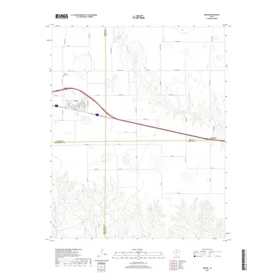
2019 Map of Groom
USGS Topo · Published 2019About this map
The High Plains landscape of the Texas Panhandle is captured here, centered on the community of Groom. This area is defined by the convergence of four counties—Carson, Gray, Armstrong, and Donley—creating a unique political crossroads for local researchers. The town site itself is intricately detailed with its grid of streets, including Front St, Bosen Ave, and Choctaw Ave. Outside of the town center, the terrain is shaped by the headwaters and drainage of several seasonal waterways, most notably McClellan Cr and Rawhide Cr. To the north, Saint Marys Cem stands as a significant genealogical landmark for those tracing early families in this section of Carson County. The map also documents the transition to the small settlement of Boydston at the eastern edge, connected by a network of rural routes like Hudson Rd and Treerow Rd.
Find a feature on this map
52 named features on this map. Tap any name to fly to it.
Don’t see what you’re looking for? This feature index may not catch every label — zoom into the map to look around manually.
Map Details
Editions of this 2019 Groom Map
This is the sole edition of this map. No revisions or reprints were ever made.
Other maps of this area
1954 · Amarillo
USGS Topo · 1:250,000
1958 · Amarillo
USGS Topo · 1:250,000
1960 · Groom
USGS Topo · 1:62,500
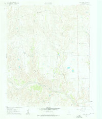
1962 · Roach Ranch
USGS Topo · 1:24,000
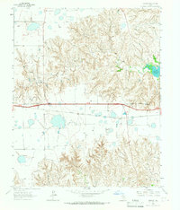
1964 · Jericho
USGS Topo · 1:24,000
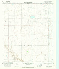
1966 · Grandview School
USGS Topo · 1:24,000
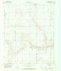
1966 · White Deer SW
USGS Topo · 1:24,000
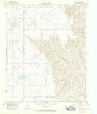
1968 · Deep Lake
USGS Topo · 1:24,000
1983 · Shamrock
USGS Topo · 1:100,000
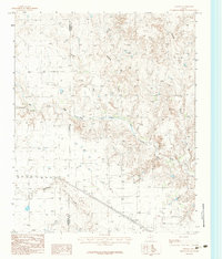
1983 · Ashtola
USGS Topo · 1:24,000