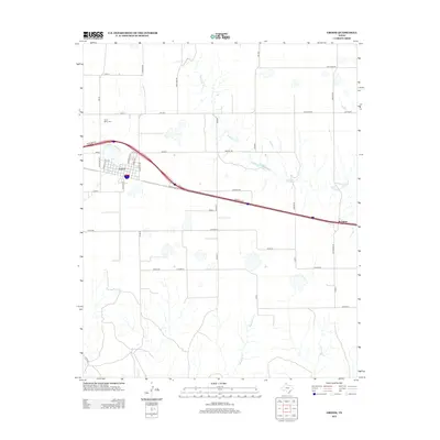
2012 Map of Groom
USGS Topo · Published 2012About this map
Groom stands as the primary hub of this Texas Panhandle landscape, where a grid of town streets like Bivins Ave and Wilkerson Ave meets the sweeping path of Interstate 40. The town's historical foundations are anchored by sites such as Saint Mary Cem to the northwest, while the small settlement of Boydston marks the eastern edge of the survey area. This 2012 depiction captures a region defined by its vast agricultural infrastructure, where long rural roads including Ollinger Rd and Knorpp Rd partition the plains into large sections. The natural drainage of the land is shaped by intermittent watercourses like McClellan Cr and Rawhide Cr, which cut subtle paths through the terrain between the ranches and local Airport.
Find a feature on this map
47 named features on this map. Tap any name to fly to it.
Don’t see what you’re looking for? This feature index may not catch every label — zoom into the map to look around manually.
Map Details
Editions of this 2012 Groom Map
This is the sole edition of this map. No revisions or reprints were ever made.
Other maps of this area
1954 · Amarillo
USGS Topo · 1:250,000
1958 · Amarillo
USGS Topo · 1:250,000
1960 · Groom
USGS Topo · 1:62,500
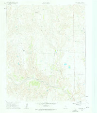
1962 · Roach Ranch
USGS Topo · 1:24,000
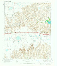
1964 · Jericho
USGS Topo · 1:24,000
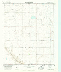
1966 · Grandview School
USGS Topo · 1:24,000
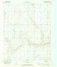
1966 · White Deer SW
USGS Topo · 1:24,000
1968 · Deep Lake
USGS Topo · 1:24,000
1983 · Shamrock
USGS Topo · 1:100,000
1983 · Ashtola
USGS Topo · 1:24,000