Old Maps of New Loco, Texas for Genealogy
Trace your family roots with 10 historic maps of New Loco. These high-res maps reveal old neighborhoods, homesites, landmarks, and streets — helping you uncover where your ancestors lived and how the area evolved over time.
- Explore historic neighborhoods: Identify where your relatives may have lived in the 1800s or 1900s.
- Compare maps over time: Trace the changes in streets, buildings, and landmarks for multi-generational research.
- Perfect for genealogy & ancestry research: Used by family historians and researchers to map out lineage and migration.
These maps are an incredible resource for exploring your personal connection to New Loco's past.
New Loco, TX maps
(10)- 1954 Map of Plainview, 1966 Print
 1954 Plainview1966 Print · USGSThe Texas Panhandle and the rugged Caprock Escarpment appear in detail as the region's agricultural and rail networks reached their mid-century peak. Trace family roots and old land patterns through the canyons and plains near Plainview, Palo Duro State Park, and Childress.3 unique versions available
 - 1958 Map of Plainview
 1958 Plainview1958 Print · USGSThe High Plains and Caprock Escarpment meet in the late fifties, showcasing the ranching and rail networks of the Texas Panhandle. Trace family roots and vanished stops along the Panhandle and Santa Fe railroad through Plainview, Silverton, and Matador.
 - 1960 Map of Loco, 1962 Print
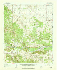 1960 Loco1962 Print · USGSChildress and Collingsworth counties are captured here in the early sixties, as the cattle and cotton country straddles the Oklahoma border. Researchers can trace rural lineages through the Loco Cem, find former school sites like Garden Valley Sch, or follow the Fort Worth and Denver rail line.
 - 1984 Map of Loco, 1985 Print
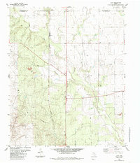 1984 Loco1985 Print · USGSChildress and Collingsworth Counties are captured here in the early eighties as ranching and rail interests defined the local landscape. Researchers can trace the Burlington Northern railroad through Loco or locate family roots at the Loco Cem near Buck Creek.
 - 1986 Map of Wellington
 1986 Wellington1986 Print · USGSThe Texas Panhandle in the 1980s shows a landscape of cattle ranching and rail-dependent towns along the Burlington Northern. Trace family history and local industry through locations like the Citizens Cem, Greenbelt Reservoir, and Mc Knight.2 unique versions available
 - 2010 Map of Loco, 2010 Print
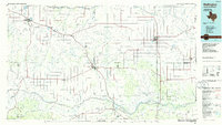
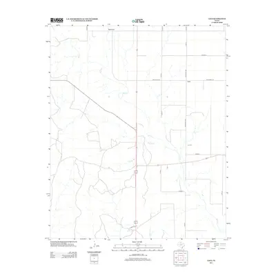
 2010 Loco2010 Print · USGSCovers New Loco, including Loco, Childress County, and other nearby areas
 - 2012 Map of Loco, 2012 Print
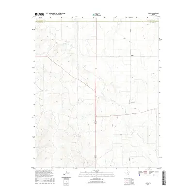
 2012 Loco2012 Print · USGSCovers New Loco, including Loco, Childress County, and other nearby areas
 - 2016 Map of Loco, 2016 Print
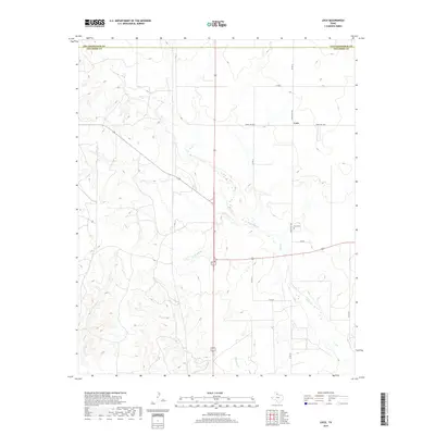
 2016 Loco2016 Print · USGSCovers New Loco, including Loco, Childress County, and other nearby areas
 - 2019 Map of Loco, 2019 Print
 2019 Loco2019 Print · USGSCovers New Loco, including Loco, Childress County, and other nearby areas
 - 2022 Map of Loco, 2022 Print
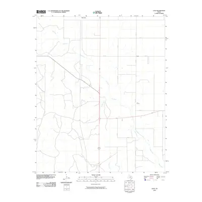
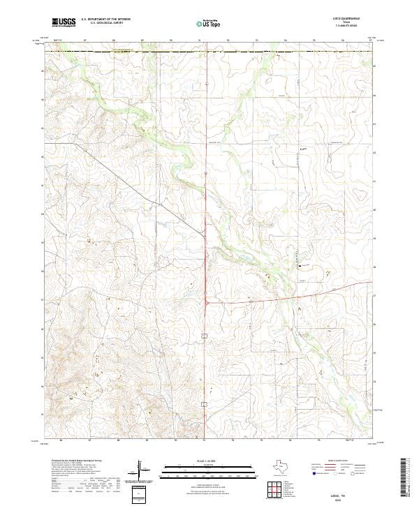 2022 Loco2022 Print · USGSChildress County ranch lands and the small settlement of Loco are captured here in the early twenty-first century. Genealogists and local researchers can locate the Loco Cem and trace the winding courses of Buck Cr and Twin Mill Br through the territory.
End of results
Showing maps 1-10 of 10
Top cities near New Loco
Frequently asked questions
- What are the different types of historical maps available for New Loco?
- What is the oldest map of New Loco?
- Where can I purchase historical maps of New Loco for my home or office?
- Where can I download high-res historical maps of New Loco?
- Are there historical topographic maps available for New Loco?
- Is there historical aerial imagery available for New Loco?
- Where are historical maps of New Loco sourced from?