Old Maps of Henderson Chapel, Texas for Metal Detecting
Plan your next treasure hunt with 12 historic maps of Henderson Chapel. Find old homesites, ghost towns, trails, and gathering spots that may be lost to time — perfect for identifying promising metal detecting locations.
- Locate forgotten sites: Uncover places like long-lost settlements, abandoned rail lines, or gathering spots.
- Plan better hunts: Use map overlays combined with LiDAR or satellite views to narrow in on historically rich areas.
- Made for detectorists: Thousands of hobbyists use these maps to discover relics, coins, and hidden history.
Use these historic maps to boost your research and find new opportunities beneath the surface of Henderson Chapel.
Henderson Chapel, TX maps
(12)- 1892 Map of San Angelo
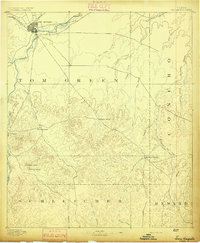 1892 San Angelo1892 Print · USGSSan Angelo and the surrounding West Texas ranch lands appear here in the early 1890s as a vital junction for the river and rail. Researchers can trace early water sources and settlements like Christoval, Lipan Spring, and the G. C. & S. F. Ry. line.3 unique versions available
 - 1954 Map of San Angelo, 1967 Print
 1954 San Angelo1967 Print · USGSThe Concho Valley and eastern Permian Basin transition from ranching to a burgeoning oil economy during the mid-twentieth century. Trace the expansion of San Angelo near Goodfellow AFB and locate old crossroads like Stiles, Texon, and Barnhart along the SANTA FE railroad.2 unique versions available
 - 1957 Map of Eola, 1958 Print
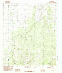
 1957 Eola1958 Print · USGSThe rural landscapes of Tom Green and Concho counties are captured here in the late fifties, during a period of steady oil and ranching activity. Genealogists can trace family footprints through the Lakeview Community Cem, the old Dry Hollow Sch (Aband), and early settlements like Mereta and Vancourt.
 - 1958 Map of San Angelo
 1958 San Angelo1958 Print · USGSWest Texas in the late fifties centers on the growing hub of San Angelo and its vital river confluences. Genealogists and historians can trace the paths of the Santa Fe railroad to outposts like Fort Chadbourne, Big Lake, and the specialized community of Sanatorium.
 - 1965 Map of San Angelo
 1965 San Angelo1965 Print · USGSWest Texas in the mid-sixties reveals a landscape shaped by the petroleum industry and strategic water management. Genealogists and historians can trace the rail corridor through Texon and Big Lake, or locate military landmarks like Goodfellow AFB and Broome Air Force Auxiliary Airfield.
 - 1984 Map of Vick
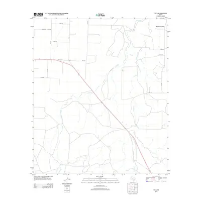
 1984 Vick1984 Print · USGSThe rural borderlands of Tom Green and Concho counties are captured here in the mid-1980s. Researchers can trace the watercourses of Kickapoo Creek and Frog Pond Creek near the small settlement of Vick, or locate local landmarks like Dry Hollow.
 - 1986 Map of San Angelo
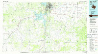 1986 San Angelo1986 Print · USGSSan Angelo and the Concho Valley appear here in the mid-1980s as a landscape shaped by massive reservoirs and a thriving energy industry. Researchers can trace the Atchison Topeka and Santa Fe rail line past Knickerbocker and explore the sprawling Oil and Gas Fields of the western plains.2 unique versions available
 - 2010 Map of Vick, 2010 Print
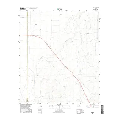
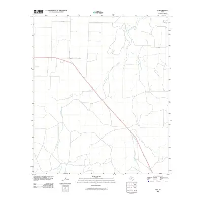 2010 Vick2010 Print · USGSCovers Henderson Chapel, including Vick, Tom Green County, and other nearby areas
 - 2012 Map of Vick, 2012 Print
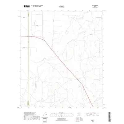
 2012 Vick2012 Print · USGSCovers Henderson Chapel, including Vick, Tom Green County, and other nearby areas
 - 2016 Map of Vick, 2016 Print
 2016 Vick2016 Print · USGSCovers Henderson Chapel, including Vick, Tom Green County, and other nearby areas
 - 2019 Map of Vick, 2019 Print
 2019 Vick2019 Print · USGSCovers Henderson Chapel, including Vick, Tom Green County, and other nearby areas
 - 2022 Map of Vick, 2022 Print
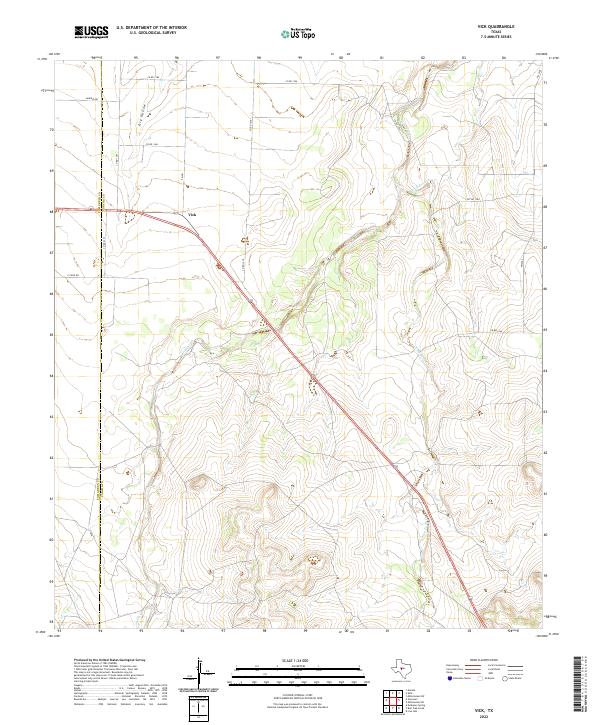 2022 Vick2022 Print · USGSConcho County ranch lands are documented in this recent survey of the Texas interior. Local researchers can trace the movement of water across the plains via Kickapoo Cr and Frog Pond Cr near the rural settlement of Vick.
End of results
Showing maps 1-12 of 12
Top cities near Henderson Chapel
Frequently asked questions
- What are the different types of historical maps available for Henderson Chapel?
- What is the oldest map of Henderson Chapel?
- Where can I purchase historical maps of Henderson Chapel for my home or office?
- Where can I download high-res historical maps of Henderson Chapel?
- Are there historical topographic maps available for Henderson Chapel?
- Is there historical aerial imagery available for Henderson Chapel?
- Where are historical maps of Henderson Chapel sourced from?