2000s (21st Century) Maps of Dallas County, Texas
Explore 100 historic maps of Dallas County from the 2000s (21st Century). These maps offer a rare glimpse into what life looked like during the 2000s — showing old roads, neighborhoods, homes, and landmarks that have changed or disappeared over time.
Whether you're researching your family's past, planning a metal detecting trip, or studying how Dallas County's landscape evolved across the 2000s, these high-resolution maps are a powerful tool for exploring the history of this region.
- Focus on a specific era: All maps on this page are from the 2000s, giving you a focused view of this time period.
- See what’s changed: Compare century-old streets, trails, and buildings to today's modern landscape using overlays and satellite layers.
- Research with precision: Use these maps for genealogy, historical research, land use analysis, or educational projects.
- View, download, or print: Maps are fully viewable online in high resolution, and can be downloaded or printed for your own records.
Start exploring Dallas County's history through authentic maps from the 2000s. This is your window into the past.
Dallas County, TX maps
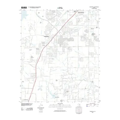
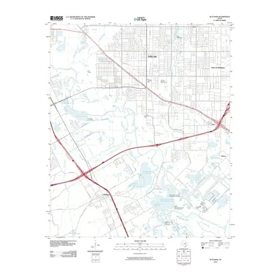
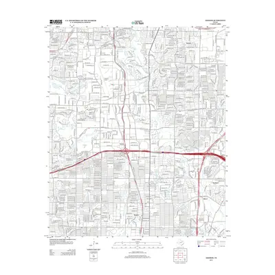
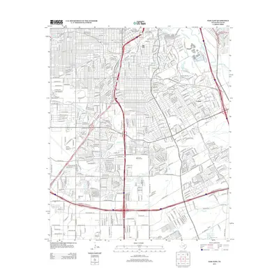
(100)- 2010 Map of Lancaster, 2010 Print
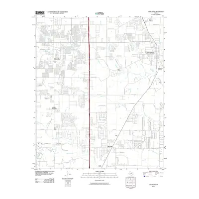 2010 Lancaster2010 Print · USGSCovers Dallas County, including Dallas, De Soto, and other nearby areas
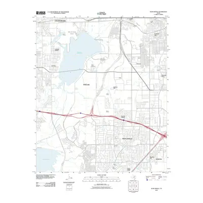
 - 2010 Map of Seagoville, 2010 Print
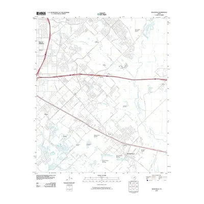 2010 Seagoville2010 Print · USGSCovers Dallas County, including Dallas, Mesquite, and other nearby areas
 - 2010 Map of White Rock Lake, 2010 Print
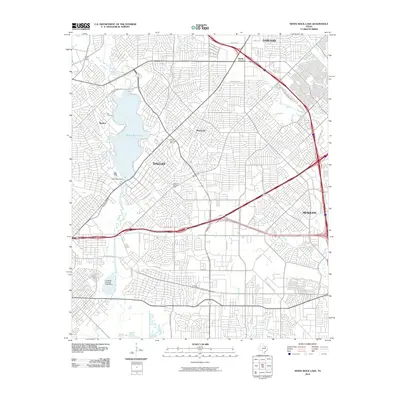 2010 White Rock Lake2010 Print · USGSCovers Dallas County, including Dallas, Garland, and other nearby areas
 - 2010 Map of Grapevine, 2010 Print
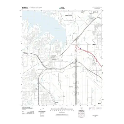 2010 Grapevine2010 Print · USGSCovers Dallas County, including Irving, Lewisville, and other nearby areas
 - 2010 Map of Rowlett, 2010 Print
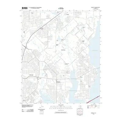 2010 Rowlett2010 Print · USGSCovers Dallas County, including Dallas, Garland, and other nearby areas
 - 2010 Map of Euless, 2010 Print
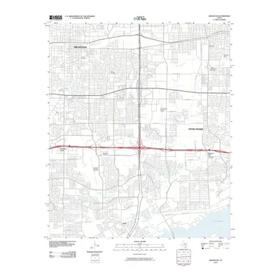
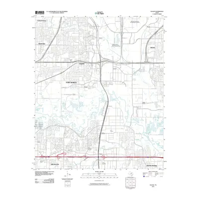 2010 Euless2010 Print · USGSCovers Dallas County, including Fort Worth, Arlington, and other nearby areas
 - 2010 Map of Garland, 2010 Print
 2010 Garland2010 Print · USGSCovers Dallas County, including Dallas, Plano, and other nearby areas
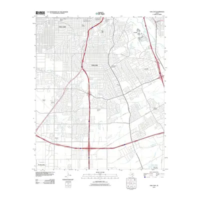
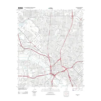
 - 2010 Map of Dallas, 2010 Print
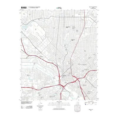 2010 Dallas2010 Print · USGSCovers Dallas County, including Dallas, University Park, and other nearby areas
 - 2010 Map of Cedar Hill, 2010 Print
 2010 Cedar Hill2010 Print · USGSCovers Dallas County, including Dallas, Grand Prairie, and other nearby areas
 - 2010 Map of India, 2010 Print
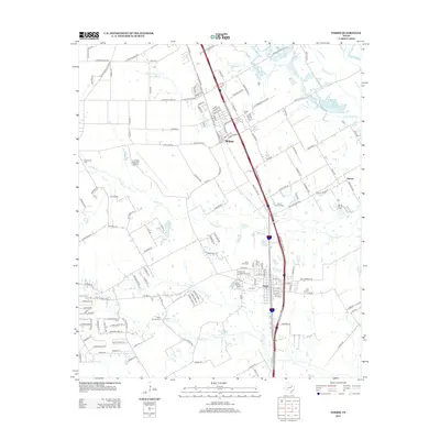
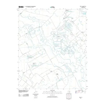 2010 India2010 Print · USGSCovers Dallas County, including Seagoville, Combine, and other nearby areas
 - 2010 Map of Ferris, 2010 Print
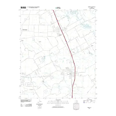 2010 Ferris2010 Print · USGSCovers Dallas County, including Dallas, Lancaster, and other nearby areas
 - 2010 Map of Arlington, 2010 Print
 2010 Arlington2010 Print · USGSCovers Dallas County, including Arlington, Grand Prairie, and other nearby areas
 - 2010 Map of Hutchins, 2010 Print
 2010 Hutchins2010 Print · USGSCovers Dallas County, including Dallas, Mesquite, and other nearby areas
 - 2010 Map of Duncanville, 2010 Print
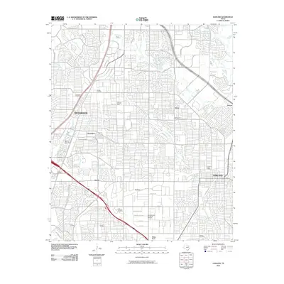
 2010 Duncanville2010 Print · USGSCovers Dallas County, including Dallas, Grand Prairie, and other nearby areas
 - 2010 Map of Addison, 2010 Print
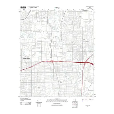 2010 Addison2010 Print · USGSCovers Dallas County, including Dallas, Plano, and other nearby areas
 - 2010 Map of Oak Cliff, 2010 Print
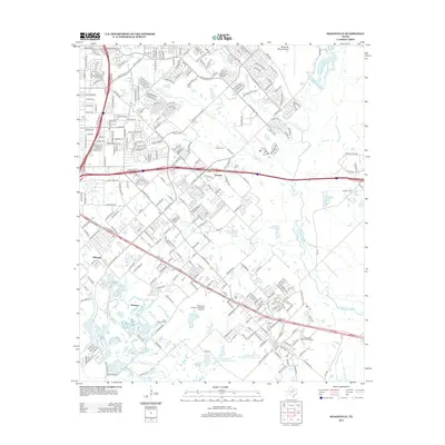
 2010 Oak Cliff2010 Print · USGSCovers Dallas County, including Dallas, DeSoto, and other nearby areas
 - 2010 Map of Carrollton, 2010 Print
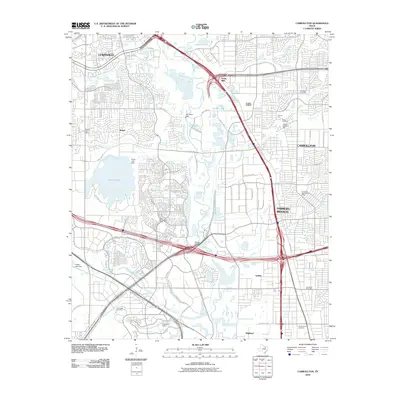 2010 Carrollton2010 Print · USGSCovers Dallas County, including Dallas, Irving, and other nearby areas
 - 2010 Map of Britton, 2010 Print
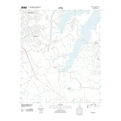 2010 Britton2010 Print · USGSCovers Dallas County, including Dallas, Arlington, and other nearby areas
 - 2010 Map of Irving, 2010 Print
 2010 Irving2010 Print · USGSCovers Dallas County, including Dallas, Irving, and other nearby areas
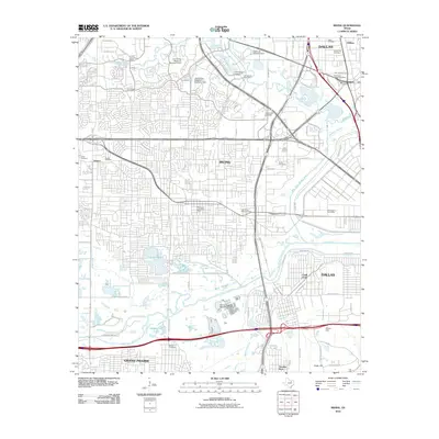
 - 2011 Map of Mesquite, 2011 Print
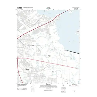 2011 Mesquite2011 Print · USGSCovers Dallas County, including Dallas, Garland, and other nearby areas
 - 2012 Map of Addison, 2012 Print
 2012 Addison2012 Print · USGSCovers Dallas County, including Dallas, Plano, and other nearby areas
 - 2012 Map of Seagoville, 2012 Print
 2012 Seagoville2012 Print · USGSCovers Dallas County, including Dallas, Mesquite, and other nearby areas
 - 2012 Map of Ferris, 2012 Print
 2012 Ferris2012 Print · USGSCovers Dallas County, including Dallas, Lancaster, and other nearby areas
 - 2012 Map of Dallas, 2012 Print
 2012 Dallas2012 Print · USGSCovers Dallas County, including Dallas, University Park, and other nearby areas
 - 2012 Map of Oak Cliff, 2012 Print
 2012 Oak Cliff2012 Print · USGSCovers Dallas County, including Dallas, DeSoto, and other nearby areas
Showing maps 1-25 of 100
Top cities of Dallas County
- Dallas historical maps
- Irving historical maps
- Garland historical maps
- Mesquite historical maps
- Rowlett historical maps
- DeSoto historical maps
See more
Frequently asked questions
- What are the different types of historical maps available for Dallas County?
- What is the oldest map of Dallas County?
- Where can I purchase historical maps of Dallas County for my home or office?
- Where can I download high-res historical maps of Dallas County?
- Are there historical topographic maps available for Dallas County?
- Is there historical aerial imagery available for Dallas County?
- Where are historical maps of Dallas County sourced from?