2010s Maps of Denton, Texas
Explore 28 historic maps of Denton from the 2010s. These maps offer a rare glimpse into what life looked like during the 2010s — showing old roads, neighborhoods, homes, and landmarks that have changed or disappeared over time.
Whether you're researching your family's past, planning a metal detecting trip, or studying how Denton's landscape evolved across the 2010s, these high-resolution maps are a powerful tool for exploring the history of this region.
- Focus on a specific era: All maps on this page are from the 2010s, giving you a focused view of this time period.
- See what’s changed: Compare century-old streets, trails, and buildings to today's modern landscape using overlays and satellite layers.
- Research with precision: Use these maps for genealogy, historical research, land use analysis, or educational projects.
- View, download, or print: Maps are fully viewable online in high resolution, and can be downloaded or printed for your own records.
Start exploring Denton's history through authentic maps from the 2010s. This is your window into the past.
Denton, TX maps
(28)- 2010 Map of Ponder, 2010 Print
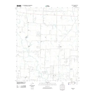 2010 Ponder2010 Print · USGSDenton County at the start of the 21st century reveals a landscape of ranching roots and emerging local aviation. Researchers can trace family history at Stony Cemetery or locate landmarks like Dun Ranch and the community of DISH.
- 2010 Map of Denton West, 2010 Print
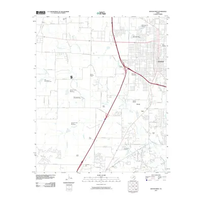 2010 Denton West2010 Print · USGSDenton and its western outskirts are captured here during a period of rapid suburban development. Researchers can trace the area's growth through landmarks like Texas Womans University, Jagoe, and the many family-named hills like Crawford Hill and Pilot Knob.
- 2010 Map of Sanger, 2010 Print
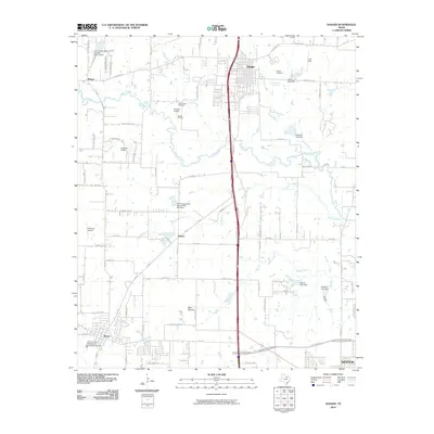 2010 Sanger2010 Print · USGSSanger and northern Denton County appear here in a decade of rapid expansion along the interstate corridor. Researchers can trace family roots at Sanger Cemetery, locate the Sanger Oil Field, and find old regional landmarks like Blue Mound and Bolivar.
- 2010 Map of Denton East, 2010 Print
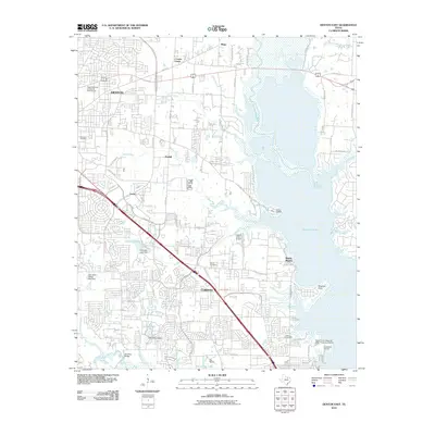 2010 Denton East2010 Print · USGSThe Denton-Corinth corridor meets the western shores of the Trinity River basin at the end of the first decade of the 2000s. Genealogists and local historians can locate the Old Alton Bridge and several family-named burial grounds like Shiloh Cemetery and Swisher Cemetery.
- 2010 Map of Argyle, 2010 Print
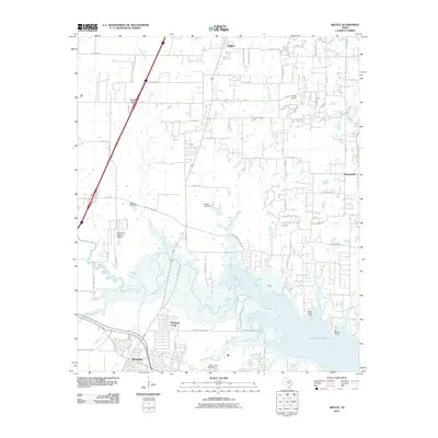 2010 Argyle2010 Print · USGSThe northern reaches of the Metroplex show a blend of lakeside recreation and suburban growth in the early twenty-first century. Researchers can trace the development of Argyle and Roanoke alongside landmarks like the Northwest Regional Airport and Grapevine Lake.
- 2010 Map of Green Valley, 2010 Print
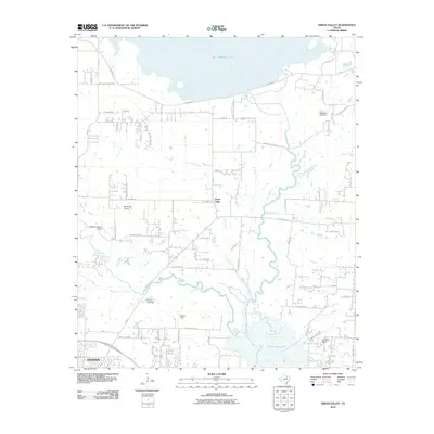 2010 Green Valley2010 Print · USGSDenton and its northern rural outskirts are captured here in the early twenty-first century as the city edges toward the shores of major reservoirs. Genealogists and local historians can trace the relationship between old ranch lands like Harmony Ranch and local flight history at Hartlee Field or Windy Hill Airport.
- 2010 Map of Lewisville West, 2010 Print
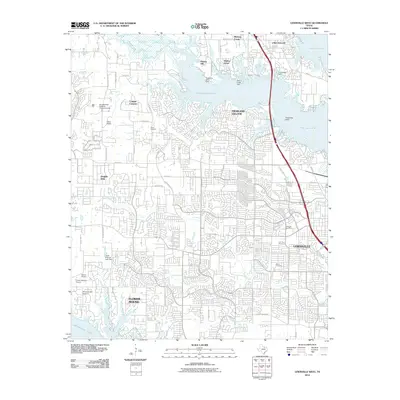 2010 Lewisville West2010 Print · USGSDenton County at the start of the decade shows the rapid suburban transition near Lake Lewisville. Genealogists and local historians can locate early landmarks like Chinn Cemetery and the Soroptimists Crippled Childrens Camp.
- 2013 Map of Denton East, 2013 Print
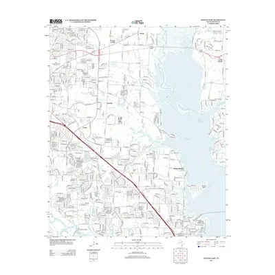 2013 Denton East2013 Print · USGSThe eastern edges of Denton and the expansive Lake Lewisville shoreline are captured here during a period of rapid suburban and infrastructure growth. Researchers can trace historic burial sites like Oakwood Cem alongside modern landmarks like Denton State School and the Lake Lewisville Toll Bridge.
- 2013 Map of Sanger, 2013 Print
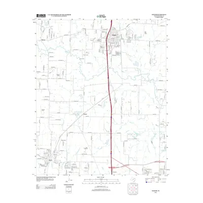 2013 Sanger2013 Print · USGSSanger and the surrounding Denton County prairie are shown here in the early twenty-first century as suburban growth meets rural industry. Researchers can trace the BNSF Railway corridor, locate the Sanger Oil Field, and find family landmarks like Sanger Cem and Blue Mound.
- 2013 Map of Denton West, 2013 Print
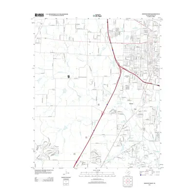 2013 Denton West2013 Print · USGSDenton County at the beginning of the 2010s shows a landscape of growing residential networks and established local infrastructure. Researchers can trace family history at Roselawn Memorial Cemetery or locate landmarks like Pilot Knob and Jagoe.
- 2013 Map of Green Valley, 2013 Print
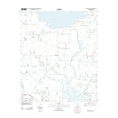 2013 Green Valley2013 Print · USGSDenton County, Texas, is captured here in the early twenty-first century as suburban growth meets rural ranchland. Aviation enthusiasts and local historians can trace numerous private airfields like Hartlee Field Airport and Vultures Row Airport near Green Valley.
- 2013 Map of Lewisville West, 2013 Print
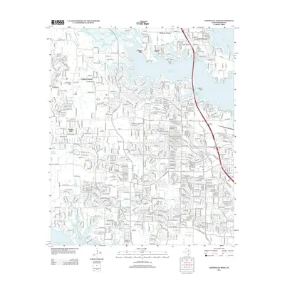 2013 Lewisville West2013 Print · USGSDenton County suburban expansion and recreational landscapes are captured here during the early twenty-first century. Genealogists and local historians can trace residential development near Chinn Cem or locate community landmarks like Camp Argyle and Chapel Hl.
- 2013 Map of Argyle, 2013 Print
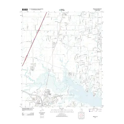 2013 Argyle2013 Print · USGSNorth Texas suburban expansion meets the shores of the reservoir during the early twenty-first century. Genealogists and local historians can trace the growth of Argyle, Roanoke, and Bartonville alongside landmarks like the Northwest Regional Airport.
- 2013 Map of Ponder, 2013 Print
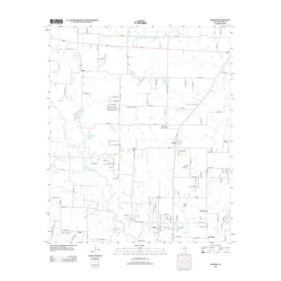 2013 Ponder2013 Print · USGSThe Denton County prairie near Ponder is shown in a period of transition during the early twenty-first century. Researchers can trace rural lineages at Akain Cem or explore a unique cluster of private airstrips like Deussen Field Airport and Dew Drop Airport.
- 2016 Map of Denton East, 2016 Print
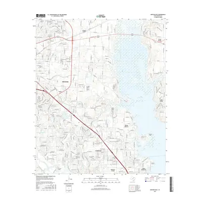 2016 Denton East2016 Print · USGSThe suburban corridors and reservoir shorelines of Denton County are captured here during the mid-2010s. Genealogists and local historians can locate Shiloh Cem, the Old Alton Bridge, and aviation sites like Hidden Valley Airpark.
- 2016 Map of Ponder, 2016 Print
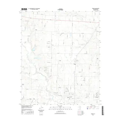 2016 Ponder2016 Print · USGSDenton County's rural character meets modern aviation and expanding settlements in the mid-2010s. Genealogists and local historians can trace the foundations of Stony, DISH, and Drop while locating historic sites like Stony Cem and Akain Cem.
- 2016 Map of Sanger, 2016 Print
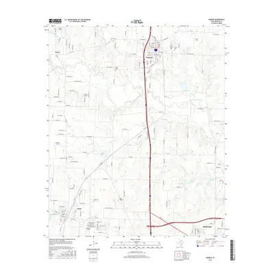 2016 Sanger2016 Print · USGSSanger and the northern Denton outskirts are shown in the mid-2010s during a period of steady growth. Researchers can trace rural cemeteries and local aviation history through features like Sanger Cem, Blue Mound, and Ironhead Airport.
- 2016 Map of Green Valley, 2016 Print
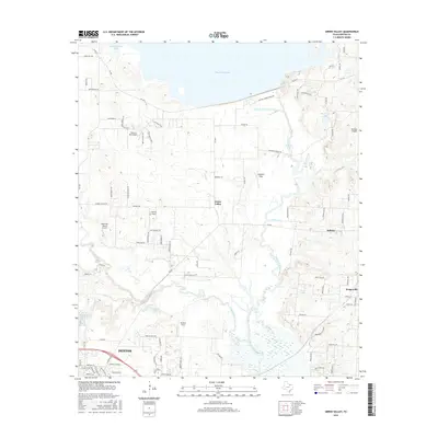 2016 Green Valley2016 Print · USGSNorth of Denton in the mid-2010s, this area showcases a unique landscape of riparian wetlands and numerous private airfields. Researchers can trace the banks of the Elm Fork Trinity River or locate local landmarks like Stagecoach Pass and Hartlee Field.
- 2016 Map of Lewisville West, 2016 Print
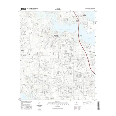 2016 Lewisville West2016 Print · USGSDenton County's suburban corridor meets the waters of Lake Lewisville in this mid-2010s survey. Researchers can trace the modern expansion of Lantana and Flower Mound while locating historical sites like Chinn Cem and Martin Cem.
- 2016 Map of Denton West, 2016 Print
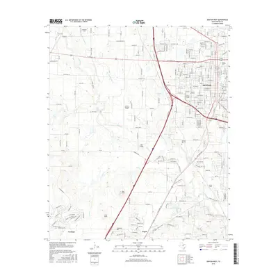 2016 Denton West2016 Print · USGSDenton County in the mid-2010s shows a landscape defined by collegiate expansion and the westward reach of the Dallas-Fort Worth metroplex. Researchers can trace local history from the Texas Woman's Univ campus to the rural outskirts near Bald Knob and Argyle Cem.
- 2016 Map of Argyle, 2016 Print
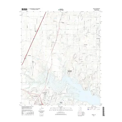 2016 Argyle2016 Print · USGSDenton County's suburban landscape is captured here during a period of rapid growth north of the Dallas-Fort Worth metroplex. Researchers can trace family roots at Prairie Mound Cem or explore the developed shorelines of Grapevine Lake and Trophy Club.
- 2019 Map of Sanger, 2019 Print
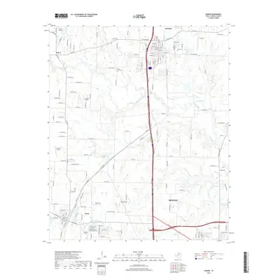 2019 Sanger2019 Print · USGSSanger and Krum are shown during a period of modern expansion in North Texas, where residential growth meets a landscape shaped by creeks and aviation. Researchers can locate family landmarks like the Sanger Cemetery or trace aviation history at Ironhead Airport and Richards Airport.
- 2019 Map of Argyle, 2019 Print
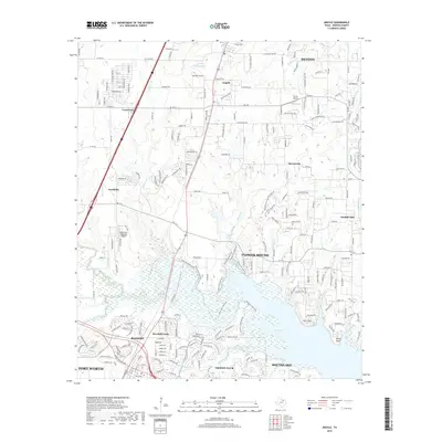 2019 Argyle2019 Print · USGSDenton County at the turn of the decade shows the rapid growth of the North Texas suburbs around the edges of Grapevine Lake. Researchers can trace the layout of growing communities like Trophy Club and Roanoke alongside landmarks like Bolo Point.
- 2019 Map of Denton East, 2019 Print
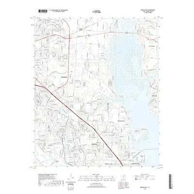 2019 Denton East2019 Print · USGSDenton and the Lake Lewisville shoreline are captured here during a period of significant suburban growth. Researchers can trace local heritage sites like Old Alton Bridge and Shiloh Cem or explore the waterfront of Shady Shores.
- 2019 Map of Denton West, 2019 Print
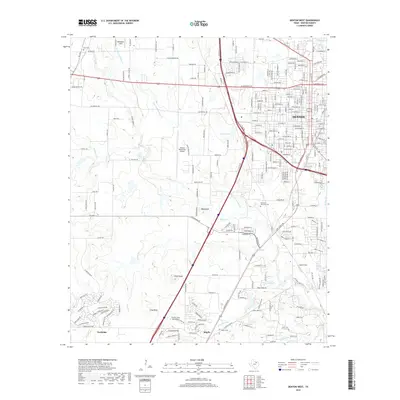 2019 Denton West2019 Print · USGSDenton and its southern neighbors Argyle and Northlake appear during a period of rapid suburban and aviation development. Genealogists and local historians can trace family plots at Roselawn Memorial Cem or locate regional landmarks like Bald Knob and Addington Field.
Showing maps 1-25 of 28
Top cities near Denton
- Dallas historical maps
- Fort Worth historical maps
- Frisco historical maps
- Carrollton historical maps
- Lewisville historical maps
- Flower Mound historical maps
See more
Top neighborhoods of Denton
- Cooper Creek historical maps
- Mayhill historical maps
- Denton historical maps
- Jagoe historical maps
- Minchin historical maps
- Green Valley historical maps
See more
Frequently asked questions
- What are the different types of historical maps available for Denton?
- What is the oldest map of Denton?
- Where can I purchase historical maps of Denton for my home or office?
- Where can I download high-res historical maps of Denton?
- Are there historical topographic maps available for Denton?
- Is there historical aerial imagery available for Denton?
- Where are historical maps of Denton sourced from?