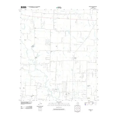
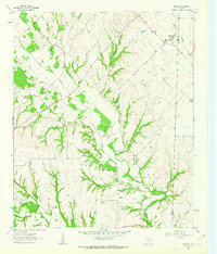
2010 Map of Ponder
USGS Topo · Published 2010About this map
Denton Creek carves a winding path through this North Texas landscape, defining the topography south of the community of Ponder. The area is characterized by a network of rural farm-to-market roads and family-named landmarks that speak to the region's agricultural and ranching foundations, including Dun Ranch and C Hobson Dunn Dam Number 1. Several small private aviation sites, such as Dew Drop Airport and the Rodeo Airstrip, reflect a modern layer of land use alongside traditional ranching. Local history is anchored by the Stony Cemetery and Akain Cemetery, which serve as physical ties to early families in the area. The map also includes the uniquely named municipality of Dish, situated near Clark Airport, and the growing footprint of Northlake at the southern edge of the quadrangle.
Find a feature on this map
58 named features on this map. Tap any name to fly to it.
Don’t see what you’re looking for? This feature index may not catch every label — zoom into the map to look around manually.
Map Details
Editions of this 2010 Ponder Map
This is the sole edition of this map. No revisions or reprints were ever made.
Other maps of this area

1954 · Sherman
USGS Topo · 1:250,000

1958 · Sherman
USGS Topo · 1:250,000
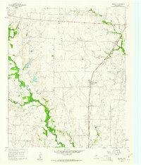
1959 · Ponder
USGS Topo · 1:24,000
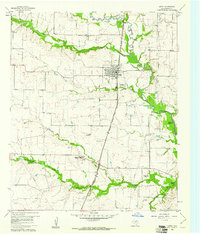
1960 · Justin
USGS Topo · 1:24,000
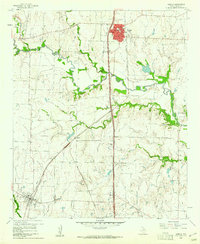
1960 · Sanger
USGS Topo · 1:24,000
1960 · Bluett
USGS Topo · 1:24,000
1960 · Argyle
USGS Topo · 1:24,000
1960 · Rhome
USGS Topo · 1:24,000
1960 · Denton West
USGS Topo · 1:24,000
1961 · Slidell
USGS Topo · 1:24,000