Old Maps of Yorktown, Texas for Hiking & Exploration
Hike through history with 16 historic maps of Yorktown. Explore old trails, ghost towns, and forgotten backroads — perfect for outdoor adventurers and local explorers.
- Rediscover forgotten places: Map out old mining camps, roads, and footpaths that no longer exist on modern maps.
- Layer with modern tools: Combine with LiDAR or satellite views to plan hikes through historical terrain.
- Made for exploration: Popular among hikers, overlanders, and local history lovers.
Use these maps to find adventure and explore the hidden past of Yorktown.
Yorktown, TX maps
(16)- 1953 Map of Beeville
 1953 Beeville1953 Print · USGSThe Texas Coastal Bend in the early fifties shows a landscape of growing regional hubs and vital maritime corridors. Trace the rail-and-river economy through Goliad, locate the Matagorda Lighthouse, and explore the sprawling Aransas National Wildlife Refuge.
 - 1956 Map of Beeville
 1956 Beeville1956 Print · USGSCoastal Texas and the brush country interior are shown in the mid-fifties, from the coastal bays to the inland oil fields. Trace the old rail lines of the Southern Pacific RR or locate the historic Matagorda Lighthouse and the Aransas National Wildlife Refuge.2 unique versions available
 - 1960 Map of Beeville
 1960 Beeville1960 Print · USGSCoastal Texas in the mid-fifties reveals a landscape of growing towns and vital military outposts like Foster AFB. Researchers can trace old rail lines including the Missouri Pacific and explore the vast Aransas National Wildlife Refuge.
 - 1963 Map of Yorktown West, 1965 Print
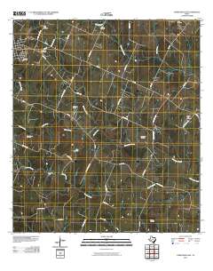
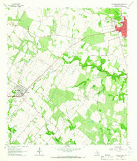 1963 Yorktown West1965 Print · USGSIn the early sixties, the DeWitt County prairie was a landscape of expanding energy production and rail transit. Researchers can trace the development of Roeder Field and Dilworth Field alongside local landmarks like Cotton Patch and Yorktown.3 unique versions available
 - 1963 Map of Yorktown East, 1965 Print
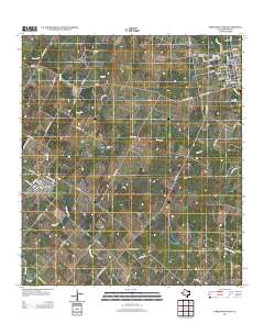
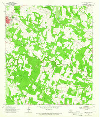 1963 Yorktown East1965 Print · USGSDeWitt County's agricultural and energy landscape comes into focus in the early sixties as the oil and gas industry expanded across the ranch lands. Genealogists can trace family footprints at Rabke Cem, the Mean Treude Cem, and along the Southern Pacific rail line.2 unique versions available
 - 1985 Map of Goliad, 1992 Print
 1985 Goliad1992 Print · USGSThe South Texas plains during the mid-eighties reveal a landscape of deep-rooted ranching towns and historic river crossings. Genealogists and historians can trace family locations through Upper Meyersville, follow the Southern Pacific rail line, or locate landmarks like OLF Goliad and Goliad State Park.
 - 2010 Map of Yorktown West, 2010 Print
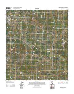
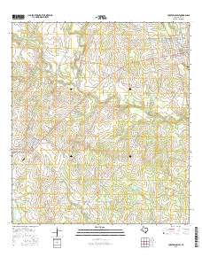
 2010 Yorktown West2010 Print · USGSCovers Yorktown, including Nordheim, Cotton Patch, and other nearby areas
 - 2010 Map of Yorktown East, 2010 Print
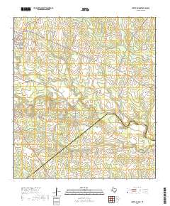
 2010 Yorktown East2010 Print · USGSCovers Yorktown, including DeWitt County, Goliad County, and other nearby areas
 - 2013 Map of Yorktown West, 2013 Print
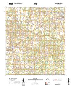
 2013 Yorktown West2013 Print · USGSCovers Yorktown, including Nordheim, Cotton Patch, and other nearby areas
 - 2013 Map of Yorktown East, 2013 Print
 2013 Yorktown East2013 Print · USGSCovers Yorktown, including DeWitt County, Goliad County, and other nearby areas
 - 2016 Map of Yorktown East, 2016 Print
 2016 Yorktown East2016 Print · USGSCovers Yorktown, including DeWitt County, Goliad County, and other nearby areas
 - 2016 Map of Yorktown West, 2016 Print
 2016 Yorktown West2016 Print · USGSCovers Yorktown, including Nordheim, Cotton Patch, and other nearby areas
 - 2019 Map of Yorktown West, 2019 Print
 2019 Yorktown West2019 Print · USGSCovers Yorktown, including Nordheim, Cotton Patch, and other nearby areas
 - 2019 Map of Yorktown East, 2019 Print
 2019 Yorktown East2019 Print · USGSCovers Yorktown, including DeWitt County, Goliad County, and other nearby areas
 - 2022 Map of Yorktown East, 2022 Print
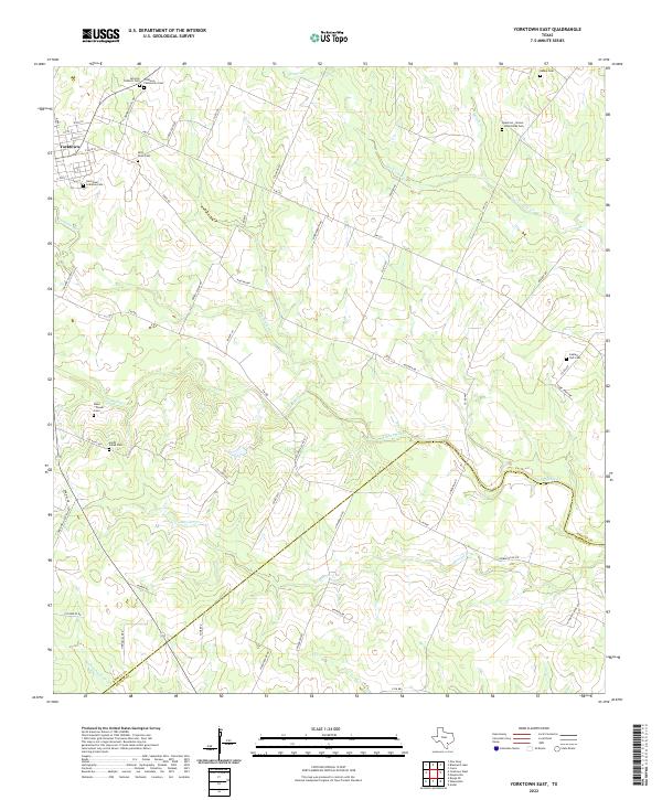 2022 Yorktown East2022 Print · USGSDeWitt County in the early twenty-first century maintains a landscape deeply tied to its pioneer history and family lineages. Genealogists can trace local heritage through numerous burial sites like San Luis Catholic Cem and the Captain York Cem.
 - 2022 Map of Yorktown West, 2022 Print
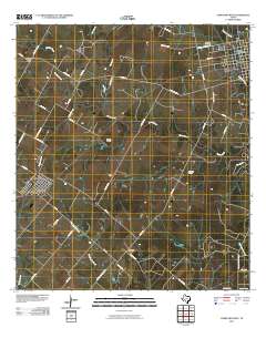
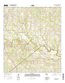
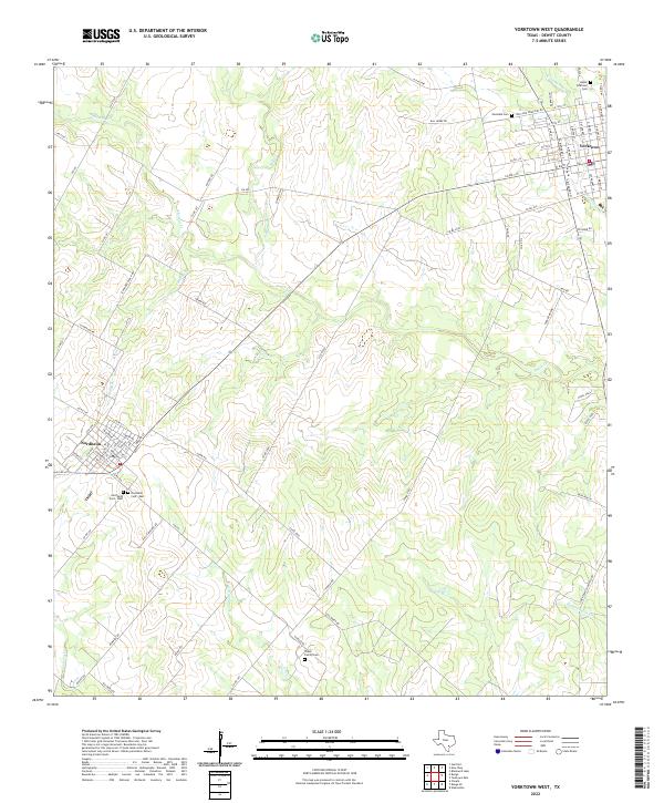 2022 Yorktown West2022 Print · USGSThe ranchlands of DeWitt County are documented in this recent survey, capturing the enduring rural character between Yorktown and Nordheim. Genealogists can locate family landmarks like the Taylor Family Cem and the Upper Yorktown Cem among the winding branches of Smith Cr.
End of results
Showing maps 1-16 of 16
Top cities near Yorktown
Frequently asked questions
- What are the different types of historical maps available for Yorktown?
- What is the oldest map of Yorktown?
- Where can I purchase historical maps of Yorktown for my home or office?
- Where can I download high-res historical maps of Yorktown?
- Are there historical topographic maps available for Yorktown?
- Is there historical aerial imagery available for Yorktown?
- Where are historical maps of Yorktown sourced from?