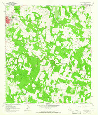
1963 Map of Yorktown East
USGS Topo · Published 1965About this map
The Southern Pacific railroad corridor anchors the western edge of this DeWitt County landscape, passing through Yorktown as the primary industrial artery. This early 1960s survey captures a rural Texas economy transitioning from traditional farming to energy extraction, evidenced by the development of the Yorktown Gas Field, the Holly Oil Field, and the Brandt Oil Field. A series of creeks, including Twelvemile Creek, Yorktown Creek, and Hoosier Creek, drain the territory, carving a pattern of wooded breaks through the cultivated fields.
Find a feature on this map
27 named features on this map. Tap any name to fly to it.
Don’t see what you’re looking for? This feature index may not catch every label — zoom into the map to look around manually.
Map Details
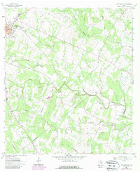
Editions of this 1963 Yorktown East Map
2 editions found
Other maps of this area

1920 · Smiley
USGS Topo · 1:125,000

1953 · Beeville
USGS Topo · 1:250,000

1953 · Seguin
USGS Topo · 1:250,000

1956 · Beeville
USGS Topo · 1:250,000

1958 · Seguin
USGS Topo · 1:250,000

1960 · Beeville
USGS Topo · 1:250,000

1960 · Cuero
USGS Topo · 1:24,000

1960 · Blackwell Lake
USGS Topo · 1:24,000

1961 · New Davy
USGS Topo · 1:24,000

1963 · Meyersville
USGS Topo · 1:24,000