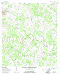
1963 Map of Yorktown East
USGS Topo · Published 1987About this map
Yorktown anchors this DeWitt County landscape during a period of steady petroleum and gas extraction. The town's religious and educational foundations are visible through sites like Holy Cross Sch and St Pauls Cath, while the surrounding countryside is marked by numerous family and community landmarks such as Rabke Cem and the Captain York Cem. The terrain is defined by a dense network of drainages including Twelvemile Creek, Fifteenmile Creek, and Hoosier Creek, which wind through the extensive Yorktown Gas Field and Holly Oil Field. An Old Railroad Grade cutting across the northwest corner suggests the shift in transportation infrastructure as the local economy transitioned toward energy production in the Henze Field and Brandt Oil Field.
Find a feature on this map
32 named features on this map. Tap any name to fly to it.
Don’t see what you’re looking for? This feature index may not catch every label — zoom into the map to look around manually.
Map Details
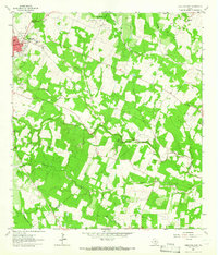
Editions of this 1963 Yorktown East Map
2 editions found
Other maps of this area

1920 · Smiley
USGS Topo · 1:125,000

1953 · Beeville
USGS Topo · 1:250,000

1953 · Seguin
USGS Topo · 1:250,000

1956 · Beeville
USGS Topo · 1:250,000

1958 · Seguin
USGS Topo · 1:250,000

1960 · Beeville
USGS Topo · 1:250,000

1960 · Cuero
USGS Topo · 1:24,000

1960 · Blackwell Lake
USGS Topo · 1:24,000

1961 · New Davy
USGS Topo · 1:24,000

1963 · Meyersville
USGS Topo · 1:24,000