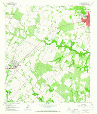
1963 Map of Yorktown West
USGS Topo · Published 1965About this map
The agrarian and industrial landscape of DeWitt County is defined here by the Southern Pacific railroad corridor, which links the settled centers of Yorktown and Nordheim. In the early 1960s, this region was a busy hub of energy extraction, evidenced by the extensive development of Roeder Field, Dilworth Field, and the Nordheim Gas Field. These fields are interspersed with local landmarks like Cotton Patch and the Westside Cemetery, showing how the oil and gas economy integrated with established rural communities.
Find a feature on this map
29 named features on this map. Tap any name to fly to it.
Don’t see what you’re looking for? This feature index may not catch every label — zoom into the map to look around manually.
Map Details
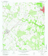
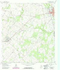
Editions of this 1963 Yorktown West Map
Other maps of this area

1920 · Smiley
USGS Topo · 1:125,000

1953 · Beeville
USGS Topo · 1:250,000

1953 · Seguin
USGS Topo · 1:250,000

1956 · Beeville
USGS Topo · 1:250,000

1958 · Seguin
USGS Topo · 1:250,000

1960 · Beeville
USGS Topo · 1:250,000

1960 · Blackwell Lake
USGS Topo · 1:24,000

1961 · New Davy
USGS Topo · 1:24,000
1963 · Choate
USGS Topo · 1:24,000

1963 · Weesatche
USGS Topo · 1:24,000