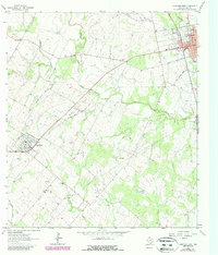
1963 Map of Yorktown West
USGS Topo · Published 1987About this map
Yorktown and Nordheim anchor this landscape during a period of transition for the DeWitt County countryside. The area is characterized by an extensive network of petroleum and gas production, including the Roeder Oil Field, the Christmas Oil Field, and the Henze Gas Field, alongside traditional ranching and farming lands. An Old Railroad Grade suggests the evolution of local transportation, cutting a diagonal path through the terrain toward the settlement at Nordheim. Local life centers around rural institutions like the High School in Yorktown and the Westside Cemetery on the town's western edge. The drainage patterns of Manahuilla Creek and Cabeza Creek define the southern reaches of the map, while small pockets of industry are evidenced by various Gravel Pits and a rural Landing Strip, providing a clear look at the mid-century infrastructure of this South Texas region.
Find a feature on this map
27 named features on this map. Tap any name to fly to it.
Don’t see what you’re looking for? This feature index may not catch every label — zoom into the map to look around manually.
Map Details
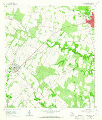
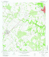
Editions of this 1963 Yorktown West Map
Other maps of this area

1920 · Smiley
USGS Topo · 1:125,000

1953 · Beeville
USGS Topo · 1:250,000

1953 · Seguin
USGS Topo · 1:250,000

1956 · Beeville
USGS Topo · 1:250,000

1958 · Seguin
USGS Topo · 1:250,000

1960 · Beeville
USGS Topo · 1:250,000

1960 · Blackwell Lake
USGS Topo · 1:24,000

1961 · New Davy
USGS Topo · 1:24,000
1963 · Choate
USGS Topo · 1:24,000

1963 · Weesatche
USGS Topo · 1:24,000