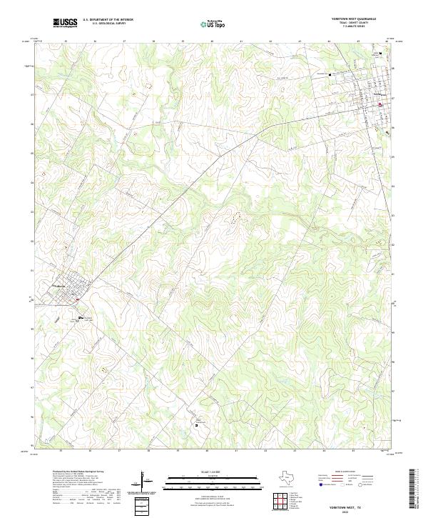
2022 Map of Yorktown West
USGS Topo · Published 2022About this map
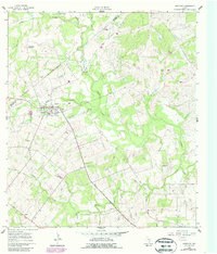
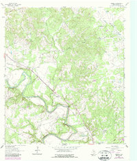
The agrarian landscape of DeWitt County unfolds across this modern topographic survey, centered on the historic settlements of Yorktown and Nordheim. The area is defined by a dense network of seasonal drainages and creeks, including Manahuilla Cr, Eighteenmile Cr, and Salt Cr, which carve through the south Texas countryside. These watercourses historically dictated the placement of ranch roads and early farmsteads in the region.
Find a feature on this map
94 named features on this map. Tap any name to fly to it.
Don’t see what you’re looking for? This feature index may not catch every label — zoom into the map to look around manually.
Map Details
Editions of this 2022 Yorktown West Map
This is the sole edition of this map. No revisions or reprints were ever made.
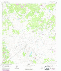
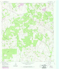
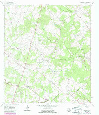
Historical Maps of Yorktown Through Time
26 maps found
1959 Hochheim
DeWitt County, TX
1960 Blackwell Lake
DeWitt County, TX
1960 Concrete
DeWitt County, TX
1960 Westhoff
DeWitt County, TX
1961 New Davy
DeWitt County, TX
1962 Edgar
DeWitt County, TX
1962 Terryville
DeWitt County, TX
1962 Verhelle
DeWitt County, TX
1963 Fordtran
DeWitt County, TX
1963 Garfield
DeWitt County, TX
1963 Meyersville
DeWitt County, TX
1963 Yorktown East
DeWitt County, TX
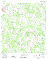
1963 Yorktown West
DeWitt County, TX
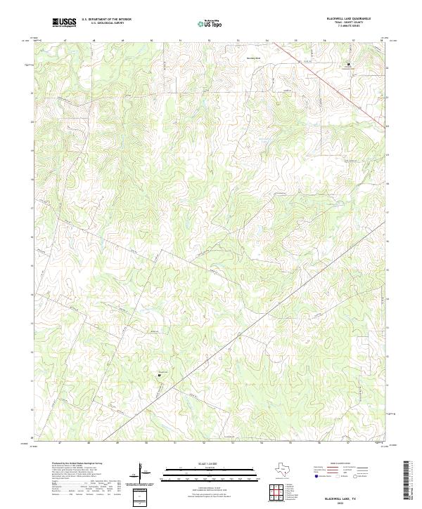
2022 Blackwell Lake
DeWitt County, TX
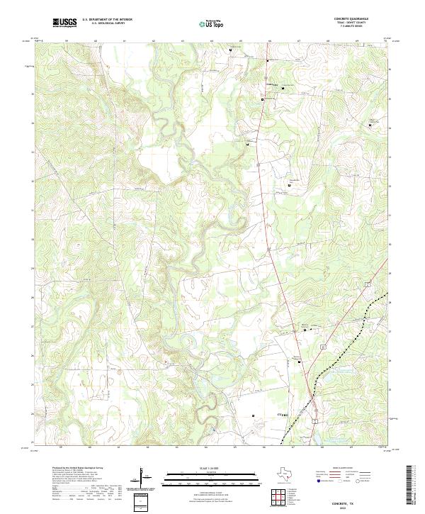
2022 Concrete
DeWitt County, TX
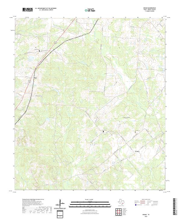
2022 Edgar
DeWitt County, TX
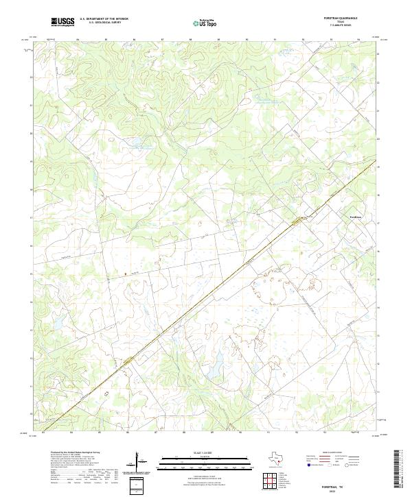
2022 Fordtran
DeWitt County, TX
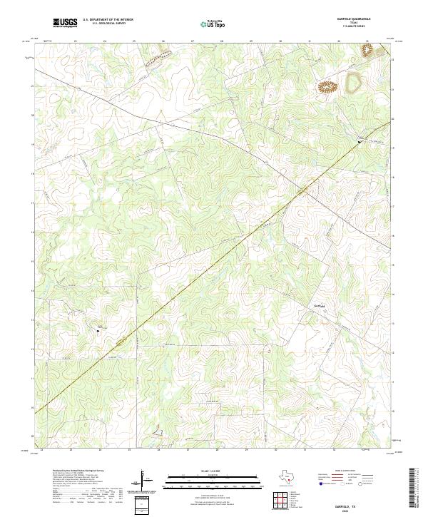
2022 Garfield
DeWitt County, TX
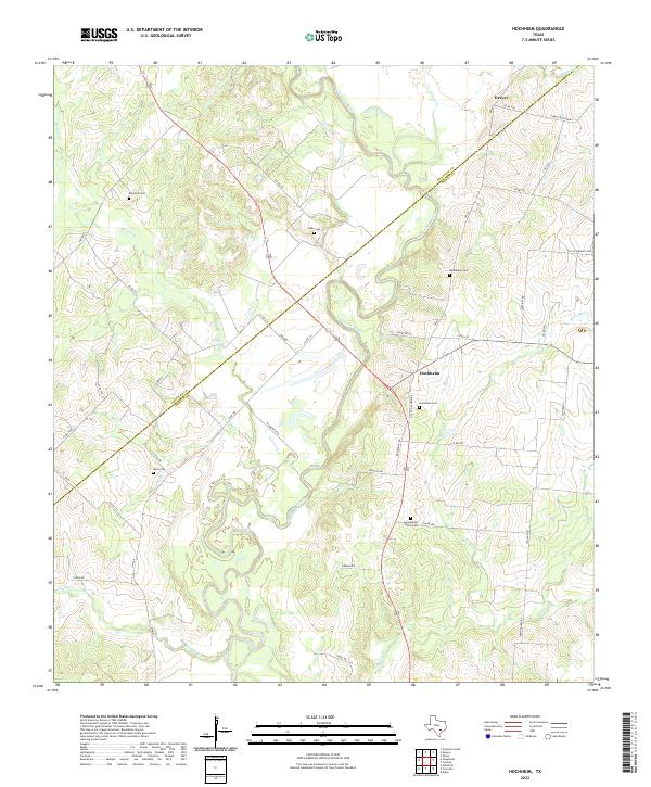
2022 Hochheim
DeWitt County, TX
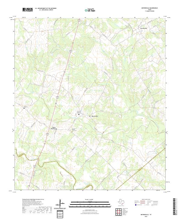
2022 Meyersville
DeWitt County, TX
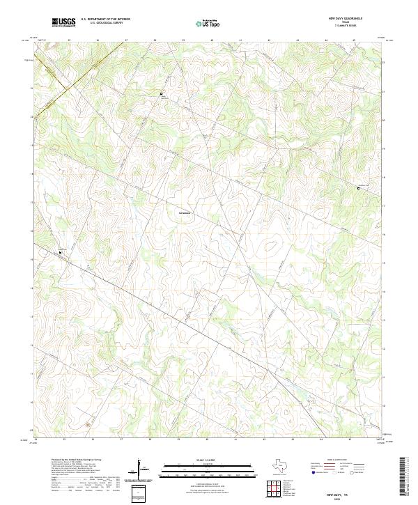
2022 New Davy
DeWitt County, TX
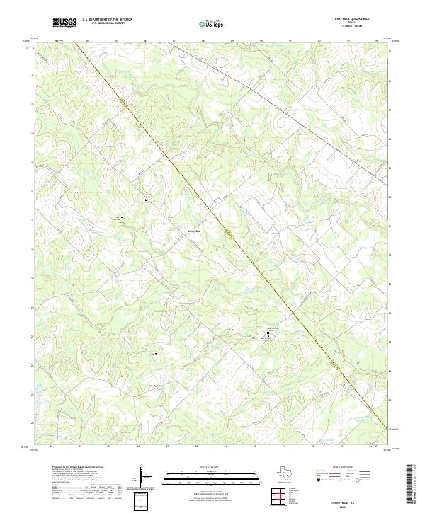
2022 Terryville
DeWitt County, TX
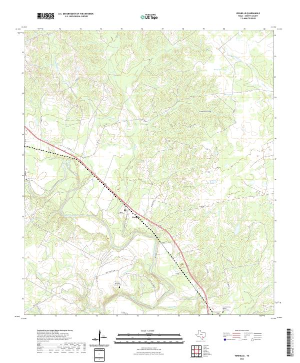
2022 Verhelle
DeWitt County, TX
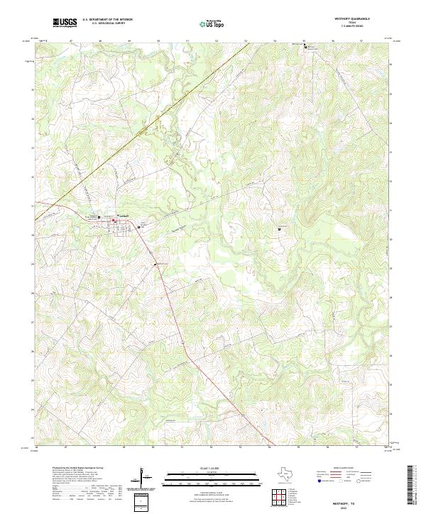
2022 Westhoff
DeWitt County, TX
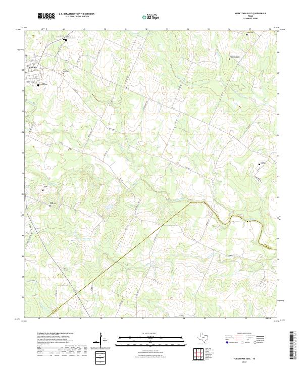
2022 Yorktown East
DeWitt County, TX
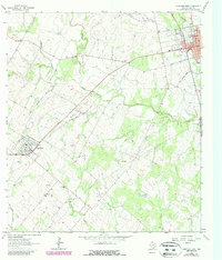
2022 Yorktown West
DeWitt County, TX