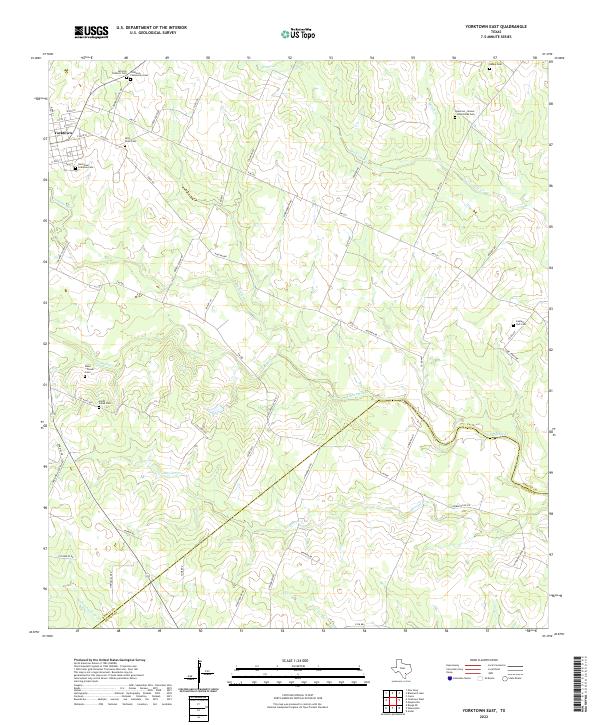
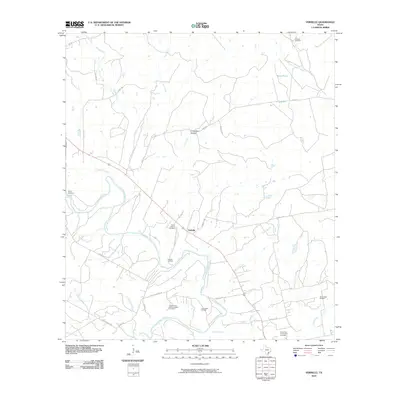
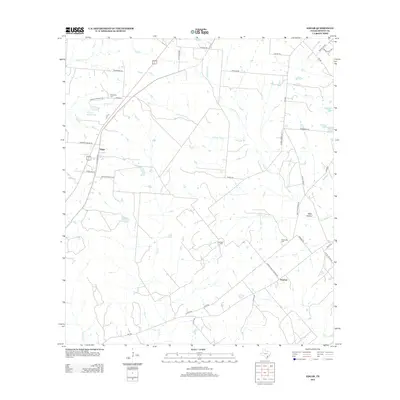
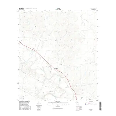
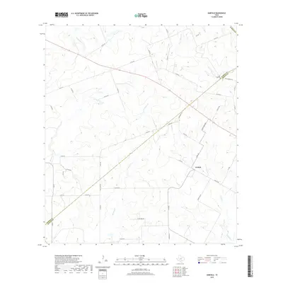
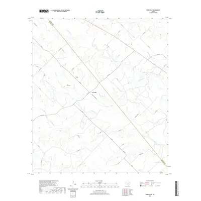
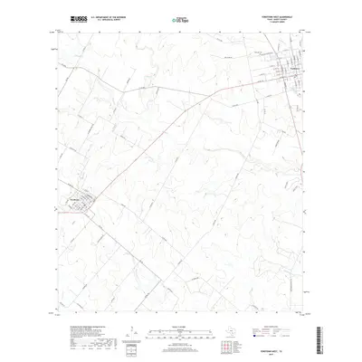
2022 Map of Yorktown East
USGS Topo · Published 2022About this map
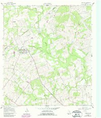
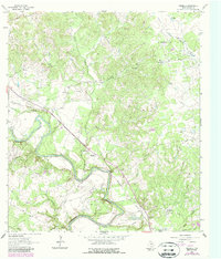
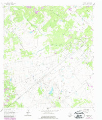
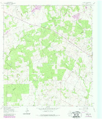
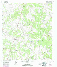
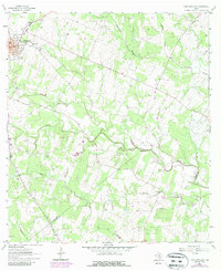
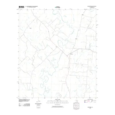
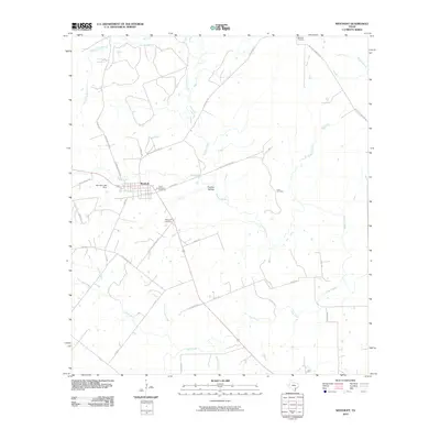
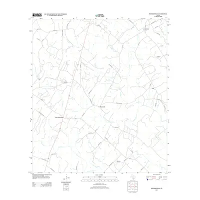
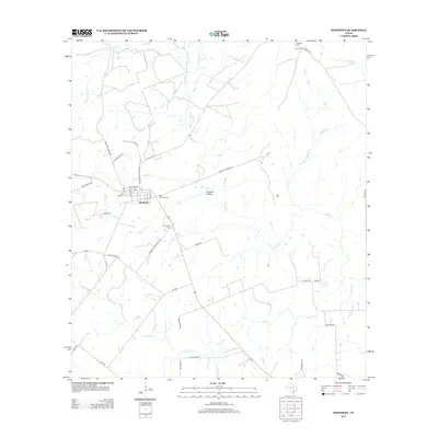
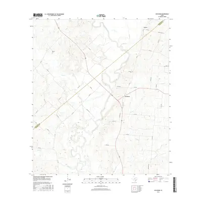
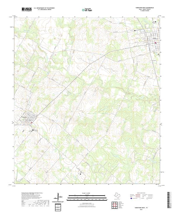
Yorktown serves as the focal point of this South Texas landscape, where the town's grid meets a network of country roads like Old 237 and Community Hall Rd. The area is remarkably dense with family and denominational burial grounds, reflecting the deep genealogical roots of the DeWitt County community. From the San Luis Catholic Cem and Yorktown Community Cem near the town center to the more isolated Epperson - Brown - Jonischkies Cem and Captain York Cem to the east, these sites provide a vital record of early settlement patterns. The terrain is defined by a series of parallel drainage systems, including Twelvemile Cr, Fifteenmile Cr, and Eighteenmile Cr, which flow southeast toward the DeWitt and Goliad County line. This hydrologic network historically dictated the placement of homesteads and small family cemeteries like the Menn - Treude Cem.
Find a feature on this map
67 named features on this map. Tap any name to fly to it.
Don’t see what you’re looking for? This feature index may not catch every label — zoom into the map to look around manually.
Map Details
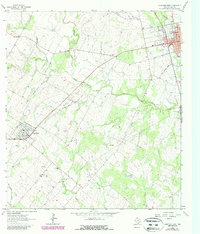
Editions of this 2022 Yorktown East Map
This is the sole edition of this map. No revisions or reprints were ever made.
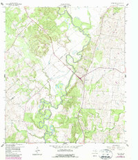
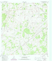
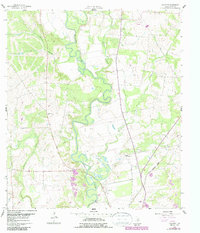
Historical Maps of Yorktown Through Time
78 maps found
1959 Hochheim
DeWitt County, TX
1960 Blackwell Lake
DeWitt County, TX
1960 Concrete
DeWitt County, TX
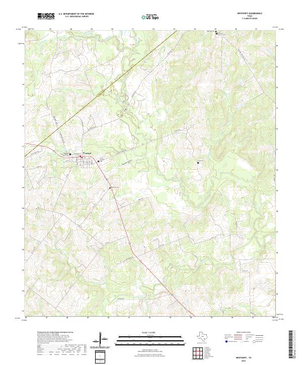
1960 Westhoff
DeWitt County, TX
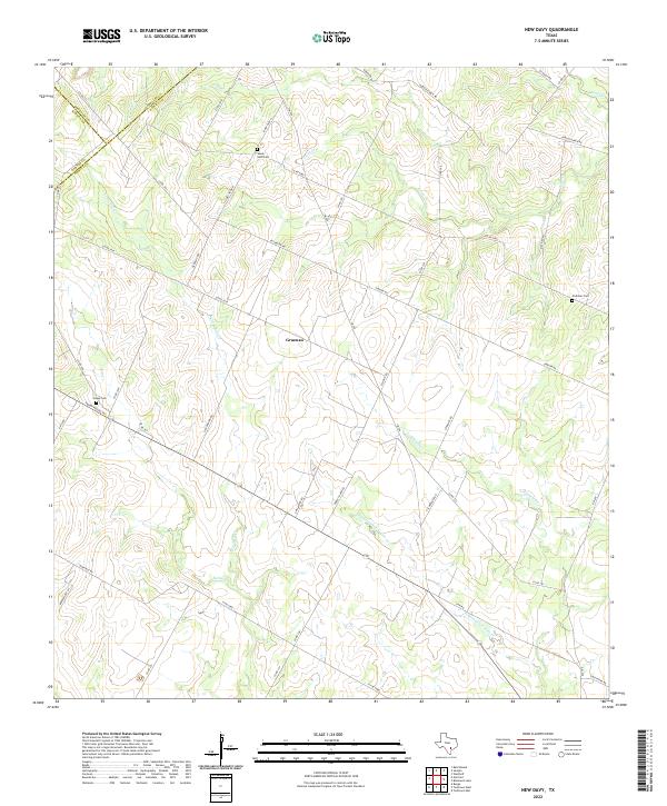
1961 New Davy
DeWitt County, TX
1962 Edgar
DeWitt County, TX
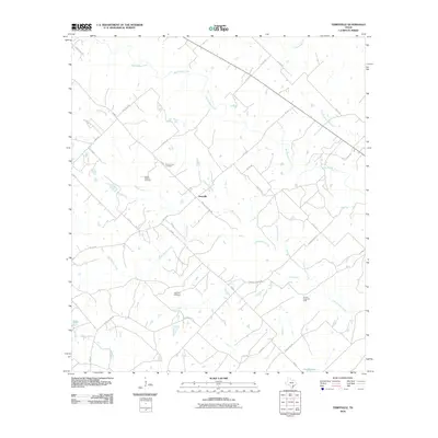
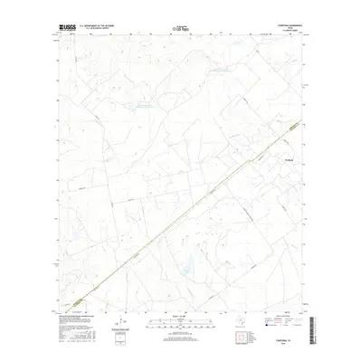
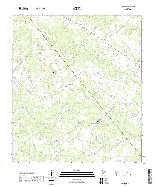
1962 Terryville
DeWitt County, TX
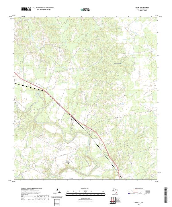
1962 Verhelle
DeWitt County, TX
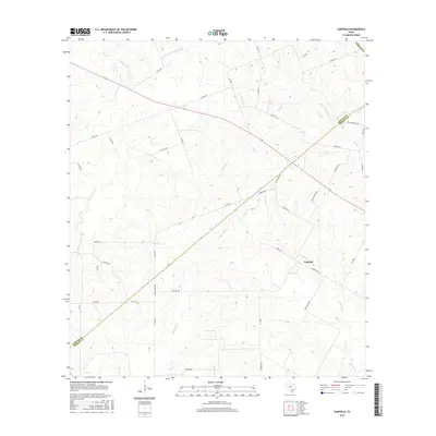
1963 Fordtran
DeWitt County, TX
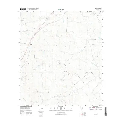
1963 Garfield
DeWitt County, TX
1963 Meyersville
DeWitt County, TX
1963 Yorktown East
DeWitt County, TX
1963 Yorktown West
DeWitt County, TX
2010 Blackwell Lake
DeWitt County, TX
2010 Concrete
DeWitt County, TX
2010 Edgar
DeWitt County, TX
2010 Fordtran
DeWitt County, TX
2010 Garfield
DeWitt County, TX
2010 Hochheim
DeWitt County, TX
2010 Meyersville
DeWitt County, TX
2010 New Davy
DeWitt County, TX
2010 Terryville
DeWitt County, TX
2010 Verhelle
DeWitt County, TX
2010 Westhoff
DeWitt County, TX
2010 Yorktown East
DeWitt County, TX
2010 Yorktown West
DeWitt County, TX

2013 Blackwell Lake
DeWitt County, TX
2013 Concrete
DeWitt County, TX
2013 Edgar
DeWitt County, TX
2013 Fordtran
DeWitt County, TX
2013 Garfield
DeWitt County, TX
2013 Hochheim
DeWitt County, TX
2013 Meyersville
DeWitt County, TX
2013 New Davy
DeWitt County, TX
2013 Terryville
DeWitt County, TX
2013 Verhelle
DeWitt County, TX
2013 Westhoff
DeWitt County, TX
2013 Yorktown East
DeWitt County, TX
2013 Yorktown West
DeWitt County, TX
2016 Blackwell Lake
DeWitt County, TX
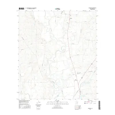
2016 Concrete
DeWitt County, TX
2016 Edgar
DeWitt County, TX
2016 Fordtran
DeWitt County, TX
2016 Garfield
DeWitt County, TX
2016 Hochheim
DeWitt County, TX
2016 Meyersville
DeWitt County, TX
2016 New Davy
DeWitt County, TX
2016 Terryville
DeWitt County, TX
2016 Verhelle
DeWitt County, TX
2016 Westhoff
DeWitt County, TX
2016 Yorktown East
DeWitt County, TX
2016 Yorktown West
DeWitt County, TX
2019 Blackwell Lake
DeWitt County, TX
2019 Concrete
DeWitt County, TX
2019 Edgar
DeWitt County, TX
2019 Fordtran
DeWitt County, TX
2019 Garfield
DeWitt County, TX
2019 Hochheim
DeWitt County, TX
2019 Meyersville
DeWitt County, TX
2019 New Davy
DeWitt County, TX
2019 Terryville
DeWitt County, TX
2019 Verhelle
DeWitt County, TX
2019 Westhoff
DeWitt County, TX
2019 Yorktown East
DeWitt County, TX
2019 Yorktown West
DeWitt County, TX
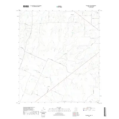
2022 Blackwell Lake
DeWitt County, TX
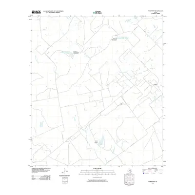
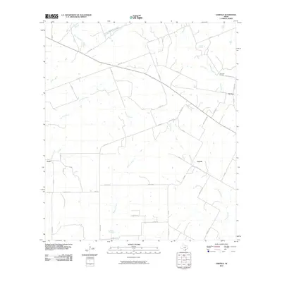
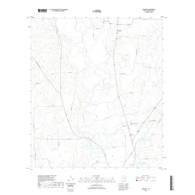
2022 Concrete
DeWitt County, TX
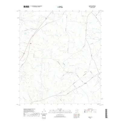
2022 Edgar
DeWitt County, TX
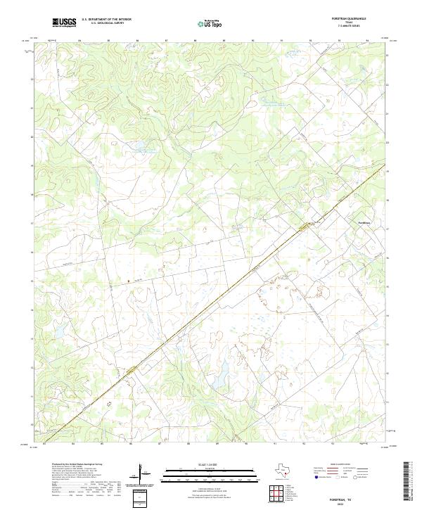
2022 Fordtran
DeWitt County, TX
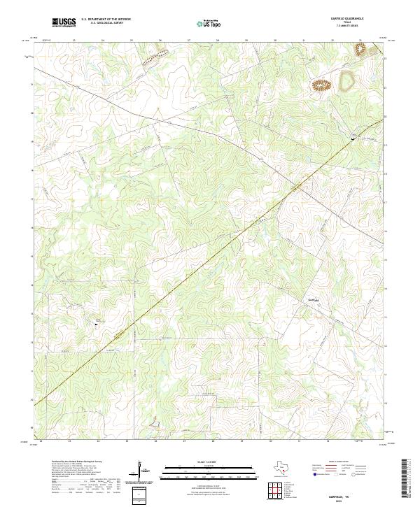
2022 Garfield
DeWitt County, TX
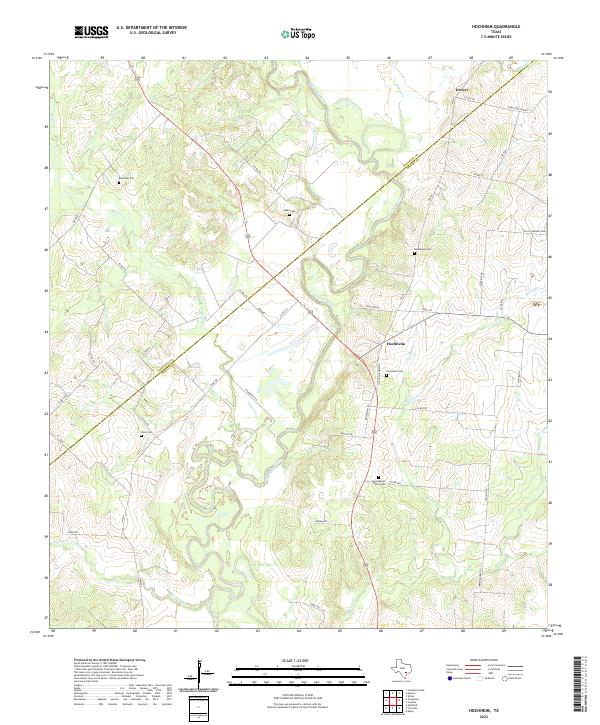
2022 Hochheim
DeWitt County, TX
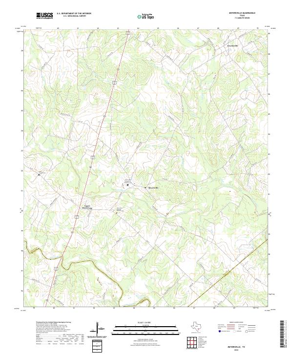
2022 Meyersville
DeWitt County, TX
2022 New Davy
DeWitt County, TX
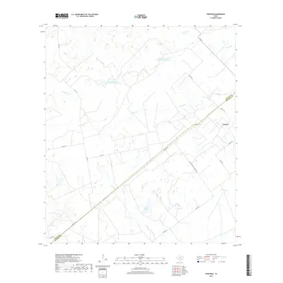
2022 Terryville
DeWitt County, TX
2022 Verhelle
DeWitt County, TX
2022 Westhoff
DeWitt County, TX
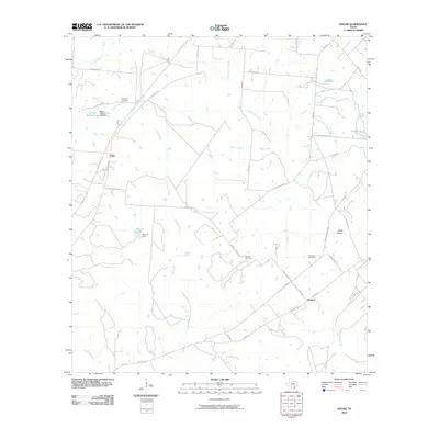
2022 Yorktown East
DeWitt County, TX
2022 Yorktown West
DeWitt County, TX