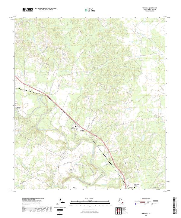
2022 Map of Verhelle
USGS Topo · Published 2022About this map
The Guadalupe River meanders through this DeWitt County landscape, shaping a terrain defined by creek drainages and agricultural land. The small community of Verhelle sits at a central crossroads, while the settlement of Thomaston is located near the southern margin. Local history is deeply etched into the land through several cemeteries that serve as anchors for genealogical research, including Burns Station Cem and the Ponteon San Isidro Labrador Cem.
Find a feature on this map
47 named features on this map. Tap any name to fly to it.
Don’t see what you’re looking for? This feature index may not catch every label — zoom into the map to look around manually.
Map Details
Editions of this 2022 Verhelle Map
This is the sole edition of this map. No revisions or reprints were ever made.
Other maps of this area

1953 · Beeville
USGS Topo · 1:250,000

1953 · Seguin
USGS Topo · 1:250,000

1956 · Beeville
USGS Topo · 1:250,000

1958 · Seguin
USGS Topo · 1:250,000

1960 · Beeville
USGS Topo · 1:250,000

1960 · Cuero
USGS Topo · 1:24,000

1960 · Concrete
USGS Topo · 1:24,000

1962 · Verhelle
USGS Topo · 1:24,000

1962 · Edgar
USGS Topo · 1:24,000

1962 · Terryville
USGS Topo · 1:24,000