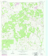
1963 Map of Garfield
USGS Topo · Published 1987About this map
Garfield and the neighboring settlement of Old Davy anchor this survey of the South Texas brush country at the border of DeWitt and Karnes Counties. The landscape is defined by an intricate network of seasonal drainage, with Salt Creek and Ecleto Creek winding through the terrain alongside lesser-known courses like McTennel Creek and Thomas Creek. The map records a rural economy centered on resource extraction and cattle ranching, marked by several Gravel Pits and scattered Gas Wells that interrupt the woodland and pasture. A significant genealogical marker is found at Salt Creek Cem, located in the northeastern quadrant. The presence of an Indefinite Boundary between the two counties suggests the historical complexity of land surveying in this portion of the coastal plains during the early 1960s.
Find a feature on this map
17 named features on this map. Tap any name to fly to it.
Don’t see what you’re looking for? This feature index may not catch every label — zoom into the map to look around manually.
Map Details
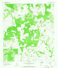
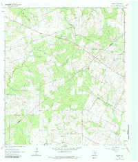
Editions of this 1963 Garfield Map
3 editions found
Other maps of this area

1920 · Smiley
USGS Topo · 1:125,000

1953 · Beeville
USGS Topo · 1:250,000

1953 · Seguin
USGS Topo · 1:250,000

1956 · Beeville
USGS Topo · 1:250,000

1956 · Karnes City
USGS Topo · 1:62,500

1958 · Seguin
USGS Topo · 1:250,000

1960 · Beeville
USGS Topo · 1:250,000

1960 · Helena
USGS Topo · 1:24,000

1961 · Sample
USGS Topo · 1:24,000

1961 · New Davy
USGS Topo · 1:24,000