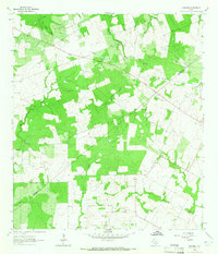
1963 Map of Garfield
USGS Topo · Published 1965About this map
Garfield and the settlement of Old Davy anchor this rural landscape along the Karnes Co De Witt Co line during the early 1960s. The terrain is defined by an intricate network of waterways, including Brushy Creek, Salt Creek, and the winding path of Mound Creek to the north. These drainages carve through a mosaic of wooded patches and open fields, illustrating the agricultural and ranching character of the region during this era.
Find a feature on this map
16 named features on this map. Tap any name to fly to it.
Don’t see what you’re looking for? This feature index may not catch every label — zoom into the map to look around manually.
Map Details
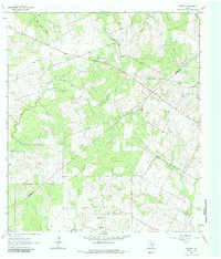
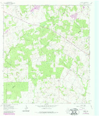
Editions of this 1963 Garfield Map
3 editions found
Other maps of this area

1920 · Smiley
USGS Topo · 1:125,000

1953 · Beeville
USGS Topo · 1:250,000

1953 · Seguin
USGS Topo · 1:250,000

1956 · Beeville
USGS Topo · 1:250,000

1956 · Karnes City
USGS Topo · 1:62,500

1958 · Seguin
USGS Topo · 1:250,000

1960 · Beeville
USGS Topo · 1:250,000

1960 · Helena
USGS Topo · 1:24,000

1961 · Sample
USGS Topo · 1:24,000

1961 · New Davy
USGS Topo · 1:24,000