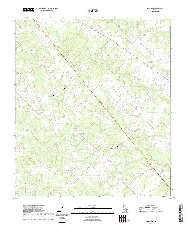
2022 Map of Terryville
USGS Topo · Published 2022About this map
Terryville sits at the heart of this rural landscape, straddling the boundary of Lavaca and DeWitt counties. The area is defined by a dense network of intermittent watercourses, including Big Brushy Cr and Little Brushy Cr, which drain the undulating terrain. The settlement pattern is characterized by scattered family homesteads and local infrastructure linked by roads like FM 682 and Terryville Church Rd.
Find a feature on this map
44 named features on this map. Tap any name to fly to it.
Don’t see what you’re looking for? This feature index may not catch every label — zoom into the map to look around manually.
Map Details
Editions of this 2022 Terryville Map
This is the sole edition of this map. No revisions or reprints were ever made.
Other maps of this area

1953 · Seguin
USGS Topo · 1:250,000

1958 · Seguin
USGS Topo · 1:250,000

1962 · Verhelle
USGS Topo · 1:24,000

1962 · Edgar
USGS Topo · 1:24,000

1962 · Terryville
USGS Topo · 1:24,000

1963 · Yoakum
USGS Topo · 1:24,000

1963 · Fordtran
USGS Topo · 1:24,000

1963 · Sweet Home
USGS Topo · 1:24,000

1964 · Ezzell
USGS Topo · 1:24,000

1965 · Hope
USGS Topo · 1:24,000