Old Maps of Yarbrough & Allen Oil Field, Texas for Academic Research
Study the evolution of Yarbrough & Allen Oil Field with 15 high-resolution historic maps. Whether you're teaching, researching, or modeling changes in land use, these maps provide essential visual documentation of urban, environmental, and geographic change.
- Analyze long-term change: Track patterns in development, transportation, and natural features.
- Ideal for environmental or urban studies: Support academic projects with primary historical map data.
- Use in the classroom or lab: Educators and researchers rely on these maps to bring historical context to life.
These maps are a powerful tool for teaching, research, and visualizing how Yarbrough & Allen Oil Field has changed over the decades.
Yarbrough & Allen Oil Field, TX maps
(15)- 1954 Map of Pecos, 1964 Print
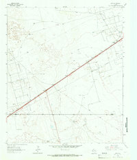
 1954 Pecos1964 Print · USGSMid-century West Texas reveals a landscape of expanding oil fields and cattle ranching along the winding Pecos River. Local historians can trace family ranch lands like Goodrich Ranch, follow the Texas and Pacific rails, or locate the historic Horsehead Crossing.3 unique versions available
 - 1957 Map of Pecos
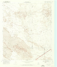
 1957 Pecos1957 Print · USGSWest Texas in the mid-fifties is a landscape of desert oil fields and vital rail corridors. Researchers can trace the sprawling Pyote Air Force Base, the historic Horsehead Crossing, and the rail stops at Mentone and Saragosa.
 - 1964 Map of Metz, 1967 Print
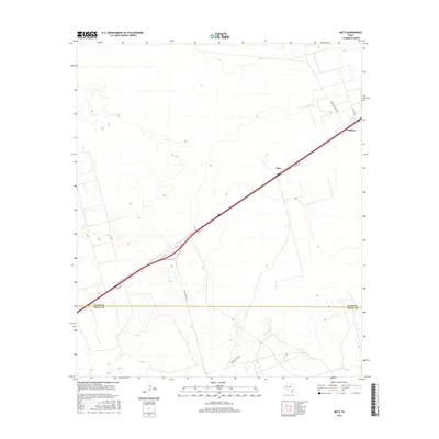
 1964 Metz1967 Print · USGSThe West Texas oil country of Ector and Crane counties is documented here during the mid-1960s. Genealogists and historians can trace the Texas and Pacific line through Metz and Judkins, or locate named water sources like the Old Headquarters Windmills.2 unique versions available
 - 1968 Map of Cowden Place, 1971 Print
 1968 Cowden Place1971 Print · USGSThe West Texas dunes and oil fields come into focus in the late sixties at the borders of Winkler, Ector, and Ward Counties. Researchers can trace the water and oil infrastructure of the era through sites like Cowden Place, Little Diamond Windmill, and Williams Ranch.
 - 1986 Map of Odessa
 1986 Odessa1986 Print · USGSThe Permian Basin’s oil-driven landscape is revealed in the mid-eighties, showing the sprawl of Odessa and Midland. Trace the growth of energy infrastructure at the South Cowden Oil Field or explore the unique Sand Dunes of Monahans Sand Hills State Park.2 unique versions available
 - 2010 Map of Cowden Place, 2010 Print
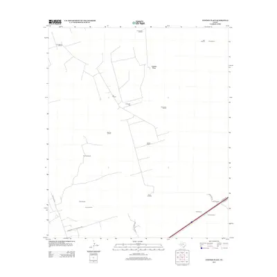
 2010 Cowden Place2010 Print · USGSCovers Yarbrough & Allen Oil Field, including Cowden Place, Ector County, and other nearby areas
 - 2010 Map of Metz, 2010 Print
 2010 Metz2010 Print · USGSCovers Yarbrough & Allen Oil Field, including Prairie Home, Ector County, and other nearby areas
 - 2012 Map of Cowden Place, 2012 Print
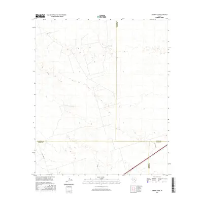
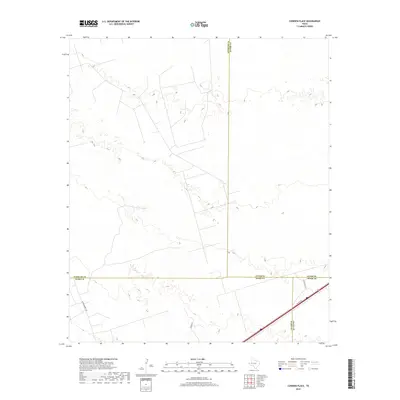
 2012 Cowden Place2012 Print · USGSCovers Yarbrough & Allen Oil Field, including Cowden Place, Ector County, and other nearby areas
 - 2013 Map of Metz, 2013 Print
 2013 Metz2013 Print · USGSCovers Yarbrough & Allen Oil Field, including Prairie Home, Ector County, and other nearby areas
 - 2016 Map of Metz, 2016 Print
 2016 Metz2016 Print · USGSCovers Yarbrough & Allen Oil Field, including Prairie Home, Ector County, and other nearby areas
 - 2016 Map of Cowden Place, 2016 Print
 2016 Cowden Place2016 Print · USGSCovers Yarbrough & Allen Oil Field, including Cowden Place, Ector County, and other nearby areas
 - 2019 Map of Metz, 2019 Print
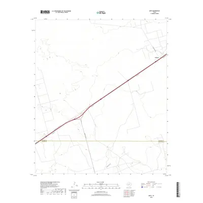 2019 Metz2019 Print · USGSCovers Yarbrough & Allen Oil Field, including Prairie Home, Ector County, and other nearby areas
 - 2019 Map of Cowden Place, 2019 Print
 2019 Cowden Place2019 Print · USGSCovers Yarbrough & Allen Oil Field, including Cowden Place, Ector County, and other nearby areas
 - 2022 Map of Cowden Place, 2022 Print
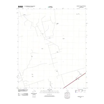
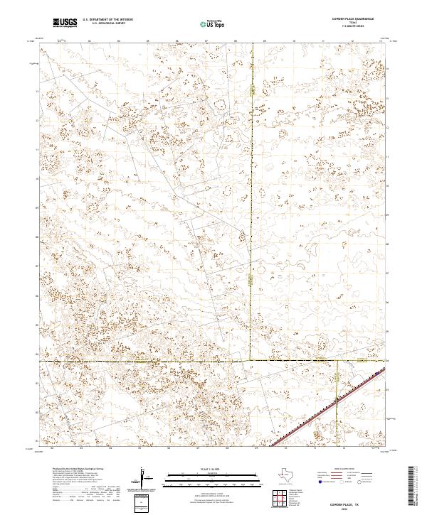 2022 Cowden Place2022 Print · USGSThe West Texas Permian Basin is captured here at the intersection of four counties during a period of modern energy development. Researchers can trace local infrastructure and property access via Park Rd 41, Glenn Allen Rd, and the footprint of Altura Energy Ltd.
 - 2022 Map of Metz, 2022 Print
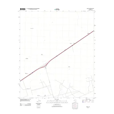
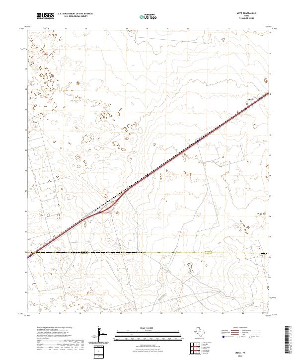 2022 Metz2022 Print · USGSThe West Texas plains at the turn of the decade show the essential transit links between Ector and Crane counties. Researchers can trace the layout of Judkins and the path of ranching roads like McKnight Rnch Rd and Ranch Rd 1053.
End of results
Showing maps 1-15 of 15
Top cities near Yarbrough & Allen Oil Field
Frequently asked questions
- What are the different types of historical maps available for Yarbrough & Allen Oil Field?
- What is the oldest map of Yarbrough & Allen Oil Field?
- Where can I purchase historical maps of Yarbrough & Allen Oil Field for my home or office?
- Where can I download high-res historical maps of Yarbrough & Allen Oil Field?
- Are there historical topographic maps available for Yarbrough & Allen Oil Field?
- Is there historical aerial imagery available for Yarbrough & Allen Oil Field?
- Where are historical maps of Yarbrough & Allen Oil Field sourced from?