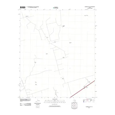
2010 Map of Cowden Place
USGS Topo · Published 2010About this map
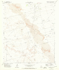
The Arenosa Oil Field and the surrounding ranching infrastructure of Winkler County define this part of the West Texas landscape. At the center of this 2010 survey is the Cowden Place, a key settlement node in an area characterized by scattered ranching and industrial activity. The map reveals a sophisticated network of named windmills that serve as vital landmarks and water sources across the arid terrain, including the Little Diamond Windmill, Jog Windmill, and New Flag Windmill.
Find a feature on this map
18 named features on this map. Tap any name to fly to it.
Don’t see what you’re looking for? This feature index may not catch every label — zoom into the map to look around manually.
Map Details
Editions of this 2010 Cowden Place Map
This is the sole edition of this map. No revisions or reprints were ever made.
Other maps of this area

1954 · Pecos
USGS Topo · 1:250,000

1957 · Pecos
USGS Topo · 1:250,000
1964 · Metz
USGS Topo · 1:24,000
1964 · Red Lakes
USGS Topo · 1:24,000
1964 · Penwell SW
USGS Topo · 1:24,000
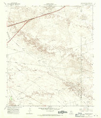
1968 · Monahans SE
USGS Topo · 1:24,000
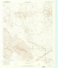
1968 · Cowden Place
USGS Topo · 1:24,000
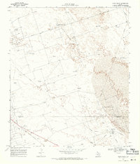
1968 · China Ranch
USGS Topo · 1:24,000
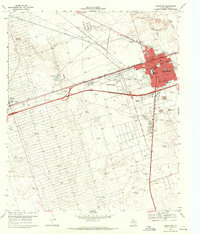
1969 · Monahans
USGS Topo · 1:24,000
1971 · Amburgey Ranch
USGS Topo · 1:24,000