2000s (21st Century) Maps of Garrett, Texas
Explore 10 historic maps of Garrett from the 2000s (21st Century). These maps offer a rare glimpse into what life looked like during the 2000s — showing old roads, neighborhoods, homes, and landmarks that have changed or disappeared over time.
Whether you're researching your family's past, planning a metal detecting trip, or studying how Garrett's landscape evolved across the 2000s, these high-resolution maps are a powerful tool for exploring the history of this region.
- Focus on a specific era: All maps on this page are from the 2000s, giving you a focused view of this time period.
- See what’s changed: Compare century-old streets, trails, and buildings to today's modern landscape using overlays and satellite layers.
- Research with precision: Use these maps for genealogy, historical research, land use analysis, or educational projects.
- View, download, or print: Maps are fully viewable online in high resolution, and can be downloaded or printed for your own records.
Start exploring Garrett's history through authentic maps from the 2000s. This is your window into the past.
Garrett, TX maps
(10)- 2010 Map of Ennis West, 2010 Print
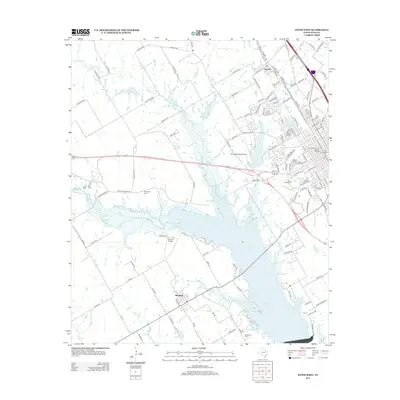
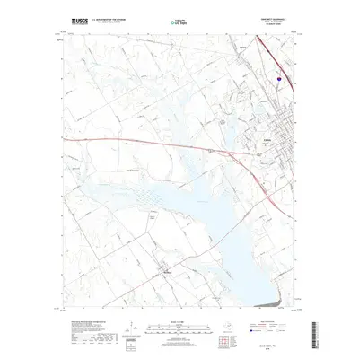
 2010 Ennis West2010 Print · USGSCovers Garrett, including Ennis, Bardwell, and other nearby areas
 - 2010 Map of Palmer, 2010 Print
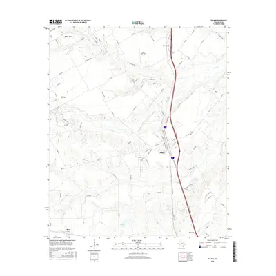
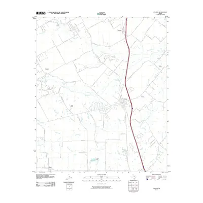 2010 Palmer2010 Print · USGSCovers Garrett, including Waxahachie, Ennis, and other nearby areas
 - 2012 Map of Palmer, 2012 Print
 2012 Palmer2012 Print · USGSCovers Garrett, including Waxahachie, Ennis, and other nearby areas
 - 2012 Map of Ennis West, 2012 Print
 2012 Ennis West2012 Print · USGSCovers Garrett, including Ennis, Bardwell, and other nearby areas
 - 2016 Map of Palmer, 2016 Print
 2016 Palmer2016 Print · USGSCovers Garrett, including Waxahachie, Ennis, and other nearby areas
 - 2016 Map of Ennis West, 2016 Print
 2016 Ennis West2016 Print · USGSCovers Garrett, including Ennis, Bardwell, and other nearby areas
 - 2019 Map of Palmer, 2019 Print
 2019 Palmer2019 Print · USGSCovers Garrett, including Waxahachie, Ennis, and other nearby areas
 - 2019 Map of Ennis West, 2019 Print
 2019 Ennis West2019 Print · USGSCovers Garrett, including Ennis, Bardwell, and other nearby areas
 - 2022 Map of Palmer, 2022 Print
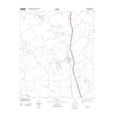
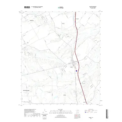
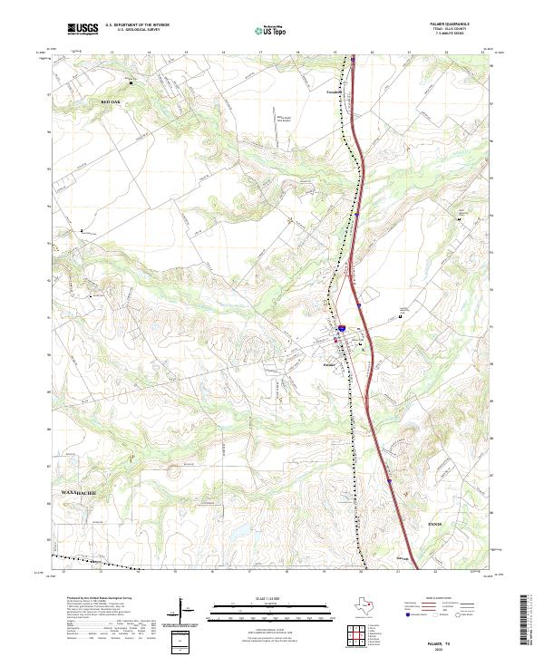 2022 Palmer2022 Print · USGSEllis County is documented here during a period of sustained growth along the Interstate 45 corridor south of Dallas. Local researchers can trace family lands near Palmer Cemetery or locate smaller rural junctions like Trumbull, Boyce, and Garrett.
 - 2022 Map of Ennis West, 2022 Print
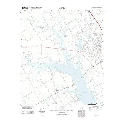
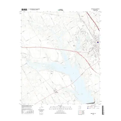
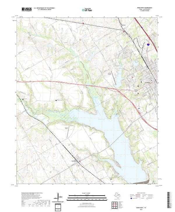 2022 Ennis West2022 Print · USGSModern-day Ellis County is defined here by the waters of Bardwell Lake and the growing city of Ennis. Genealogists can trace several local burial grounds including Saint Joseph Cem, Sanderson Cem, and Boren Cem.
End of results
Showing maps 1-10 of 10
Top cities near Garrett
- DeSoto historical maps
- De Soto historical maps
- Lancaster historical maps
- Waxahachie historical maps
- Ennis historical maps
- Combine historical maps
See more
Frequently asked questions
- What are the different types of historical maps available for Garrett?
- What is the oldest map of Garrett?
- Where can I purchase historical maps of Garrett for my home or office?
- Where can I download high-res historical maps of Garrett?
- Are there historical topographic maps available for Garrett?
- Is there historical aerial imagery available for Garrett?
- Where are historical maps of Garrett sourced from?