2000s (21st Century) Maps of Rosenberg, Texas
Explore 25 historic maps of Rosenberg from the 2000s (21st Century). These maps offer a rare glimpse into what life looked like during the 2000s — showing old roads, neighborhoods, homes, and landmarks that have changed or disappeared over time.
Whether you're researching your family's past, planning a metal detecting trip, or studying how Rosenberg's landscape evolved across the 2000s, these high-resolution maps are a powerful tool for exploring the history of this region.
- Focus on a specific era: All maps on this page are from the 2000s, giving you a focused view of this time period.
- See what’s changed: Compare century-old streets, trails, and buildings to today's modern landscape using overlays and satellite layers.
- Research with precision: Use these maps for genealogy, historical research, land use analysis, or educational projects.
- View, download, or print: Maps are fully viewable online in high resolution, and can be downloaded or printed for your own records.
Start exploring Rosenberg's history through authentic maps from the 2000s. This is your window into the past.
Rosenberg, TX maps
(25)- 2010 Map of Kendleton, 2010 Print
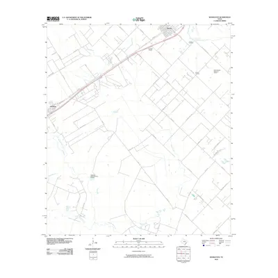 2010 Kendleton2010 Print · USGSFort Bend County's coastal prairie comes into focus in this 2010 survey of the Beasley and Kendleton area. Genealogists and local researchers can locate Friedens Cemetery and Modena Cemetery or trace the banks of the San Bernard River.
 - 2010 Map of Richmond, 2010 Print
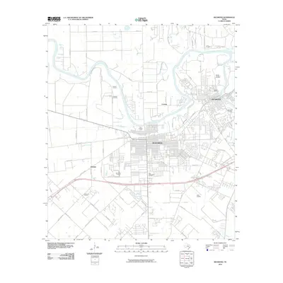 2010 Richmond2010 Print · USGSThe Brazos River landscape at the start of the 2010s shows the rapid integration of agricultural land into the residential fabrics of Richmond and Rosenberg. Researchers can trace local heritage through numerous sites like Morton Cemetery or find early aviation history at Lane Airpark.
 - 2010 Map of Sugar Land, 2010 Print
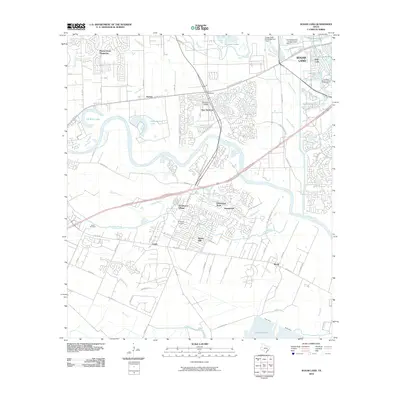 2010 Sugar Land2010 Print · USGSFort Bend County's rapid suburban growth meets its agricultural past in the first decade of the millennium. Genealogists and local historians can trace family landmarks at Jones Cemetery, the historic community of Booth, and Thompson Chapel.
 - 2010 Map of Needville, 2010 Print
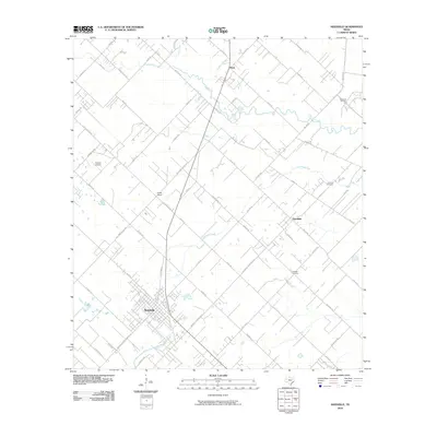 2010 Needville2010 Print · USGSFort Bend County in the early twenty-first century shows a landscape where rural tradition and oil industry meet. Trace family history at Concord Cemetery or study the legacy of the Big Creek Oil Field and the layout of Needville.
 - 2010 Map of Orchard, 2010 Print
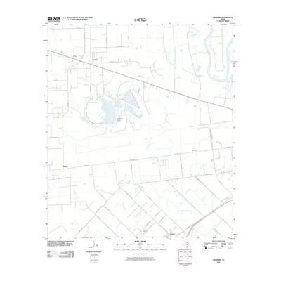 2010 Orchard2010 Print · USGSThe Texas coastal plain around Orchard is shown here in the early 2000s, where energy production meets rural agriculture. Researchers can trace the industrial Orchard Dome Oil and Gas Field, locate Orchard Cemetery, and follow the banks of the Brazos River.
 - 2013 Map of Kendleton, 2013 Print
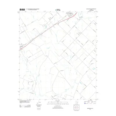 2013 Kendleton2013 Print · USGSIn the river-bottom lands of Fort Bend County, this 2013 survey captures the rural character and expanding infrastructure near the San Bernard River. Researchers can trace local heritage at Friedens Cemetery and Modena Cemetery or follow the grids of Beasley and Kendleton.
 - 2013 Map of Needville, 2013 Print
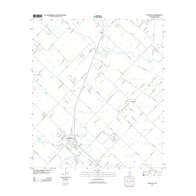 2013 Needville2013 Print · USGSFort Bend County's coastal prairie comes into focus in this early twenty-first century survey. Genealogists and local historians can trace the community layouts of Needville and Fairchilds alongside landmarks like Concord Cem and the Foster School.
 - 2013 Map of Richmond, 2013 Print
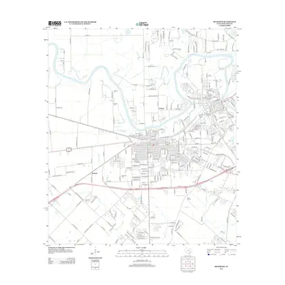 2013 Richmond2013 Print · USGSFort Bend County during the early twenty-first century reveals a landscape shaped by the Brazos River and a deep-rooted community history. Genealogists and local historians can trace family ties through numerous sites including Morton Cem, Lightfoot Cem, and the small settlement of McHattie.
 - 2013 Map of Orchard, 2013 Print
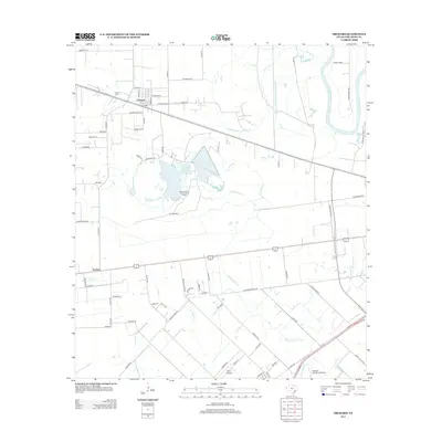 2013 Orchard2013 Print · USGSFort Bend County during the early 2010s shows a mix of traditional ranching and modern aviation infrastructure west of the river. Genealogists and local historians can trace family-named roads like Albert Marek Rd and find the industrial footprints of the Orchard Dome Oil and Gas Field.
 - 2013 Map of Sugar Land, 2013 Print
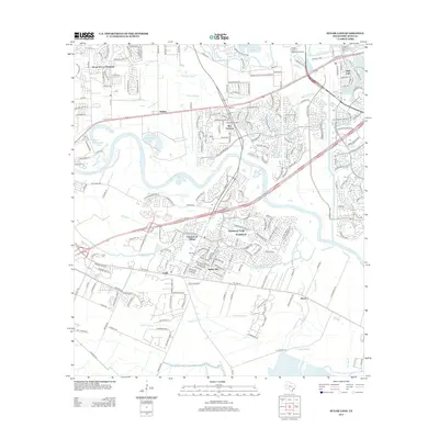 2013 Sugar Land2013 Print · USGSFort Bend County during its twenty-first-century growth phase shows a fascinating mix of large-scale suburban developments and older rural settlements. Genealogists and local historians can trace legacy sites like Sandberry Cem, Thompson Chapel, and the historic Pecan Grove Plantation.
 - 2016 Map of Richmond, 2016 Print
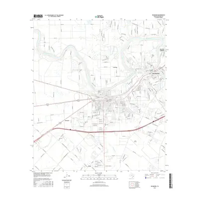 2016 Richmond2016 Print · USGSFort Bend County comes into sharp focus during this period of 21st-century growth along the Brazos River. Researchers can trace old property lines and family heritage through an abundance of local burial sites, including Morton Cem, Rosenberg Cem, and McNabb Cem.
 - 2016 Map of Sugar Land, 2016 Print
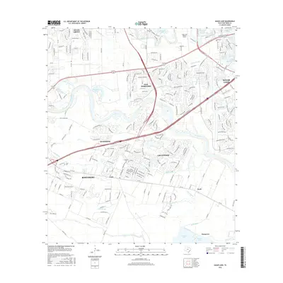 2016 Sugar Land2016 Print · USGSFort Bend County's transition from river-bottom lands to major suburban centers is captured here in the mid-2010s. Researchers can locate historic burial sites like Jones Cem and trace the winding course of the Brazos River past Richmond and Rosenberg.
 - 2016 Map of Orchard, 2016 Print
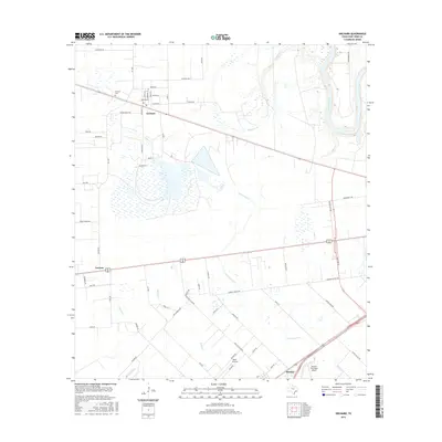 2016 Orchard2016 Print · USGSFort Bend County's prairie landscape is captured here in the mid-2010s, showing the agricultural roots and modern aviation growth of the region. Researchers can trace family sites near Orchard Cem or locate the rural siding at Tavener and the hub at Beasley.
 - 2016 Map of Needville, 2016 Print
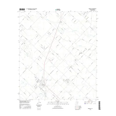 2016 Needville2016 Print · USGSNeedville and the surrounding Fort Bend County prairies are shown here during their mid-2010s development. Researchers can trace rural lineages and land patterns through the locations of Concord Cem, the small community of Pleak, and the banks of Big Creek.
 - 2016 Map of Kendleton, 2016 Print
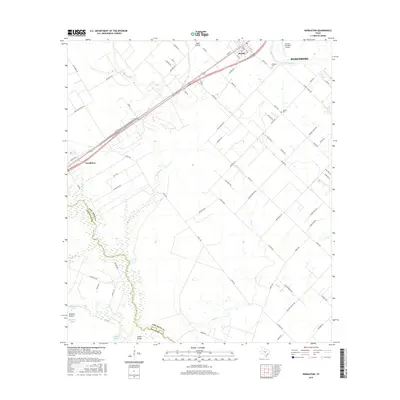 2016 Kendleton2016 Print · USGSThe agricultural plains of Fort Bend and Wharton counties are captured in the mid-2010s, showing the intersection of rural life and modern aviation. Trace local roots at Friedens Cem or follow the winding San Bernard River through Blossom Prairie.
 - 2019 Map of Orchard, 2019 Print
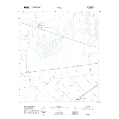 2019 Orchard2019 Print · USGSThe rural landscape of Fort Bend County is captured here in the late twenty-tens, where the Brazos River meets established towns and airfields. Researchers can trace local heritage through sites like Orchard Cem and the small communities of Orchard and Beasley.
 - 2019 Map of Needville, 2019 Print
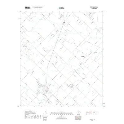 2019 Needville2019 Print · USGSFort Bend County was experiencing a shift from rural prairie to suburban transition when this survey was conducted. Researchers can trace family sites at Cesinger Cem or follow the path of Big Creek near settlements like Needville and Fairchilds.
 - 2019 Map of Richmond, 2019 Print
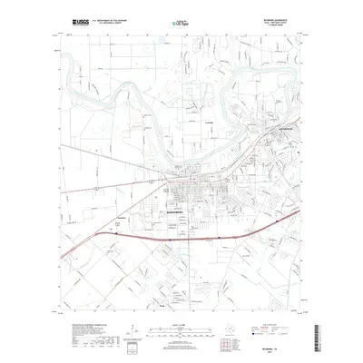 2019 Richmond2019 Print · USGSFort Bend County's riverfront communities are captured here in a period of modern growth along the Brazos River. Researchers can trace local lineage through numerous documented burial sites, including Morton Cem, Rosenberg Cem, and the West Gethsemane Cem.
 - 2019 Map of Sugar Land, 2019 Print
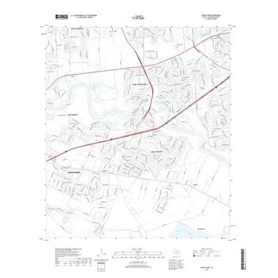 2019 Sugar Land2019 Print · USGSFort Bend County during its recent era of rapid suburban growth shows the meeting of the Brazos River and sprawling new neighborhoods. Trace family history at Sandberry Cem or explore the smaller outlying locales of Booth and Thompsons.
 - 2019 Map of Kendleton, 2019 Print
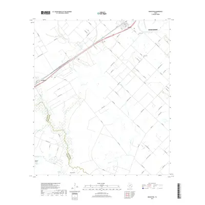 2019 Kendleton2019 Print · USGSFort Bend and Wharton counties are mapped here during the late 2010s, showing the agricultural landscape near the San Bernard River. Genealogists and researchers can trace rural burial sites at Friedens Cem and Modena Cem, or locate historic school sites along Foster School Rd.
 - 2022 Map of Needville, 2022 Print
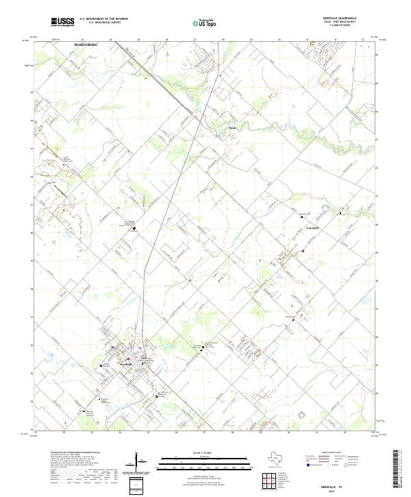 2022 Needville2022 Print · USGSThe rural landscape of Fort Bend County comes into focus in this recent survey of the area around Needville and Fairchilds. Genealogists will find an exceptional density of local landmarks, from the Mennonite Cem and Sitta Cem to the San Francisco Cementerio Sociedad.
 - 2022 Map of Richmond, 2022 Print
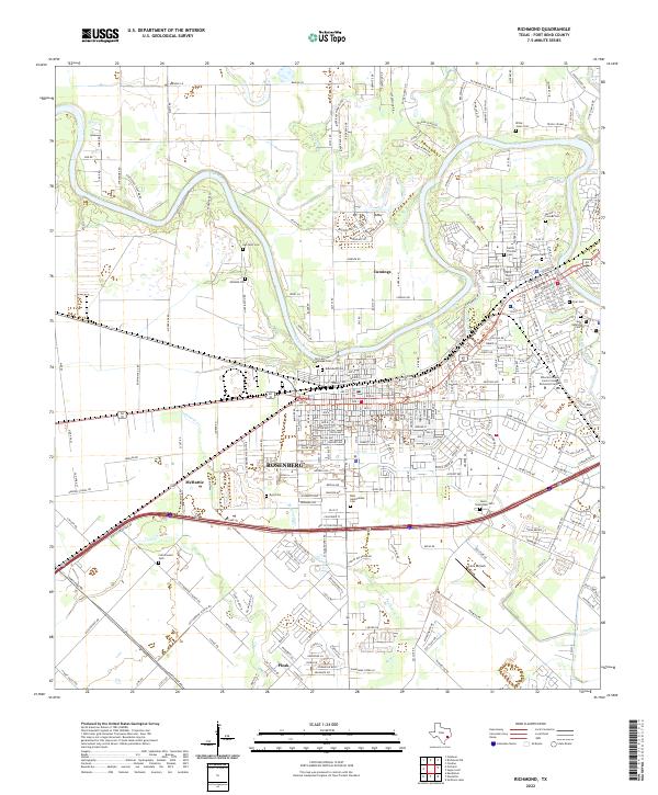 2022 Richmond2022 Print · USGSFort Bend County's twin cities of Rosenberg and Richmond are shown here in the 2020s as they bridge the Brazos River. Genealogists can trace a remarkable number of local burial sites, including Morton Cem, Byrd Cem, and the Faithe Thomas Cem.
 - 2022 Map of Kendleton, 2022 Print
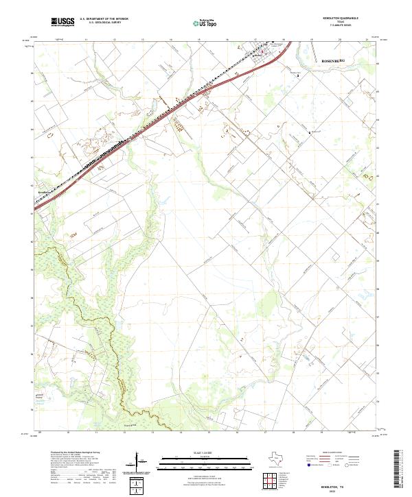 2022 Kendleton2022 Print · USGSThe Fort Bend and Wharton County line follows the San Bernard River in this modern survey of the Texas prairie. Genealogists can locate family names at Modena Cem, Friedens Cem, and the historic settlements of Kendleton and Beasley.
 - 2022 Map of Sugar Land, 2022 Print
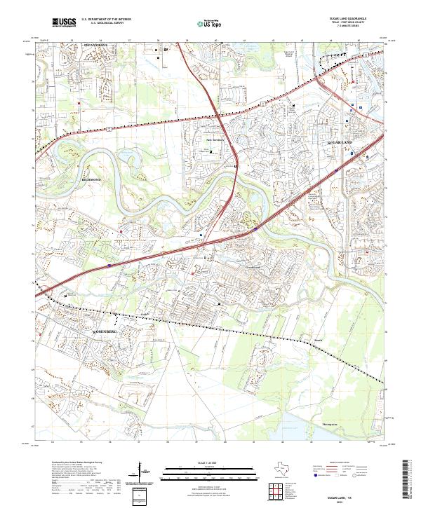 2022 Sugar Land2022 Print · USGSGreater Houston’s southwestern expansion reaches across the Brazos River in this detailed 2022 survey. Genealogists and local historians can trace small family burial grounds like Saints Chapel Cem and Pickens Cem amidst the modern growth of Greatwood and Pecan Grove.
 - 2022 Map of Orchard, 2022 Print
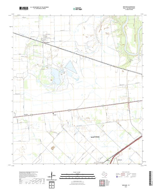 2022 Orchard2022 Print · USGSFort Bend County at the start of the 2020s shows a landscape of established rural settlements and evolving transport hubs. Genealogists and local historians can trace family sites like Barnett Family Cem or locate Orchard Cem and the Houston Fort Bend Airport.
End of results
Showing maps 1-25 of 25
Top cities near Rosenberg
- Houston historical maps
- Sugar Land historical maps
- Katy historical maps
- Richmond historical maps
- Brookshire historical maps
- Needville historical maps
See more
Top neighborhoods of Rosenberg
Frequently asked questions
- What are the different types of historical maps available for Rosenberg?
- What is the oldest map of Rosenberg?
- Where can I purchase historical maps of Rosenberg for my home or office?
- Where can I download high-res historical maps of Rosenberg?
- Are there historical topographic maps available for Rosenberg?
- Is there historical aerial imagery available for Rosenberg?
- Where are historical maps of Rosenberg sourced from?