2000s (21st Century) Maps of Sugar Land, Texas
Explore 20 historic maps of Sugar Land from the 2000s (21st Century). These maps offer a rare glimpse into what life looked like during the 2000s — showing old roads, neighborhoods, homes, and landmarks that have changed or disappeared over time.
Whether you're researching your family's past, planning a metal detecting trip, or studying how Sugar Land's landscape evolved across the 2000s, these high-resolution maps are a powerful tool for exploring the history of this region.
- Focus on a specific era: All maps on this page are from the 2000s, giving you a focused view of this time period.
- See what’s changed: Compare century-old streets, trails, and buildings to today's modern landscape using overlays and satellite layers.
- Research with precision: Use these maps for genealogy, historical research, land use analysis, or educational projects.
- View, download, or print: Maps are fully viewable online in high resolution, and can be downloaded or printed for your own records.
Start exploring Sugar Land's history through authentic maps from the 2000s. This is your window into the past.
Sugar Land, TX maps
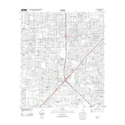
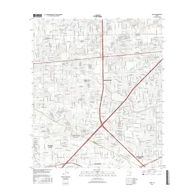
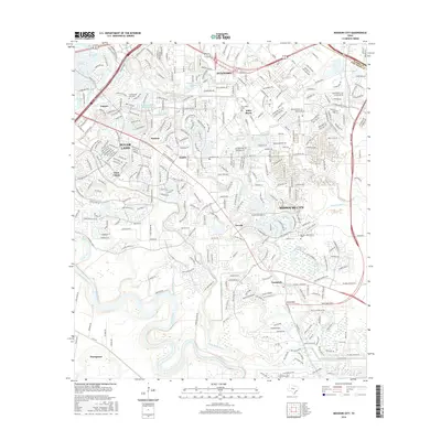
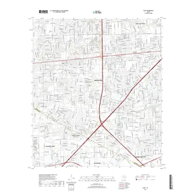
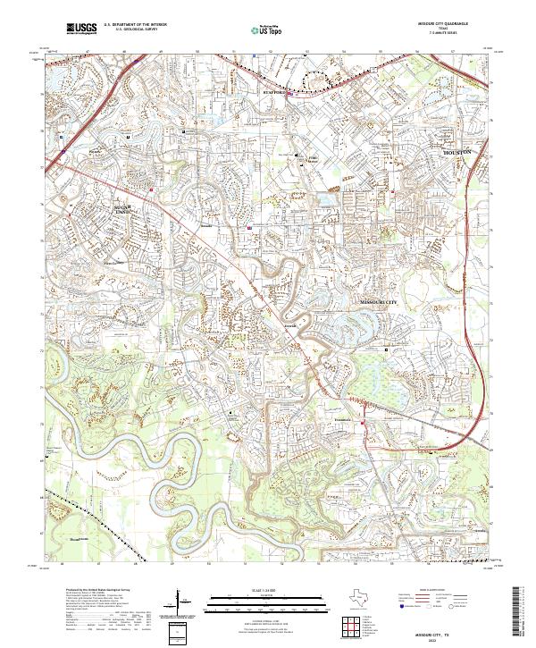
(20)- 2010 Map of Missouri City, 2010 Print
 2010 Missouri City2010 Print · USGSCovers Sugar Land, including Houston, Missouri City, and other nearby areas
 - 2010 Map of Sugar Land, 2010 Print
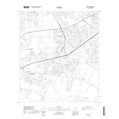
 2010 Sugar Land2010 Print · USGSCovers Sugar Land, including Rosenberg, Richmond, and other nearby areas
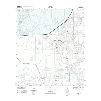
 - 2010 Map of Alief, 2010 Print
 2010 Alief2010 Print · USGSCovers Sugar Land, including Houston, Missouri City, and other nearby areas
 - 2010 Map of Clodine, 2010 Print
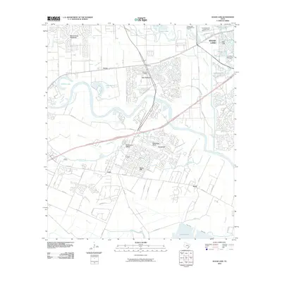
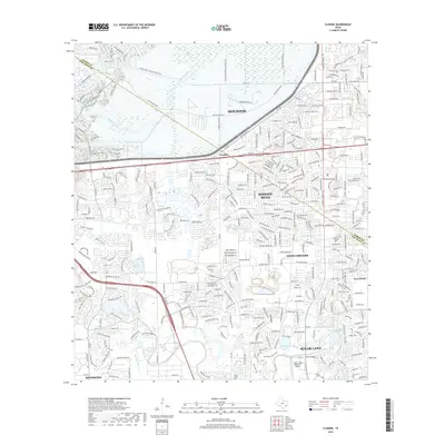
 2010 Clodine2010 Print · USGSCovers Sugar Land, including Houston, Richmond, and other nearby areas
 - 2013 Map of Alief, 2013 Print
 2013 Alief2013 Print · USGSCovers Sugar Land, including Houston, Missouri City, and other nearby areas
 - 2013 Map of Missouri City, 2013 Print
 2013 Missouri City2013 Print · USGSCovers Sugar Land, including Houston, Missouri City, and other nearby areas
 - 2013 Map of Sugar Land, 2013 Print
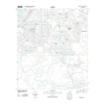
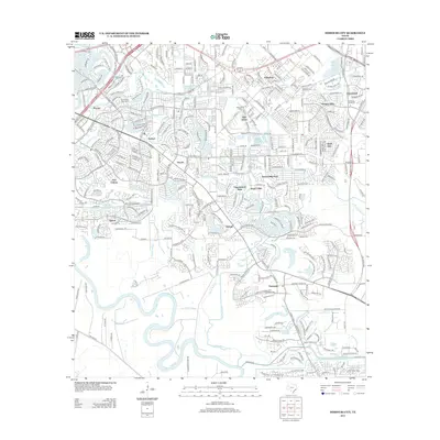
 2013 Sugar Land2013 Print · USGSCovers Sugar Land, including Rosenberg, Richmond, and other nearby areas
 - 2013 Map of Clodine, 2013 Print
 2013 Clodine2013 Print · USGSCovers Sugar Land, including Houston, Richmond, and other nearby areas
 - 2016 Map of Sugar Land, 2016 Print
 2016 Sugar Land2016 Print · USGSCovers Sugar Land, including Rosenberg, Richmond, and other nearby areas
 - 2016 Map of Alief, 2016 Print
 2016 Alief2016 Print · USGSCovers Sugar Land, including Houston, Missouri City, and other nearby areas
 - 2016 Map of Clodine, 2016 Print
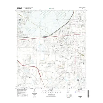 2016 Clodine2016 Print · USGSCovers Sugar Land, including Houston, Richmond, and other nearby areas
 - 2016 Map of Missouri City, 2016 Print
 2016 Missouri City2016 Print · USGSCovers Sugar Land, including Houston, Missouri City, and other nearby areas
 - 2019 Map of Sugar Land, 2019 Print
 2019 Sugar Land2019 Print · USGSCovers Sugar Land, including Rosenberg, Richmond, and other nearby areas
 - 2019 Map of Alief, 2019 Print
 2019 Alief2019 Print · USGSCovers Sugar Land, including Houston, Missouri City, and other nearby areas
 - 2019 Map of Clodine, 2019 Print
 2019 Clodine2019 Print · USGSCovers Sugar Land, including Houston, Richmond, and other nearby areas
 - 2019 Map of Missouri City, 2019 Print
 2019 Missouri City2019 Print · USGSCovers Sugar Land, including Houston, Missouri City, and other nearby areas
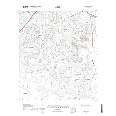
 - 2022 Map of Missouri City, 2022 Print
 2022 Missouri City2022 Print · USGSFort Bend County's transition from river-bottom ranching to a major suburban hub is on display here in the early 2020s. Genealogists and historians can locate numerous burial sites like Cementerio San Isidro and Stafford Cem alongside old crossroads like Dewalt.
 - 2022 Map of Alief, 2022 Print
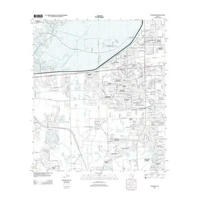
 2022 Alief2022 Print · USGSThe western Houston suburbs of Harris and Fort Bend counties are shown in 2022 during a period of dense residential and institutional growth. Researchers can find prominent landmarks like Piney Point Village, Houston Baptist University, and the Forest Park Cem.
 - 2022 Map of Clodine, 2022 Print
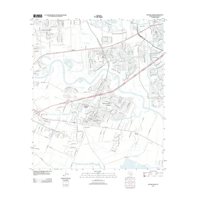
 2022 Clodine2022 Print · USGSFort Bend and Harris counties meet here in a landscape of rapid suburban growth during the 2020s. Researchers can trace historic cemeteries and neighborhood landmarks like Pleasant Green Cem, Clodine, and Hodges Bend Cem.
 - 2022 Map of Sugar Land, 2022 Print
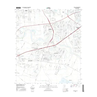
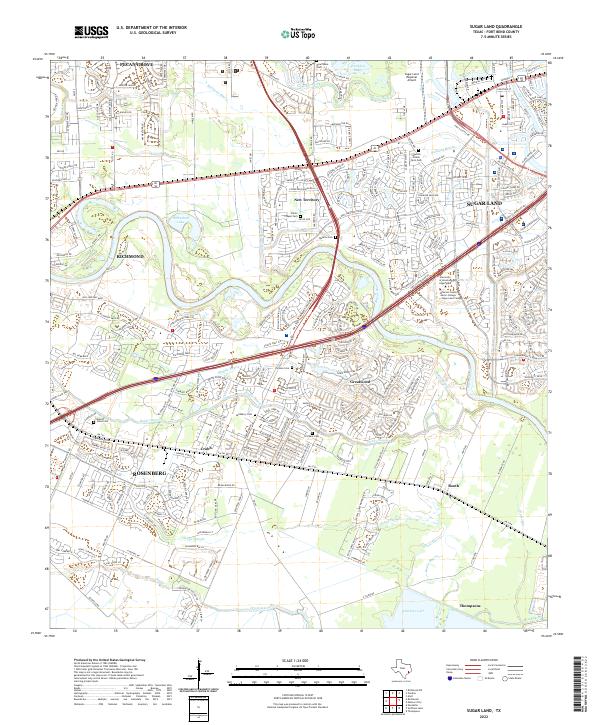 2022 Sugar Land2022 Print · USGSGreater Houston’s southwestern expansion reaches across the Brazos River in this detailed 2022 survey. Genealogists and local historians can trace small family burial grounds like Saints Chapel Cem and Pickens Cem amidst the modern growth of Greatwood and Pecan Grove.
End of results
Showing maps 1-20 of 20
Top cities near Sugar Land
- Houston historical maps
- Pearland historical maps
- Missouri City historical maps
- Rosenberg historical maps
- Alvin historical maps
- Fresno historical maps
See more
Top neighborhoods of Sugar Land
- Herbert historical maps
- Paynes historical maps
- First Colony historical maps
- New Territory historical maps
- Greatwood historical maps
Frequently asked questions
- What are the different types of historical maps available for Sugar Land?
- What is the oldest map of Sugar Land?
- Where can I purchase historical maps of Sugar Land for my home or office?
- Where can I download high-res historical maps of Sugar Land?
- Are there historical topographic maps available for Sugar Land?
- Is there historical aerial imagery available for Sugar Land?
- Where are historical maps of Sugar Land sourced from?