Old Maps of Thompsons, Texas for Hiking & Exploration
Hike through history with 32 historic maps of Thompsons. Explore old trails, ghost towns, and forgotten backroads — perfect for outdoor adventurers and local explorers.
- Rediscover forgotten places: Map out old mining camps, roads, and footpaths that no longer exist on modern maps.
- Layer with modern tools: Combine with LiDAR or satellite views to plan hikes through historical terrain.
- Made for exploration: Popular among hikers, overlanders, and local history lovers.
Use these maps to find adventure and explore the hidden past of Thompsons.
Thompsons, TX maps
(32)- 1950 Map of Houston, 1953 Print
 1950 Houston1953 Print · USGSCoastal Texas in the early fifties reveals a landscape of massive civil engineering and industrial transit. Genealogists and researchers can trace the growth of the Houston suburbs and the maritime infrastructure of Galveston Bay, including the Gulf Freeway and the Texas City Dike.
 - 1953 Map of Lake George, 1954 Print
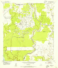
 1953 Lake George1954 Print · USGSFort Bend County in the early fifties is captured here as an industrializing landscape of oil and sulphur extraction. Trace the development of the Big Creek Oil Field and Sulphur Field alongside the Long Point School and the rails of the Santa Fe.3 unique versions available
 - 1953 Map of Thompsons, 1955 Print
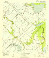
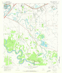
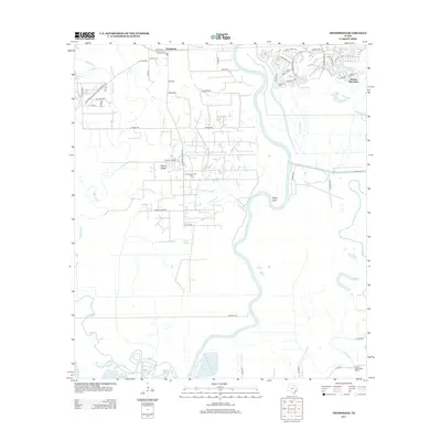
 1953 Thompsons1955 Print · USGSThe Brazos River valley in the early fifties shows a landscape transformed by petroleum at Humble Camp and Thompsons Ridge Field. Trace family roots near Thompsons and locate the Sacred Heart Church or the Darrington State Prison Farm.3 unique versions available
 - 1955 Map of Sugar Land, 1957 Print
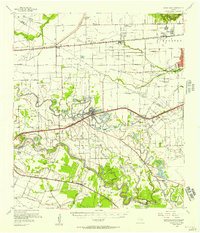 1955 Sugar Land1957 Print · USGSFort Bend and Harris counties were transitioning from a plantation and prison-farm economy to a modern industrial corridor in the mid-1950s. Genealogists can trace family names at the Dewalt Cem or Riceville Ch, while researchers can map the early footprints of Sharpstown and Andrau Airpark.
 - 1956 Map of Houston, 1963 Print
 1956 Houston1963 Print · USGSSoutheast Texas in the mid-fifties is captured here as a powerhouse of oil and maritime trade. Genealogists and historians can trace the foundations of Houston and its ports, alongside landmarks like the Rice Institute and the Spindletop Oil Field.2 unique versions available
 - 1970 Map of Sugar Land, 1973 Print
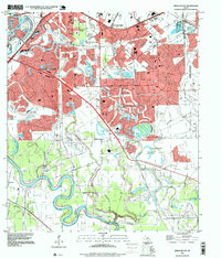
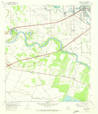 1970 Sugar Land1973 Print · USGSFort Bend County reveals its transition from rural prison farming to suburban expansion in the early seventies. Genealogists and researchers can trace family landmarks like Thompson Chapel, Sandberry Cem, and old rail stops at Crabb and Booth.3 unique versions available
 - 1970 Map of Missouri City, 1973 Print
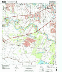
 1970 Missouri City1973 Print · USGSFort Bend County's river-bottom lands were transitioning toward suburban growth in the late sixties as the boundaries of Sugar Land and Missouri City expanded. Researchers can trace historic local sites like Dewalt Cem, Trammels, and the John Foster Dulles High Sch.3 unique versions available
 - 1975 Map of Houston, 1977 Print
 1975 Houston1977 Print · USGSThe Texas Gulf Coast in the mid-seventies shows a sprawling Houston metropolis linked to the sea by the massive Houston Ship Channel. Researchers can trace the mid-century industrial landscape from the Astrodome to the Lyndon B. Johnson Space Center.2 unique versions available
 - 1984 Map of Angleton
 1984 Angleton1984 Print · USGSThe Texas Gulf Coast in the mid-eighties shows a landscape of salt domes and bayous at the height of its oil-and-river economy. Researchers can trace land use through the Damon Mound Oil Field and the sprawling State Department of Corrections (Retrieve Unit).2 unique versions available
 - 1992 Map of Houston
 1992 Houston1992 Print · USGSThe Houston metropolitan area reached its modern sprawl in the early nineties, centered on the Buffalo Bayou and a massive regional rail network. Genealogists and historians can trace the development of satellite cities like Sugar Land and Pasadena, or locate legacy sites like the Humble Oil Field and the NASA Lyndon B Johnson Space Center.
 - 1995 Map of Missouri City, 1999 Print
 1995 Missouri City1999 Print · USGSThe Houston suburbs were in the midst of a significant growth phase in the late nineties as residential tracts pushed into the Brazos River bottomlands. Researchers can find old family cemeteries and country churches like Dewalt Cem and St John Ch alongside the rails of the Missouri Pacific.
 - 1995 Map of Sugar Land, 1999 Print
 1995 Sugar Land1999 Print · USGSFort Bend County in the mid-1990s shows a unique landscape where suburban growth meets large-scale institutional land use. Researchers can trace historic local sites like Crabb, the Sandberry Cem, and the sprawling Jester State Prison Farm.
 - 2010 Map of Smithers Lake, 2010 Print
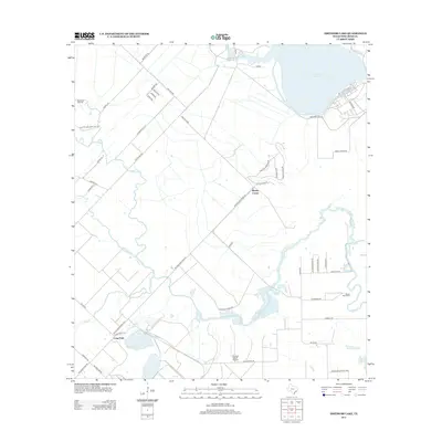
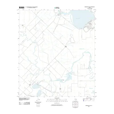 2010 Smithers Lake2010 Print · USGSCovers Thompsons, including Fairchilds, Long Point, and other nearby areas
 - 2010 Map of Missouri City, 2010 Print
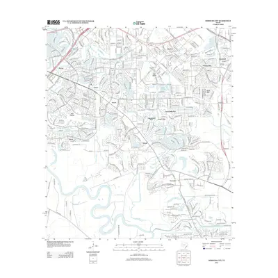
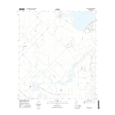
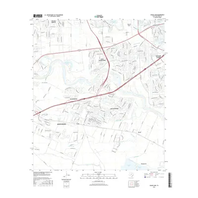
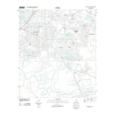 2010 Missouri City2010 Print · USGSCovers Thompsons, including Houston, Sugar Land, and other nearby areas
 - 2010 Map of Thompsons, 2010 Print
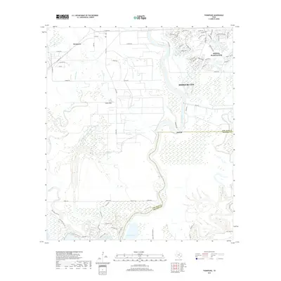
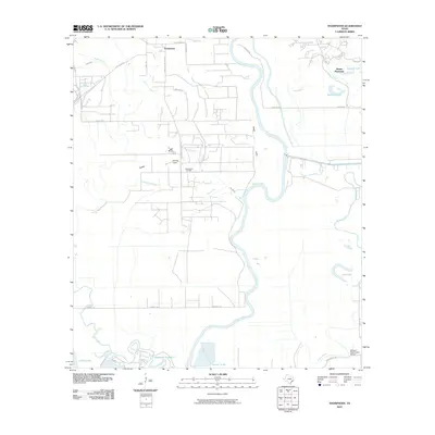 2010 Thompsons2010 Print · USGSCovers Thompsons, including Missouri City, Alvin, and other nearby areas
 - 2010 Map of Sugar Land, 2010 Print
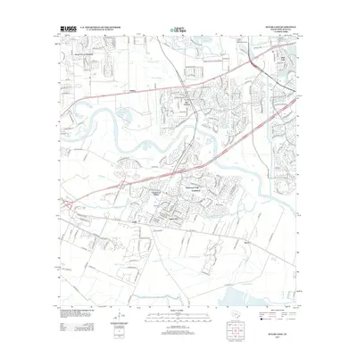
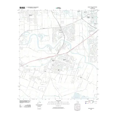 2010 Sugar Land2010 Print · USGSCovers Thompsons, including Sugar Land, Rosenberg, and other nearby areas
 - 2013 Map of Missouri City, 2013 Print
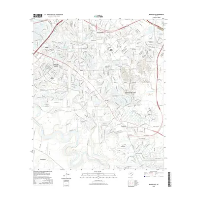
 2013 Missouri City2013 Print · USGSCovers Thompsons, including Houston, Sugar Land, and other nearby areas
 - 2013 Map of Thompsons, 2013 Print
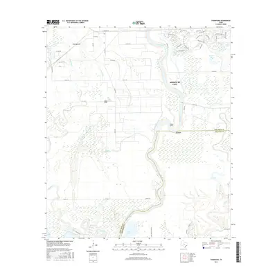
 2013 Thompsons2013 Print · USGSCovers Thompsons, including Missouri City, Alvin, and other nearby areas
 - 2013 Map of Smithers Lake, 2013 Print
 2013 Smithers Lake2013 Print · USGSCovers Thompsons, including Fairchilds, Long Point, and other nearby areas
 - 2013 Map of Sugar Land, 2013 Print
 2013 Sugar Land2013 Print · USGSCovers Thompsons, including Sugar Land, Rosenberg, and other nearby areas
 - 2016 Map of Smithers Lake, 2016 Print
 2016 Smithers Lake2016 Print · USGSCovers Thompsons, including Fairchilds, Long Point, and other nearby areas
 - 2016 Map of Sugar Land, 2016 Print
 2016 Sugar Land2016 Print · USGSCovers Thompsons, including Sugar Land, Rosenberg, and other nearby areas
 - 2016 Map of Thompsons, 2016 Print
 2016 Thompsons2016 Print · USGSCovers Thompsons, including Missouri City, Alvin, and other nearby areas
 - 2016 Map of Missouri City, 2016 Print
 2016 Missouri City2016 Print · USGSCovers Thompsons, including Houston, Sugar Land, and other nearby areas
 - 2019 Map of Thompsons, 2019 Print
 2019 Thompsons2019 Print · USGSCovers Thompsons, including Missouri City, Alvin, and other nearby areas
Showing maps 1-25 of 32
Top cities near Thompsons
- Houston historical maps
- Pearland historical maps
- Sugar Land historical maps
- Missouri City historical maps
- Rosenberg historical maps
- Alvin historical maps
See more
Frequently asked questions
- What are the different types of historical maps available for Thompsons?
- What is the oldest map of Thompsons?
- Where can I purchase historical maps of Thompsons for my home or office?
- Where can I download high-res historical maps of Thompsons?
- Are there historical topographic maps available for Thompsons?
- Is there historical aerial imagery available for Thompsons?
- Where are historical maps of Thompsons sourced from?