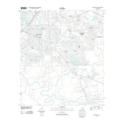
2010 Map of Missouri City
USGS Topo · Published 2010About this map
The Brazos River meanders through the southern reaches of this landscape, defining a network of sloughs and creeks that separate established settlements from growing residential districts. Sugar Land and Missouri City anchor the northern half of the region, where the historical alignment of U.S. Hwy 90 Alt and S Main St connects smaller communities like Paynes and Fifth Street. The map reveals a transition from suburban development to open river bottomlands, marked by the presence of Trammels and the legacy of agricultural land use near Snake Slough. Local history is preserved in several burial grounds, including the Cementerio San Isidro and the Dewalt Cemetery, located near the namesake community of Dewalt. Hydrological control is a central theme here, evidenced by the Fort Bend WCID 1 Oyster Creek Dam 3 and the System Canal near Black Lake.
Find a feature on this map
73 named features on this map. Tap any name to fly to it.
Don’t see what you’re looking for? This feature index may not catch every label — zoom into the map to look around manually.
Map Details
Editions of this 2010 Missouri City Map
This is the sole edition of this map. No revisions or reprints were ever made.
Other maps of this area

1915 · Bellaire
USGS Topo · 1:24,000

1915 · Alief
USGS Topo · 1:24,000

1915 · Clodine
USGS Topo · 1:24,000

1919 · Clodine
USGS Topo · 1:31,680

1920 · Almeda
USGS Topo · 1:31,680

1921 · Bellaire
USGS Topo · 1:31,680

1943 · Juliff
USGS Topo · 1:31,680

1950 · Houston
USGS Topo · 1:250,000

1953 · Lake George
USGS Topo · 1:24,000

1953 · Thompsons
USGS Topo · 1:24,000