Old Maps of Pearsall, Texas for Metal Detecting
Plan your next treasure hunt with 32 historic maps of Pearsall. Find old homesites, ghost towns, trails, and gathering spots that may be lost to time — perfect for identifying promising metal detecting locations.
- Locate forgotten sites: Uncover places like long-lost settlements, abandoned rail lines, or gathering spots.
- Plan better hunts: Use map overlays combined with LiDAR or satellite views to narrow in on historically rich areas.
- Made for detectorists: Thousands of hobbyists use these maps to discover relics, coins, and hidden history.
Use these historic maps to boost your research and find new opportunities beneath the surface of Pearsall.
Pearsall, TX maps
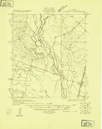
(32)- 1925 Map of Pearsall 1-b
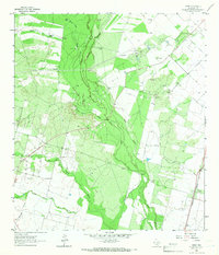
 1925 Pearsall 1-b1925 Print · USGSThe Frio River basin is captured here in the mid-twenties, showing the intricate drainage of the Texas brush country. Researchers can trace river access points like Cood Crossing and the paths of Hondo Creek and Buck Creek.
 - 1925 Map of Pearsall 1-c
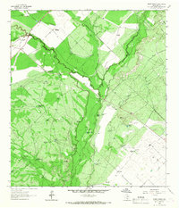
 1925 Pearsall 1-c1925 Print · USGSFrio County in the mid-1920s reveals a landscape defined by the winding Frio River and early overland transit routes. Trace the early settlement at Derby and the corridor of the Jeff Davis Highway near its junction with Todos Santos Creek.
 - 1927 Map of Pearsall
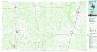
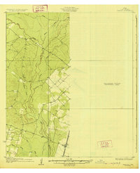 1927 Pearsall1927 Print · USGSSouth Texas ranch country comes into focus in the 1920s as early aerial photography began to transform traditional mapping. Researchers can trace the International Great Northern railroad through Derby and follow the winding Frio River.2 unique versions available
 - 1953 Map of Crystal City
 1953 Crystal City1953 Print · USGSSouth Texas in the early fifties was a landscape of expanding oil fields and vital rail connections. Genealogists and researchers can trace family lands along the Nueces River or locate heritage sites in Asherton, Big Wells, and Batesville.
 - 1955 Map of Crystal City, 1976 Print
 1955 Crystal City1976 Print · USGSSouth Texas ranching and oil country come into focus in the mid-fifties as the rail lines and rivers connect growing hubs. Researchers can trace the development of energy fields like Washburn Oil Field or locate historic settlements from Asherton to Three Rivers.
 - 1961 Map of Crystal City
 1961 Crystal City1961 Print · USGSSouth Texas in the early sixties reveals a landscape of massive cattle ranches and emerging oil fields. Genealogists and historians can trace the Missouri Pacific rail lines through Crystal City, or locate water features like Espantosa Lake and Boynton Reservoir.
 - 1964 Map of Pearsall South, 1966 Print
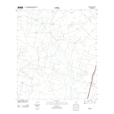
 1964 Pearsall South1966 Print · USGSFrio County ranching and oil interests are captured here in the mid-1960s, showing the country south of the rail line. Genealogists and researchers can locate Buckhorn Cem, family landmarks like Shiner Ranch, and the McKinley Landing Strip.2 unique versions available
 - 1964 Map of Pearsall North, 1966 Print
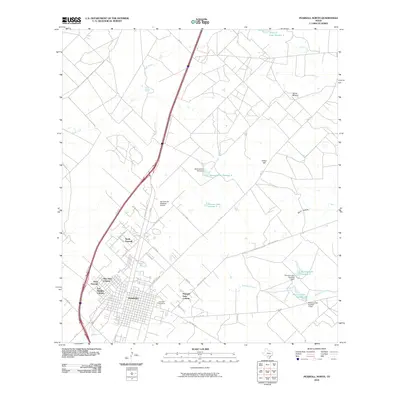
 1964 Pearsall North1966 Print · USGSPearsall and the surrounding Frio County ranch lands are captured here during a period of mid-century growth. Researchers can trace family history at Pearsall Cem or locate the old Westside Sch and Jr High Sch near the Missouri Pacific line.2 unique versions available
 - 1964 Map of Derby, 1966 Print
 1964 Derby1966 Print · USGSSouth Texas ranching and resource extraction dominate this mid-sixties survey of Frio County. Genealogists and historians can locate the community of Derby along the Missouri Pacific tracks or trace water sources like Honeymoon Windmill and the Leona River.2 unique versions available
 - 1964 Map of Halff Ranch, 1967 Print
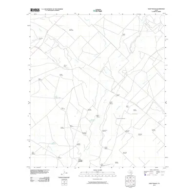
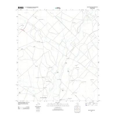
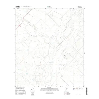
 1964 Halff Ranch1967 Print · USGSSouth Texas cattle country during the mid-sixties is defined by the winding Frio River and a vast network of family ranch holdings. Genealogists and historians can trace the footprints of the Halff Ranch, Thompson Ranch, and dozens of named water sources like Buzzard Roost Lake.
 - 1968 Map of Crystal City
 1968 Crystal City1968 Print · USGSSouth Texas in the late sixties reveals a landscape shaped by ranching roots and the vital waters of the Nueces River. Researchers can trace the rail-driven growth of Crystal City or locate landmarks like Pilot Knob and Espantosa Lake.
 - 1985 Map of Crystal City
 1985 Crystal City1985 Print · USGSThe Texas Winter Garden region comes into focus during the mid-1980s, detailing a landscape of irrigation, energy, and rail. Genealogists and researchers can trace lineage through rural centers like Big Wells, Winter Haven, and Loma Vista or locate early industrial sites such as the Big Wells Oil Field.2 unique versions available
 - 2010 Map of Halff Ranch, 2010 Print
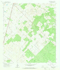
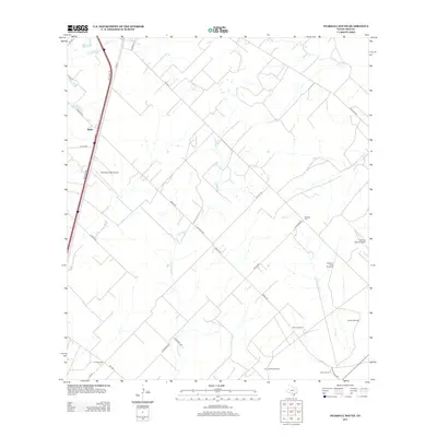
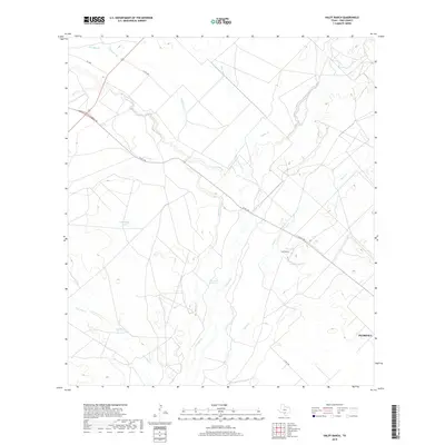
 2010 Halff Ranch2010 Print · USGSCovers Pearsall, including Cude Crossing Windmill, Frio County, and other nearby areas
 - 2010 Map of Derby, 2010 Print
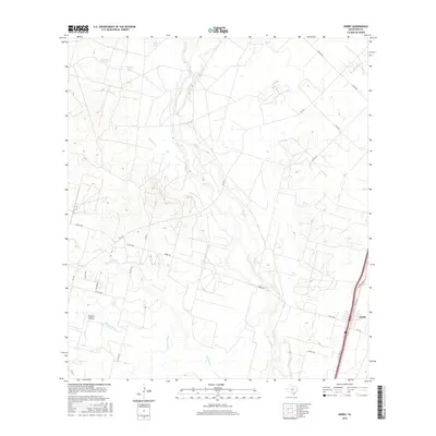
 2010 Derby2010 Print · USGSCovers Pearsall, including Derby, Frio County, and other nearby areas
 - 2010 Map of Pearsall South, 2010 Print
 2010 Pearsall South2010 Print · USGSCovers Pearsall, including Melon, Frio County, and other nearby areas
 - 2010 Map of Pearsall North, 2010 Print
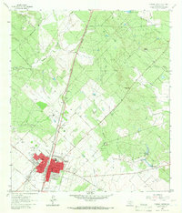
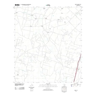
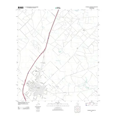
 2010 Pearsall North2010 Print · USGSCovers Pearsall, including West Pearsall, North Pearsall, and other nearby areas
 - 2013 Map of Derby, 2013 Print
 2013 Derby2013 Print · USGSCovers Pearsall, including Derby, Frio County, and other nearby areas
 - 2013 Map of Halff Ranch, 2013 Print
 2013 Halff Ranch2013 Print · USGSCovers Pearsall, including Cude Crossing Windmill, Frio County, and other nearby areas
 - 2013 Map of Pearsall South, 2013 Print
 2013 Pearsall South2013 Print · USGSCovers Pearsall, including Melon, Frio County, and other nearby areas
 - 2013 Map of Pearsall North, 2013 Print
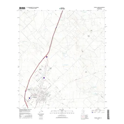
 2013 Pearsall North2013 Print · USGSCovers Pearsall, including West Pearsall, North Pearsall, and other nearby areas
 - 2016 Map of Pearsall North, 2016 Print
 2016 Pearsall North2016 Print · USGSCovers Pearsall, including West Pearsall, North Pearsall, and other nearby areas
 - 2016 Map of Derby, 2016 Print
 2016 Derby2016 Print · USGSCovers Pearsall, including Derby, Frio County, and other nearby areas
 - 2016 Map of Halff Ranch, 2016 Print
 2016 Halff Ranch2016 Print · USGSCovers Pearsall, including Cude Crossing Windmill, Frio County, and other nearby areas
 - 2016 Map of Pearsall South, 2016 Print
 2016 Pearsall South2016 Print · USGSCovers Pearsall, including Melon, Frio County, and other nearby areas
 - 2019 Map of Halff Ranch, 2019 Print
 2019 Halff Ranch2019 Print · USGSCovers Pearsall, including Cude Crossing Windmill, Frio County, and other nearby areas
Showing maps 1-25 of 32
Top cities near Pearsall
Top neighborhoods of Pearsall
Frequently asked questions
- What are the different types of historical maps available for Pearsall?
- What is the oldest map of Pearsall?
- Where can I purchase historical maps of Pearsall for my home or office?
- Where can I download high-res historical maps of Pearsall?
- Are there historical topographic maps available for Pearsall?
- Is there historical aerial imagery available for Pearsall?
- Where are historical maps of Pearsall sourced from?