2000s (21st Century) Maps of Pearsall, Texas
Explore 20 historic maps of Pearsall from the 2000s (21st Century). These maps offer a rare glimpse into what life looked like during the 2000s — showing old roads, neighborhoods, homes, and landmarks that have changed or disappeared over time.
Whether you're researching your family's past, planning a metal detecting trip, or studying how Pearsall's landscape evolved across the 2000s, these high-resolution maps are a powerful tool for exploring the history of this region.
- Focus on a specific era: All maps on this page are from the 2000s, giving you a focused view of this time period.
- See what’s changed: Compare century-old streets, trails, and buildings to today's modern landscape using overlays and satellite layers.
- Research with precision: Use these maps for genealogy, historical research, land use analysis, or educational projects.
- View, download, or print: Maps are fully viewable online in high resolution, and can be downloaded or printed for your own records.
Start exploring Pearsall's history through authentic maps from the 2000s. This is your window into the past.
Pearsall, TX maps
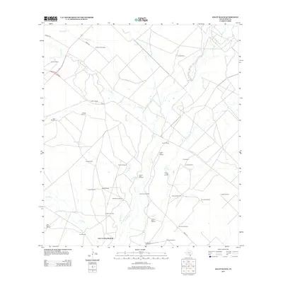
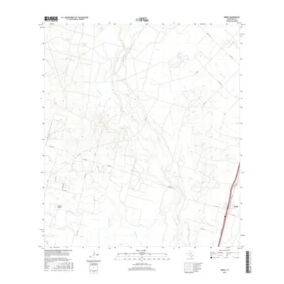
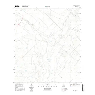
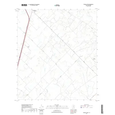
(20)- 2010 Map of Halff Ranch, 2010 Print
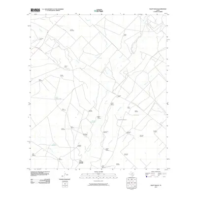 2010 Halff Ranch2010 Print · USGSCovers Pearsall, including Cude Crossing Windmill, Frio County, and other nearby areas
 - 2010 Map of Derby, 2010 Print
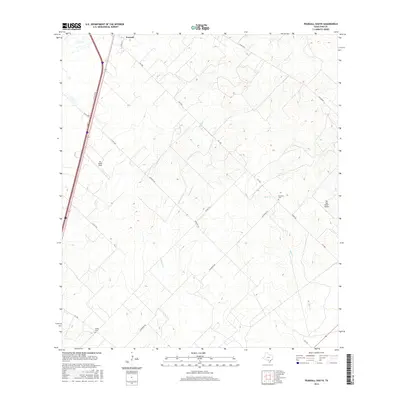
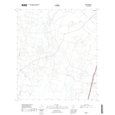
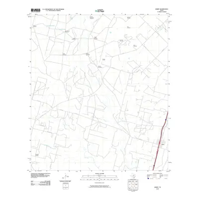 2010 Derby2010 Print · USGSCovers Pearsall, including Derby, Frio County, and other nearby areas
 - 2010 Map of Pearsall South, 2010 Print
 2010 Pearsall South2010 Print · USGSCovers Pearsall, including Melon, Frio County, and other nearby areas
 - 2010 Map of Pearsall North, 2010 Print
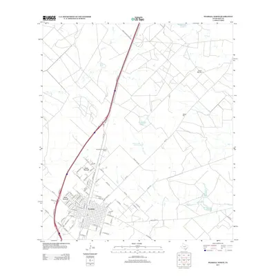
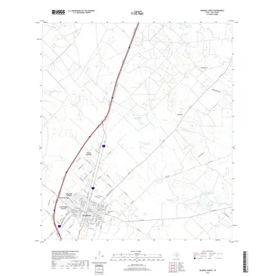
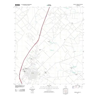 2010 Pearsall North2010 Print · USGSCovers Pearsall, including West Pearsall, North Pearsall, and other nearby areas
 - 2013 Map of Derby, 2013 Print
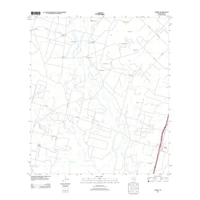 2013 Derby2013 Print · USGSCovers Pearsall, including Derby, Frio County, and other nearby areas
 - 2013 Map of Halff Ranch, 2013 Print
 2013 Halff Ranch2013 Print · USGSCovers Pearsall, including Cude Crossing Windmill, Frio County, and other nearby areas
 - 2013 Map of Pearsall South, 2013 Print
 2013 Pearsall South2013 Print · USGSCovers Pearsall, including Melon, Frio County, and other nearby areas
 - 2013 Map of Pearsall North, 2013 Print
 2013 Pearsall North2013 Print · USGSCovers Pearsall, including West Pearsall, North Pearsall, and other nearby areas
 - 2016 Map of Pearsall North, 2016 Print
 2016 Pearsall North2016 Print · USGSCovers Pearsall, including West Pearsall, North Pearsall, and other nearby areas
 - 2016 Map of Derby, 2016 Print
 2016 Derby2016 Print · USGSCovers Pearsall, including Derby, Frio County, and other nearby areas
 - 2016 Map of Halff Ranch, 2016 Print
 2016 Halff Ranch2016 Print · USGSCovers Pearsall, including Cude Crossing Windmill, Frio County, and other nearby areas
 - 2016 Map of Pearsall South, 2016 Print
 2016 Pearsall South2016 Print · USGSCovers Pearsall, including Melon, Frio County, and other nearby areas
 - 2019 Map of Halff Ranch, 2019 Print
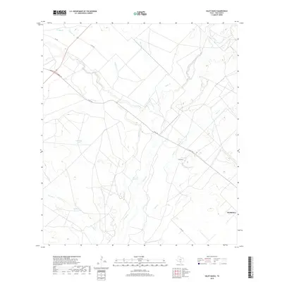 2019 Halff Ranch2019 Print · USGSCovers Pearsall, including Cude Crossing Windmill, Frio County, and other nearby areas
 - 2019 Map of Pearsall South, 2019 Print
 2019 Pearsall South2019 Print · USGSCovers Pearsall, including Melon, Frio County, and other nearby areas
 - 2019 Map of Pearsall North, 2019 Print
 2019 Pearsall North2019 Print · USGSCovers Pearsall, including West Pearsall, North Pearsall, and other nearby areas
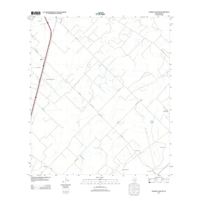
 - 2019 Map of Derby, 2019 Print
 2019 Derby2019 Print · USGSCovers Pearsall, including Derby, Frio County, and other nearby areas
 - 2022 Map of Halff Ranch, 2022 Print
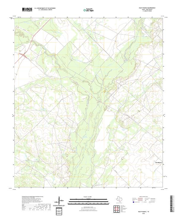 2022 Halff Ranch2022 Print · USGSSouth Texas ranching country west of the county seat comes into focus in this contemporary survey of Frio County. Researchers can trace the winding course of the Frio River and locate vital water sources like Buzzard Roost Lake, Salt Hollow Tank, and Javelin Tank.
 - 2022 Map of Derby, 2022 Print
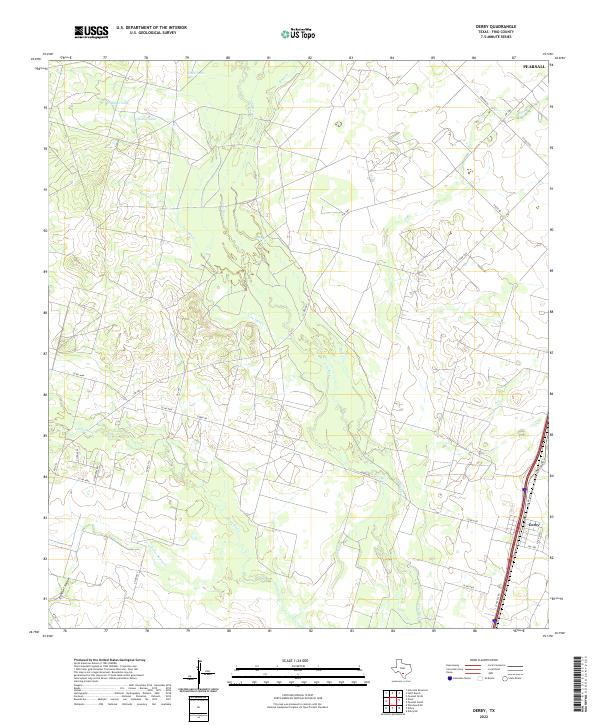 2022 Derby2022 Print · USGSSouth Texas ranching country in the early 2020s shows the enduring landscape of the Frio River basin. Genealogists and historians can trace the rural infrastructure around Derby, including landmarks like Costilla Tank and Todos Santos Cr.
 - 2022 Map of Pearsall South, 2022 Print
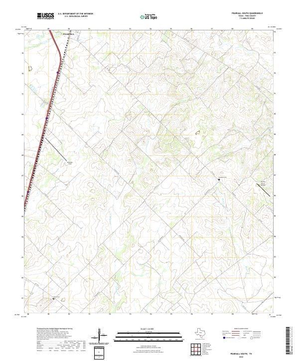 2022 Pearsall South2022 Print · USGSSouth Texas ranching country comes into focus in this recent survey of the lands just below the Frio county seat. Researchers can locate remote family landmarks such as Buckhorn Cem and trace the paths of Lockhardt Cr and Mule Cr.
 - 2022 Map of Pearsall North, 2022 Print
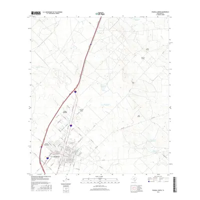
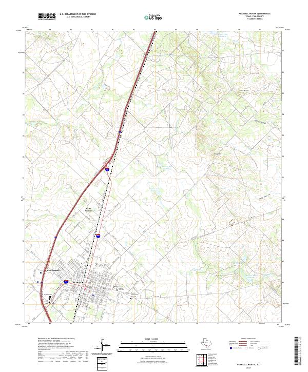 2022 Pearsall North2022 Print · USGSFrio County's cattle and brush country surroundings are captured in the early 2020s, centered on the growing community of Pearsall. Family historians can trace local roots at the Frio County Courthouse or among the many local burial sites such as the Pearsall Cem African American and Frio County Cem.
End of results
Showing maps 1-20 of 20
Top cities near Pearsall
Top neighborhoods of Pearsall
Frequently asked questions
- What are the different types of historical maps available for Pearsall?
- What is the oldest map of Pearsall?
- Where can I purchase historical maps of Pearsall for my home or office?
- Where can I download high-res historical maps of Pearsall?
- Are there historical topographic maps available for Pearsall?
- Is there historical aerial imagery available for Pearsall?
- Where are historical maps of Pearsall sourced from?