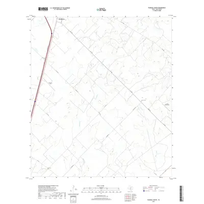
2019 Map of Pearsall South
USGS Topo · Published 2019About this map
Pearsall anchors the northern edge of this South Texas landscape, where the town's street grid meets a sprawling network of ranch roads and farm-to-market routes. The terrain is defined by the drainage patterns of Lockhardt Cr and Mule Cr, which cut through a region primarily dedicated to cattle ranching and aviation. Large-scale landholdings are evident through the presence of private landing strips like Jay Kay Ranch Airport and Mc Kinley Field. This 2019 survey documents the enduring rural character of Frio County, highlighting the importance of road connectivity in this expansive territory. Traces of early settlement and family history are preserved at Buckhorn Cem and Derby Cem, which stand as quiet landmarks along the dusty corridors of Tilden Rd and FM 1583.
Find a feature on this map
20 named features on this map. Tap any name to fly to it.
Don’t see what you’re looking for? This feature index may not catch every label — zoom into the map to look around manually.
Map Details
Editions of this 2019 Pearsall South Map
This is the sole edition of this map. No revisions or reprints were ever made.
Other maps of this area

1925 · Pearsall 1-b
USGS Topo · 1:48,000

1925 · Pearsall 1-c
USGS Topo · 1:48,000

1927 · Pearsall
USGS Topo · 1:62,500

1934 · Schattel
USGS Topo · 1:62,500

1942 · Dilley
USGS Topo · 1:62,500

1953 · Crystal City
USGS Topo · 1:250,000

1955 · Crystal City
USGS Topo · 1:250,000

1956 · Hindes
USGS Topo · 1:62,500

1961 · Crystal City
USGS Topo · 1:250,000

1964 · Pearsall South
USGS Topo · 1:24,000