2000s (21st Century) Maps of Fredericksburg, Texas
Explore 20 historic maps of Fredericksburg from the 2000s (21st Century). These maps offer a rare glimpse into what life looked like during the 2000s — showing old roads, neighborhoods, homes, and landmarks that have changed or disappeared over time.
Whether you're researching your family's past, planning a metal detecting trip, or studying how Fredericksburg's landscape evolved across the 2000s, these high-resolution maps are a powerful tool for exploring the history of this region.
- Focus on a specific era: All maps on this page are from the 2000s, giving you a focused view of this time period.
- See what’s changed: Compare century-old streets, trails, and buildings to today's modern landscape using overlays and satellite layers.
- Research with precision: Use these maps for genealogy, historical research, land use analysis, or educational projects.
- View, download, or print: Maps are fully viewable online in high resolution, and can be downloaded or printed for your own records.
Start exploring Fredericksburg's history through authentic maps from the 2000s. This is your window into the past.
Fredericksburg, TX maps
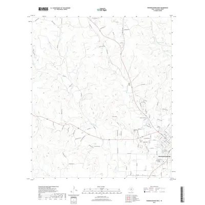
(20)- 2010 Map of Fredericksburg West, 2010 Print
 2010 Fredericksburg West2010 Print · USGSCovers Fredericksburg, including Gillespie County, United States, and other nearby areas
 - 2010 Map of Lady Bird Johnson Park, 2010 Print
 2010 Lady Bird Johnson Park2010 Print · USGSCovers Fredericksburg, including Kerr County, Kendall County, and other nearby areas
 - 2010 Map of Cain City, 2010 Print
 2010 Cain City2010 Print · USGSCovers Fredericksburg, including Luckenbach, Grapetown, and other nearby areas
 - 2010 Map of Fredericksburg East, 2010 Print
 2010 Fredericksburg East2010 Print · USGSCovers Fredericksburg, including Gillespie County, United States, and other nearby areas
 - 2012 Map of Cain City, 2012 Print
 2012 Cain City2012 Print · USGSCovers Fredericksburg, including Luckenbach, Grapetown, and other nearby areas
 - 2012 Map of Fredericksburg East, 2012 Print
 2012 Fredericksburg East2012 Print · USGSCovers Fredericksburg, including Gillespie County, United States, and other nearby areas
 - 2012 Map of Fredericksburg West, 2012 Print
 2012 Fredericksburg West2012 Print · USGSCovers Fredericksburg, including Gillespie County, United States, and other nearby areas
 - 2012 Map of Lady Bird Johnson Park, 2012 Print
 2012 Lady Bird Johnson Park2012 Print · USGSCovers Fredericksburg, including Kerr County, Kendall County, and other nearby areas
 - 2016 Map of Fredericksburg East, 2016 Print
 2016 Fredericksburg East2016 Print · USGSCovers Fredericksburg, including Gillespie County, United States, and other nearby areas
 - 2016 Map of Fredericksburg West, 2016 Print
 2016 Fredericksburg West2016 Print · USGSCovers Fredericksburg, including Gillespie County, United States, and other nearby areas
 - 2016 Map of Cain City, 2016 Print
 2016 Cain City2016 Print · USGSCovers Fredericksburg, including Luckenbach, Grapetown, and other nearby areas
 - 2016 Map of Lady Bird Johnson Park, 2016 Print
 2016 Lady Bird Johnson Park2016 Print · USGSCovers Fredericksburg, including Kerr County, Kendall County, and other nearby areas
 - 2019 Map of Fredericksburg West, 2019 Print
 2019 Fredericksburg West2019 Print · USGSCovers Fredericksburg, including Gillespie County, United States, and other nearby areas
 - 2019 Map of Fredericksburg East, 2019 Print
 2019 Fredericksburg East2019 Print · USGSCovers Fredericksburg, including Gillespie County, United States, and other nearby areas
 - 2019 Map of Cain City, 2019 Print
 2019 Cain City2019 Print · USGSCovers Fredericksburg, including Luckenbach, Grapetown, and other nearby areas
 - 2019 Map of Lady Bird Johnson Park, 2019 Print
 2019 Lady Bird Johnson Park2019 Print · USGSCovers Fredericksburg, including Kerr County, Kendall County, and other nearby areas
 - 2022 Map of Lady Bird Johnson Park, 2022 Print
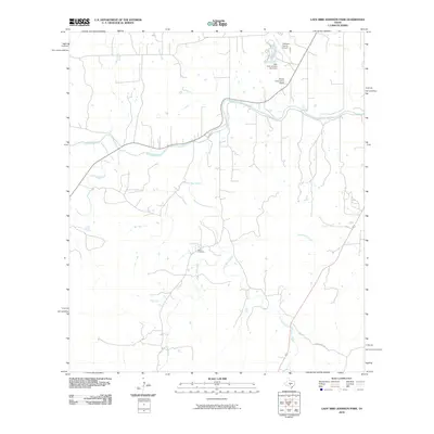
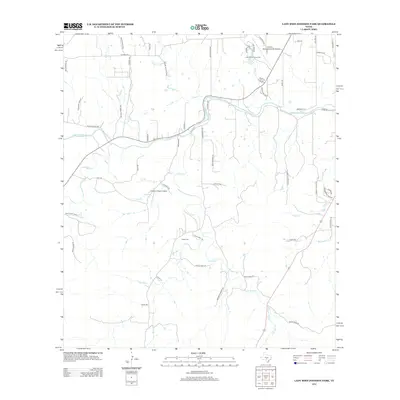
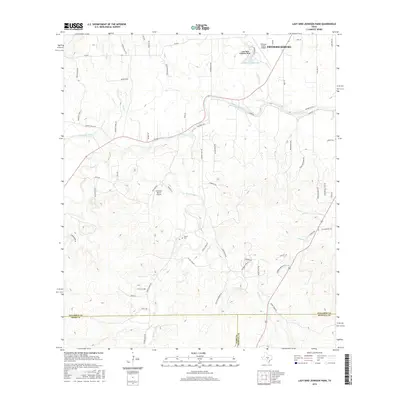
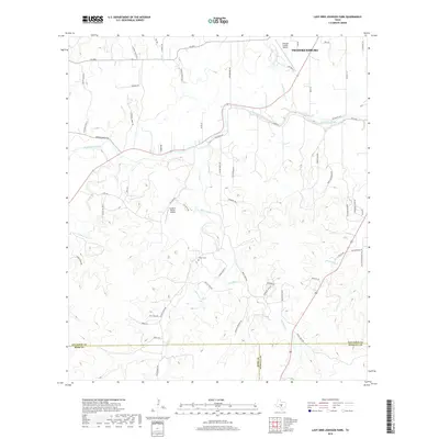
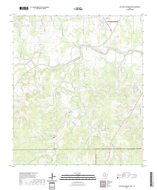 2022 Lady Bird Johnson Park2022 Print · USGSThe rolling Hill Country south of Fredericksburg is mapped here in the early twenty-first century, showing the transition from town to ranch land. Researchers can locate family landmarks like the Kott Family Cem and follow the winding Pedernales River through Mesquite Flat.
 - 2022 Map of Fredericksburg West, 2022 Print
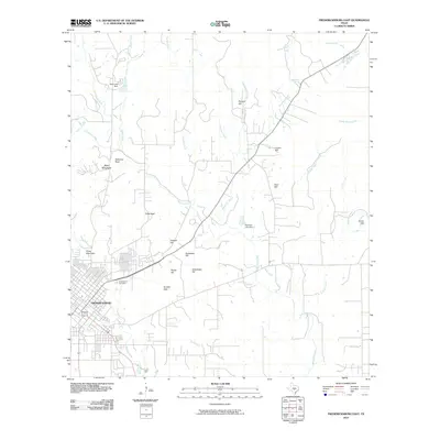
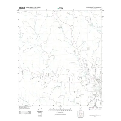
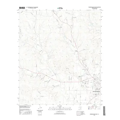
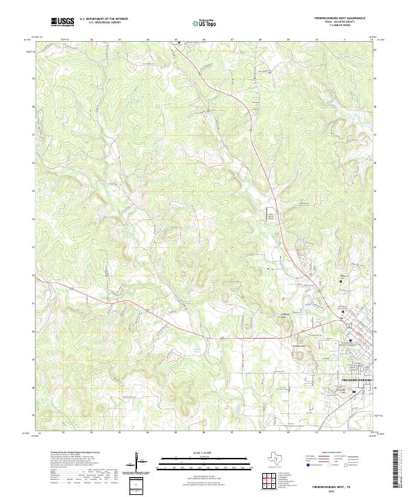 2022 Fredericksburg West2022 Print · USGSGillespie County's western reaches and the city of Fredericksburg are documented here in the early twenty-first century. Researchers can trace family history at the Old Catholic Cem or locate rural landmarks like Carter Ranch Airport and Guenther Spring.
 - 2022 Map of Cain City, 2022 Print
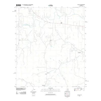
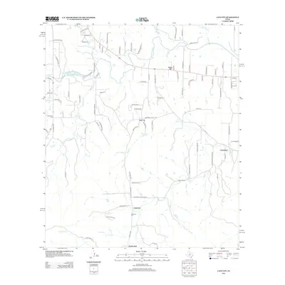
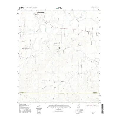
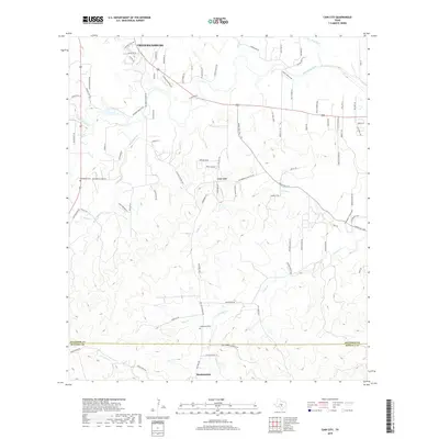
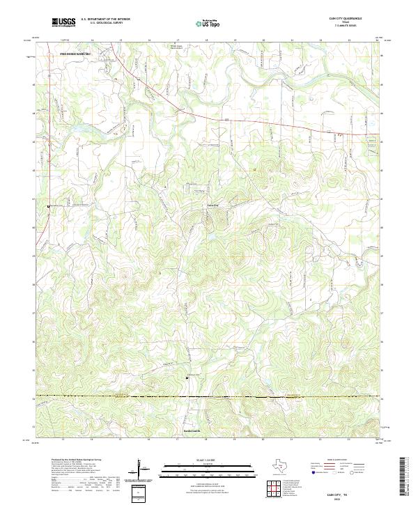 2022 Cain City2022 Print · USGSThe Texas Hill Country south of Fredericksburg is captured here in the early twenty-first century. Researchers can trace rural lineages at Grapetown Cem and explore named creek valleys like Muesebach Cr and Snake Cr.
 - 2022 Map of Fredericksburg East, 2022 Print
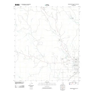
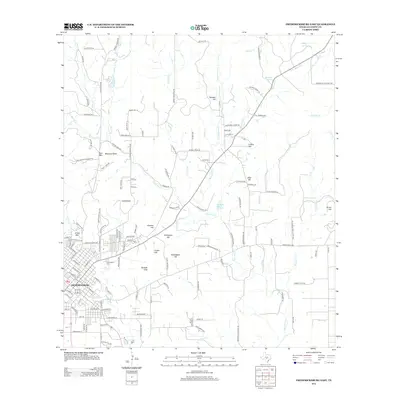
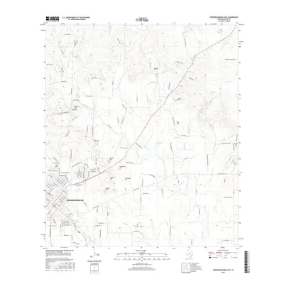
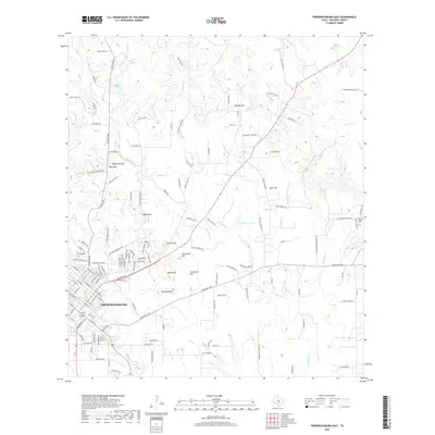
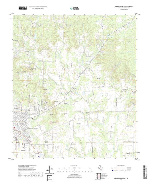 2022 Fredericksburg East2022 Print · USGSThe Fredericksburg area in the early twenty-first century remains defined by its German settlement roots and hilltop landmarks. Genealogists can locate historic burial grounds like Der Stadt Friedhof Cem while geologists can trace features like Balanced Rock and Roos Falls.
End of results
Showing maps 1-20 of 20
Top cities near Fredericksburg
Frequently asked questions
- What are the different types of historical maps available for Fredericksburg?
- What is the oldest map of Fredericksburg?
- Where can I purchase historical maps of Fredericksburg for my home or office?
- Where can I download high-res historical maps of Fredericksburg?
- Are there historical topographic maps available for Fredericksburg?
- Is there historical aerial imagery available for Fredericksburg?
- Where are historical maps of Fredericksburg sourced from?