Old Maps of Post Oak Lakes, Texas for Genealogy
Trace your family roots with 17 historic maps of Post Oak Lakes. These high-res maps reveal old neighborhoods, homesites, landmarks, and streets — helping you uncover where your ancestors lived and how the area evolved over time.
- Explore historic neighborhoods: Identify where your relatives may have lived in the 1800s or 1900s.
- Compare maps over time: Trace the changes in streets, buildings, and landmarks for multi-generational research.
- Perfect for genealogy & ancestry research: Used by family historians and researchers to map out lineage and migration.
These maps are an incredible resource for exploring your personal connection to Post Oak Lakes's past.
Post Oak Lakes, TX maps
(17)- 1894 Map of Fredericksburg
 1894 Fredericksburg1894 Print · USGSTexas Hill Country life in the late 1800s is centered on Fredericksburg and the banks of the Pedernales River. Genealogists and historians can trace early settlements and post offices like Martinsburgh, Westbrook, and the curiously named Blowout.4 unique versions available
 - 1954 Map of Llano, 1964 Print
 1954 Llano1964 Print · USGSThe Texas Hill Country and Highland Lakes appear in the mid-fifties, just as new reservoirs began reshaping the landscape. Trace ranching history and river routes from Mason to Llano, or follow the Gulf Colorado and Santa Fe RR past Buchanan Lake.2 unique versions available
 - 1955 Map of Llano
 1955 Llano1955 Print · USGSCentral Texas and the Hill Country are seen here during the mid-1950s growth of the Highland Lakes. Trace old settlements and geologic landmarks from Enchanted Rock and Longhorn Cavern to the small community of Luckenbach.
 - 1956 Map of Llano, 1976 Print
 1956 Llano1976 Print · USGSThe Texas Hill Country comes alive in this mid-seventies survey of the Llano Uplift and Colorado River lakes. Genealogists and historians can trace family roots through settlements like Luckenbach and Castell or locate the famed L B J Ranch and Enchanted Rock.
 - 1963 Map of Cain City, 1967 Print
 1963 Cain City1967 Print · USGSThe Texas Hill Country south of Fredericksburg is captured here in the early sixties, showing rural life along the Pedernales River. Researchers can trace the Old San Antonio Road and locate sites like Luckenbach, Cain City, and the Meusebach Cem.
 - 1967 Map of Fredericksburg East, 1969 Print
 1967 Fredericksburg East1969 Print · USGSGillespie County in the late sixties shows the steady expansion of Fredericksburg alongside its deep-rooted German heritage. Researchers can trace family-named summits like Henke Hill and Schuetzen Hill or locate the historic City Cem and Cross Mtn.2 unique versions available
 - 1985 Map of Pedernales River
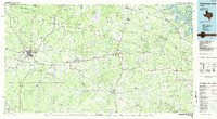 1985 Pedernales River1985 Print · USGSThe Texas Hill Country comes alive in the mid-1980s, documenting a landscape of ranching roots and presidential history. Researchers can trace historic settlements like Luckenbach, the presidential grounds of Lyndon B. Johnson National Historic Park, and the early rail path of the Southern Pacific Railroad.2 unique versions available
 - 2010 Map of Cain City, 2010 Print
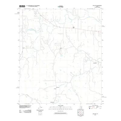 2010 Cain City2010 Print · USGSGillespie County in the early twenty-first century reveals a network of rural crossroads and established family ranchlands. Researchers can trace local heritage through Luckenbach, Cain City, and the Meusebach Cemetery while following the path of the Pedernales River.
 - 2010 Map of Fredericksburg East, 2010 Print
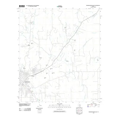 2010 Fredericksburg East2010 Print · USGSGillespie County's German heritage and distinctive Hill Country terrain are visible here in the first decade of the 2000s. Genealogists and local historians can trace the landscape around Fredericksburg, from Greenwood Cemetery to family landmarks like Kordzik Hills and Roos Falls.
 - 2012 Map of Cain City, 2012 Print
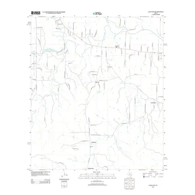 2012 Cain City2012 Print · USGSGillespie County's rural communities and historic ranch lands are captured here just after the turn of the millennium. Researchers can trace family history through sites like Meusebach Cem, the small settlement of Luckenbach, and the winding course of the Pedernales River.
 - 2012 Map of Fredericksburg East, 2012 Print
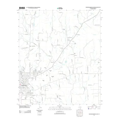 2012 Fredericksburg East2012 Print · USGSGillespie County at the start of the 2010s shows a sophisticated mix of municipal growth and enduring ranchland history. Researchers can map the expanding edges of Fredericksburg alongside long-standing landmarks like Greenwood Cem, Balanced Rock, and Marschall Spring.
 - 2016 Map of Fredericksburg East, 2016 Print
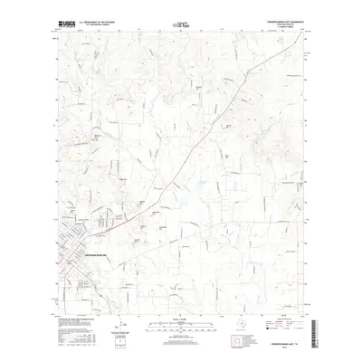 2016 Fredericksburg East2016 Print · USGSThe Texas Hill Country around Fredericksburg is shown during its modern expansion while retaining its deep agricultural roots. Genealogists and local historians can trace family-named landmarks like Kordzik Hills, Marschall Spring, and Greenwood Cem.
 - 2016 Map of Cain City, 2016 Print
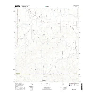 2016 Cain City2016 Print · USGSThe Gillespie County ranch lands south of Fredericksburg are documented in detail during the mid-2010s, showing the intersection of rural heritage and modern growth. Genealogists and local historians can trace family-named sites like Meusebach Cem and Grapetown Cem along the Pedernales River and South Grape Creek.
 - 2019 Map of Fredericksburg East, 2019 Print
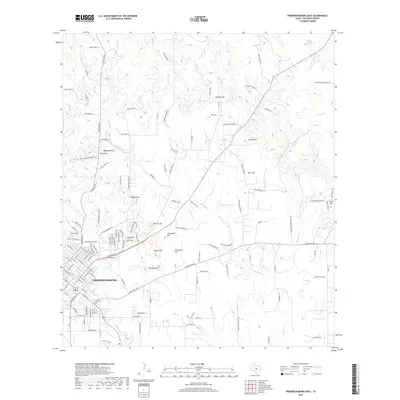 2019 Fredericksburg East2019 Print · USGSFredericksburg and its surrounding Gillespie County hills are shown in detail as they appeared in 2019. Genealogists and local historians can trace the town's expansion toward Cross Mountain and find family landmarks like Schuetzen Hill or the Greenwood Cemetery.
 - 2019 Map of Cain City, 2019 Print
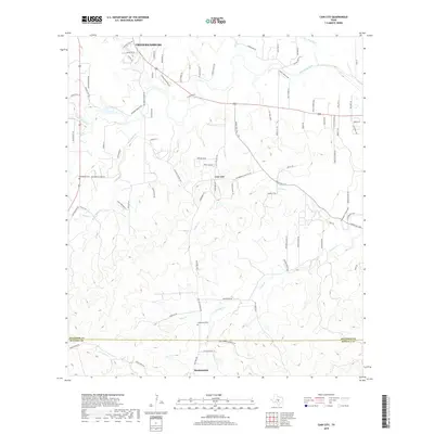 2019 Cain City2019 Print · USGSThe Texas Hill Country south of Fredericksburg is revealed here in the late twenty-teens, showing the rural landscape around Cain City and Bankersmith. Genealogists can locate family sites such as Meusebach Cem or trace the winding course of the Pedernales River.
 - 2022 Map of Cain City, 2022 Print
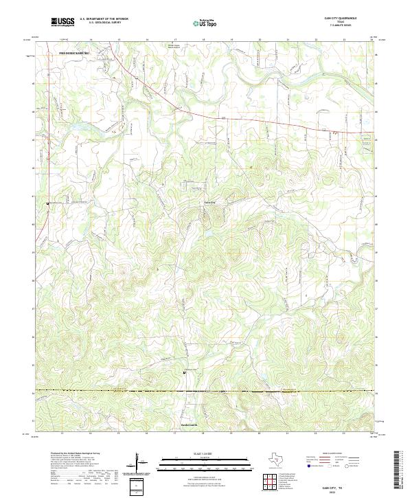 2022 Cain City2022 Print · USGSThe Texas Hill Country south of Fredericksburg is captured here in the early twenty-first century. Researchers can trace rural lineages at Grapetown Cem and explore named creek valleys like Muesebach Cr and Snake Cr.
 - 2022 Map of Fredericksburg East, 2022 Print
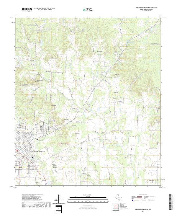 2022 Fredericksburg East2022 Print · USGSThe Fredericksburg area in the early twenty-first century remains defined by its German settlement roots and hilltop landmarks. Genealogists can locate historic burial grounds like Der Stadt Friedhof Cem while geologists can trace features like Balanced Rock and Roos Falls.
End of results
Showing maps 1-17 of 17
Frequently asked questions
- What are the different types of historical maps available for Post Oak Lakes?
- What is the oldest map of Post Oak Lakes?
- Where can I purchase historical maps of Post Oak Lakes for my home or office?
- Where can I download high-res historical maps of Post Oak Lakes?
- Are there historical topographic maps available for Post Oak Lakes?
- Is there historical aerial imagery available for Post Oak Lakes?
- Where are historical maps of Post Oak Lakes sourced from?