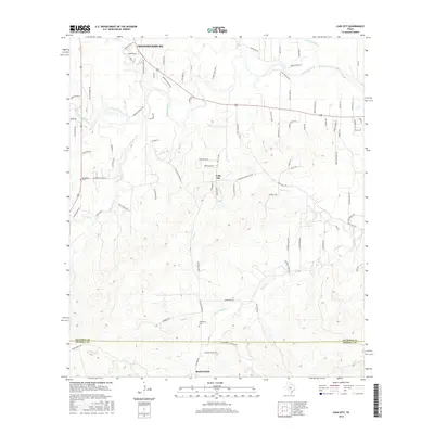
2016 Map of Cain City
USGS Topo · Published 2016About this map
Fredericksburg expands into the Texas Hill Country at the northern edge of this Gillespie County terrain, where family heritage is etched into the landscape through names like Meusebach Cem. The map traces a complex network of waterways, with the Pedernales River cutting through the northern section while smaller tributaries like Barons Cr, Salt Cr, and Palo Alto Creek define the local drainage patterns.
Find a feature on this map
89 named features on this map. Tap any name to fly to it.
Don’t see what you’re looking for? This feature index may not catch every label — zoom into the map to look around manually.
Map Details
Editions of this 2016 Cain City Map
This is the sole edition of this map. No revisions or reprints were ever made.
Other maps of this area

1894 · Fredericksburg
USGS Topo · 1:125,000

1954 · Llano
USGS Topo · 1:250,000

1955 · Llano
USGS Topo · 1:250,000

1956 · Llano
USGS Topo · 1:250,000

1961 · Stonewall
USGS Topo · 1:24,000

1961 · Cave Creek School
USGS Topo · 1:24,000

1963 · Whitworth Ranch
USGS Topo · 1:24,000

1963 · Cain City
USGS Topo · 1:24,000

1964 · Oak Crest Park
USGS Topo · 1:24,000
1964 · Rafter Hollow
USGS Topo · 1:24,000