Old Maps of Carnes, Texas for Metal Detecting
Plan your next treasure hunt with 10 historic maps of Carnes. Find old homesites, ghost towns, trails, and gathering spots that may be lost to time — perfect for identifying promising metal detecting locations.
- Locate forgotten sites: Uncover places like long-lost settlements, abandoned rail lines, or gathering spots.
- Plan better hunts: Use map overlays combined with LiDAR or satellite views to narrow in on historically rich areas.
- Made for detectorists: Thousands of hobbyists use these maps to discover relics, coins, and hidden history.
Use these historic maps to boost your research and find new opportunities beneath the surface of Carnes.
Carnes, TX maps
(10)- 1955 Map of Lawton, 1958 Print
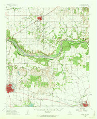
 1955 Lawton1958 Print · USGSSouthwestern Oklahoma and North Texas are shown here in the mid-fifties, dominated by the Wichita Mountains and the vital Red River watershed. Genealogists and historians can trace the foundations of Lawton alongside rural landmarks like Rainy Mountain Church and Pleasant Hill School.5 unique versions available
 - 1960 Map of Quanah, 1963 Print
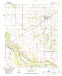
 1960 Quanah1963 Print · USGSThe Red River frontier comes to life in the early sixties, showing the vital rail-and-river connection between Oklahoma and the Texas Panhandle. Researchers can trace family roots through Eldorado Cem, King Sch, and the rail lines serving Quanah and Chillicothe.3 unique versions available
 - 1975 Map of Quanah NW
 1975 Quanah NW1975 Print · USGSThe Red River valley south of Eldorado comes to life in this mid-seventies aerial survey of the Oklahoma-Texas borderlands. Genealogists and land researchers can trace the precise boundaries of farmsteads and rural roads near Sandy Creek and the wide banks of the Red River.
 - 1984 Map of Eldorado, 1985 Print
 1984 Eldorado1985 Print · USGSEldorado and the surrounding plains of Jackson County are captured here in the mid-1980s, right at the state line. Researchers can trace the path of the Burlington Northern railroad or locate family burial sites at Antioch Cem and Durham Cem.
 - 1986 Map of Vernon
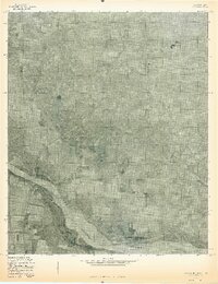
 1986 Vernon1986 Print · USGSNorth Texas and Southern Oklahoma meet along the river in the mid-1980s, revealing a landscape defined by ranching, oil production, and rail transport. Researchers can locate distinct landmarks such as Medicine Mound, the Conley Oil Field, and the community of Punkin Center.
 - 2010 Map of Eldorado, 2010 Print
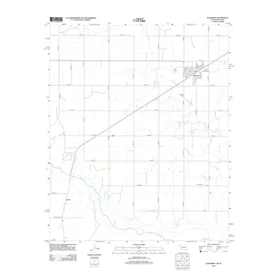
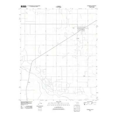 2010 Eldorado2010 Print · USGSCovers Carnes, including Eldorado, Jackson County, and other nearby areas
 - 2012 Map of Eldorado, 2012 Print
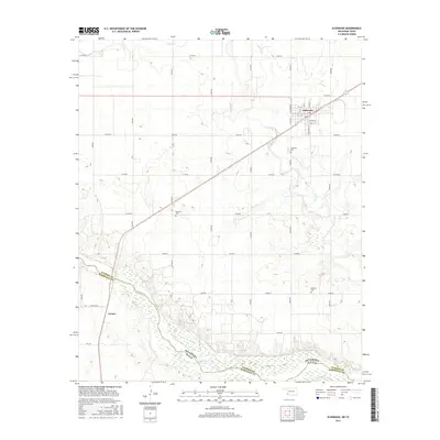
 2012 Eldorado2012 Print · USGSCovers Carnes, including Eldorado, Jackson County, and other nearby areas
 - 2016 Map of Eldorado, 2016 Print
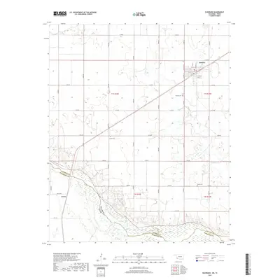
 2016 Eldorado2016 Print · USGSCovers Carnes, including Eldorado, Jackson County, and other nearby areas
 - 2019 Map of Eldorado, 2019 Print
 2019 Eldorado2019 Print · USGSCovers Carnes, including Eldorado, Jackson County, and other nearby areas
 - 2022 Map of Eldorado, 2022 Print
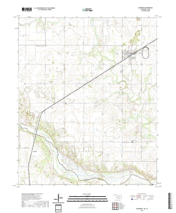 2022 Eldorado2022 Print · USGSEldorado and the northern banks of the Red River are documented in this recent survey of the Oklahoma-Texas borderlands. Researchers can locate family landmarks like Antioch Cem, trace the course of Sandy Creek, or explore the settlement at Carnes.
End of results
Showing maps 1-10 of 10
Top cities near Carnes
Frequently asked questions
- What are the different types of historical maps available for Carnes?
- What is the oldest map of Carnes?
- Where can I purchase historical maps of Carnes for my home or office?
- Where can I download high-res historical maps of Carnes?
- Are there historical topographic maps available for Carnes?
- Is there historical aerial imagery available for Carnes?
- Where are historical maps of Carnes sourced from?