
1960 Map of Quanah
USGS Topo · Published 1963About this map
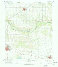
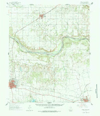
The Red River serves as the primary geographical divider in this 1960s study, marking the state boundary between Oklahoma and Texas. To the north, the town of Eldorado sits along the St Louis San Francisco railroad, surrounded by the organized sections of its namesake township. South of the river, the landscape of Hardeman County is defined by the larger population centers of Quanah and Chillicothe, both connected by the Fort Worth and Denver rail line.
Find a feature on this map
35 named features on this map. Tap any name to fly to it.
Don’t see what you’re looking for? This feature index may not catch every label — zoom into the map to look around manually.
Map Details
Editions of this 1960 Quanah Map
3 editions found
Other maps of this area

1927 · Quanah 3-a
USGS Topo · 1:48,000

1932 · Vivian
USGS Topo · 1:62,500

1955 · Lawton
USGS Topo · 1:250,000

1958 · Vernon
USGS Topo · 1:62,500

1958 · Medicine Mound
USGS Topo · 1:62,500

1958 · Elmer
USGS Topo · 1:62,500

1960 · Goodlett
USGS Topo · 1:62,500

1960 · Teacup Mountain
USGS Topo · 1:62,500

1961 · Hollis
USGS Topo · 1:62,500

1964 · Olustee
USGS Topo · 1:24,000