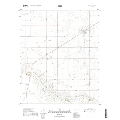
2019 Map of Eldorado
USGS Topo · Published 2019About this map
The Red River defines the southwestern boundary of this Jackson County landscape, marking the border where Oklahoma meets Texas. The town of Eldorado serves as the regional hub, organized around a traditional grid featuring N Market St and S Lloyd St near the local Po. Outside the main settlement, the terrain is characterized by an extensive network of section-line roads, such as E1760 Rd and N1840 Rd, which navigate the drainage basins of Sandy Cr. For local historians and genealogists, the map preserves the locations of several burial grounds that anchor the rural community, including Eldorado Cem, Antioch Cem, and Durham Cem. The small settlement of Carnes sits further south near the river, illustrating the dispersed nature of habitation in this agricultural corner of the state.
Find a feature on this map
40 named features on this map. Tap any name to fly to it.
Don’t see what you’re looking for? This feature index may not catch every label — zoom into the map to look around manually.
Map Details
Editions of this 2019 Eldorado Map
This is the sole edition of this map. No revisions or reprints were ever made.
Other maps of this area

1955 · Lawton
USGS Topo · 1:250,000
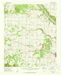
1960 · Goodlett
USGS Topo · 1:62,500
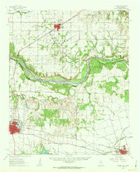
1960 · Quanah
USGS Topo · 1:62,500
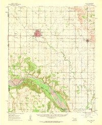
1961 · Hollis
USGS Topo · 1:62,500
1971 · Duke SW
USGS Topo · 1:24,000
1971 · Prairie Hill
USGS Topo · 1:24,000
1975 · Hollis SE
USGS Topo · 1:24,000
1975 · Quanah NE
USGS Topo · 1:24,000
1975 · Quanah NW
USGS Topo · 1:24,000
1984 · Quanah NE
USGS Topo · 1:24,000