2000s (21st Century) Maps of Harris County, Texas
Explore 230 historic maps of Harris County from the 2000s (21st Century). These maps offer a rare glimpse into what life looked like during the 2000s — showing old roads, neighborhoods, homes, and landmarks that have changed or disappeared over time.
Whether you're researching your family's past, planning a metal detecting trip, or studying how Harris County's landscape evolved across the 2000s, these high-resolution maps are a powerful tool for exploring the history of this region.
- Focus on a specific era: All maps on this page are from the 2000s, giving you a focused view of this time period.
- See what’s changed: Compare century-old streets, trails, and buildings to today's modern landscape using overlays and satellite layers.
- Research with precision: Use these maps for genealogy, historical research, land use analysis, or educational projects.
- View, download, or print: Maps are fully viewable online in high resolution, and can be downloaded or printed for your own records.
Start exploring Harris County's history through authentic maps from the 2000s. This is your window into the past.
Harris County, TX maps
(230)- 2010 Map of Plum Grove, 2010 Print
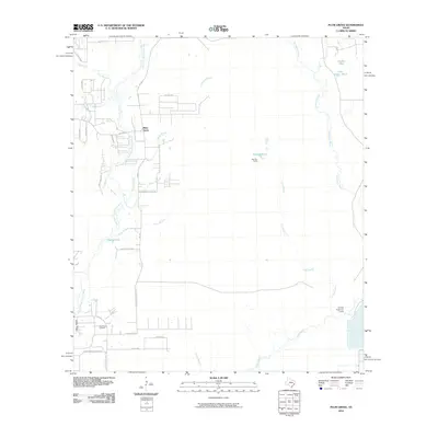 2010 Plum Grove2010 Print · USGSCovers Harris County, including Roman Forest, Plum Grove, and other nearby areas
 - 2010 Map of Hockley, 2010 Print
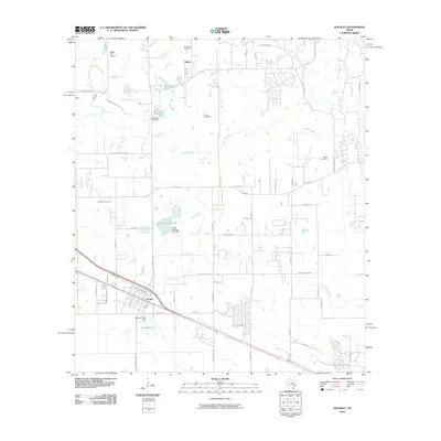 2010 Hockley2010 Print · USGSCovers Harris County, including Houston, Hegar, and other nearby areas
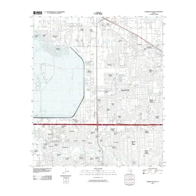
 - 2010 Map of Magnolia East, 2010 Print
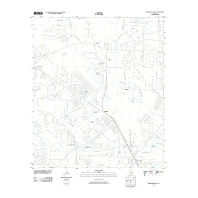 2010 Magnolia East2010 Print · USGSCovers Harris County, including Tomball, Magnolia, and other nearby areas
 - 2010 Map of Waller NW, 2010 Print
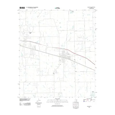
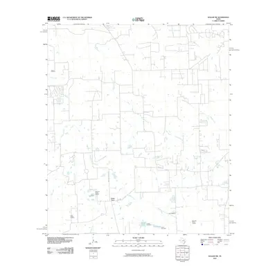 2010 Waller NW2010 Print · USGSCovers Harris County, including Fields Store, Waller County, and other nearby areas
 - 2010 Map of Waller, 2010 Print
 2010 Waller2010 Print · USGSCovers Harris County, including Houston, Prairie View, and other nearby areas
 - 2010 Map of Tomball, 2010 Print
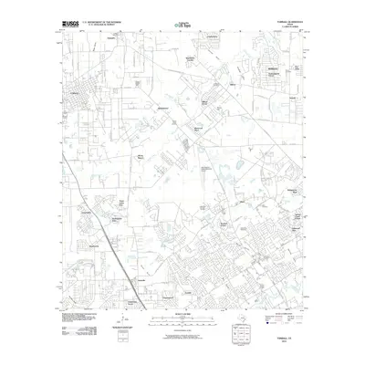 2010 Tomball2010 Print · USGSCovers Harris County, including Houston, Tomball, and other nearby areas
 - 2010 Map of Oklahoma, 2010 Print
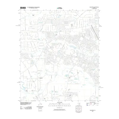 2010 Oklahoma2010 Print · USGSCovers Harris County, including The Woodlands, Conroe, and other nearby areas
 - 2010 Map of Rose Hill, 2010 Print
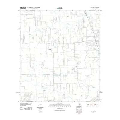 2010 Rose Hill2010 Print · USGSCovers Harris County, including Houston, Tomball, and other nearby areas
 - 2010 Map of Settegast, 2010 Print
 2010 Settegast2010 Print · USGSCovers Harris County, including Houston, Galena Park, and other nearby areas
 - 2010 Map of Houston Heights, 2010 Print
 2010 Houston Heights2010 Print · USGSCovers Harris County, including Houston, Hunters Creek Village, and other nearby areas
 - 2010 Map of Bellaire, 2010 Print
 2010 Bellaire2010 Print · USGSCovers Harris County, including Houston, Bellaire, and other nearby areas
 - 2010 Map of Cypress, 2010 Print
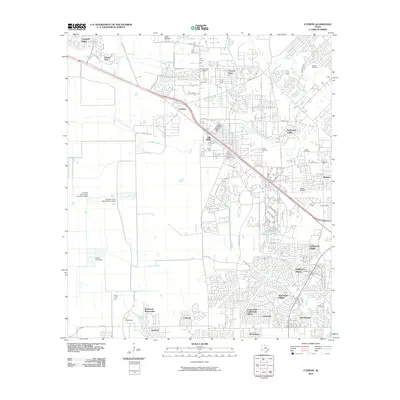 2010 Cypress2010 Print · USGSCovers Harris County, including Houston, Cypress, and other nearby areas
 - 2010 Map of Friendswood, 2010 Print
 2010 Friendswood2010 Print · USGSCovers Harris County, including Houston, Pearland, and other nearby areas
 - 2010 Map of Harmaston, 2010 Print
 2010 Harmaston2010 Print · USGSCovers Harris County, including Houston, Atascocita, and other nearby areas
 - 2010 Map of Jacinto City, 2010 Print
 2010 Jacinto City2010 Print · USGSCovers Harris County, including Houston, Galena Park, and other nearby areas
 - 2010 Map of Pasadena, 2010 Print
 2010 Pasadena2010 Print · USGSCovers Harris County, including Houston, Pasadena, and other nearby areas
 - 2010 Map of Missouri City, 2010 Print
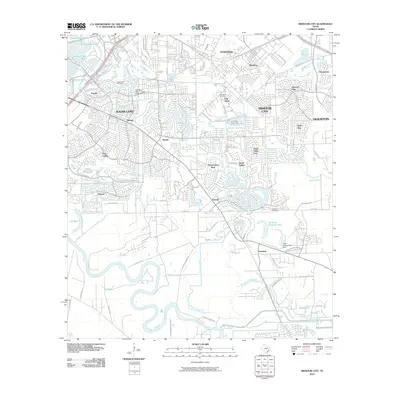 2010 Missouri City2010 Print · USGSCovers Harris County, including Houston, Sugar Land, and other nearby areas
 - 2010 Map of Humble, 2010 Print
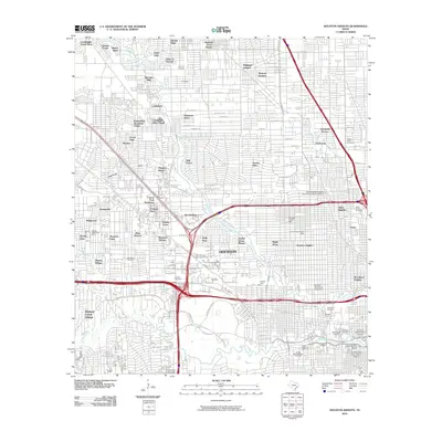
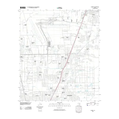 2010 Humble2010 Print · USGSCovers Harris County, including Houston, Humble, and other nearby areas
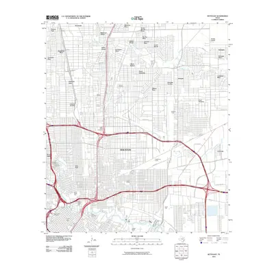
 - 2010 Map of Mont Belvieu, 2010 Print
 2010 Mont Belvieu2010 Print · USGSCovers Harris County, including Baytown, Mont Belvieu, and other nearby areas
 - 2010 Map of Hedwig Village, 2010 Print
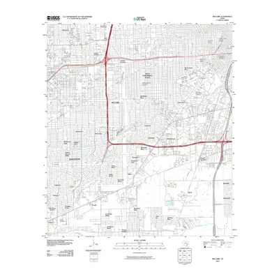
 2010 Hedwig Village2010 Print · USGSCovers Harris County, including Houston, Jersey Village, and other nearby areas
 - 2010 Map of Algoa, 2010 Print
 2010 Algoa2010 Print · USGSCovers Harris County, including League City, Friendswood, and other nearby areas
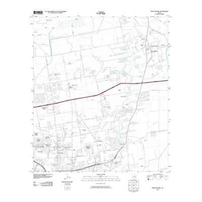
 - 2010 Map of Warren Lake, 2010 Print
 2010 Warren Lake2010 Print · USGSCovers Harris County, including Houston, Waller County, and other nearby areas
 - 2010 Map of Bacliff, 2010 Print
 2010 Bacliff2010 Print · USGSCovers Harris County, including Pasadena, League City, and other nearby areas
 - 2010 Map of Highlands, 2010 Print
 2010 Highlands2010 Print · USGSCovers Harris County, including Houston, Baytown, and other nearby areas
 - 2010 Map of Alief, 2010 Print
 2010 Alief2010 Print · USGSCovers Harris County, including Houston, Sugar Land, and other nearby areas
Showing maps 1-25 of 230
Top cities of Harris County
- Houston historical maps
- Pasadena historical maps
- Cypress historical maps
- Atascocita historical maps
- Baytown historical maps
- Spring historical maps
See more
Frequently asked questions
- What are the different types of historical maps available for Harris County?
- What is the oldest map of Harris County?
- Where can I purchase historical maps of Harris County for my home or office?
- Where can I download high-res historical maps of Harris County?
- Are there historical topographic maps available for Harris County?
- Is there historical aerial imagery available for Harris County?
- Where are historical maps of Harris County sourced from?