2000s (21st Century) Maps of Marshall, Texas
Explore 20 historic maps of Marshall from the 2000s (21st Century). These maps offer a rare glimpse into what life looked like during the 2000s — showing old roads, neighborhoods, homes, and landmarks that have changed or disappeared over time.
Whether you're researching your family's past, planning a metal detecting trip, or studying how Marshall's landscape evolved across the 2000s, these high-resolution maps are a powerful tool for exploring the history of this region.
- Focus on a specific era: All maps on this page are from the 2000s, giving you a focused view of this time period.
- See what’s changed: Compare century-old streets, trails, and buildings to today's modern landscape using overlays and satellite layers.
- Research with precision: Use these maps for genealogy, historical research, land use analysis, or educational projects.
- View, download, or print: Maps are fully viewable online in high resolution, and can be downloaded or printed for your own records.
Start exploring Marshall's history through authentic maps from the 2000s. This is your window into the past.
Marshall, TX maps
(20)- 2010 Map of Marshall West, 2010 Print
 2010 Marshall West2010 Print · USGSCovers Marshall, including Quiney, Nesbitt, and other nearby areas
 - 2010 Map of Marshall East, 2010 Print
 2010 Marshall East2010 Print · USGSCovers Marshall, including Scottsville, Gainesville, and other nearby areas
 - 2010 Map of Darco, 2010 Print
 2010 Darco2010 Print · USGSCovers Marshall, including Darco, Harrison County, and other nearby areas
 - 2010 Map of Colliers Creek, 2010 Print
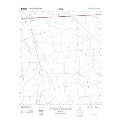
 2010 Colliers Creek2010 Print · USGSCovers Marshall, including Gill, Harrison County, and other nearby areas
 - 2013 Map of Colliers Creek, 2013 Print
 2013 Colliers Creek2013 Print · USGSCovers Marshall, including Gill, Harrison County, and other nearby areas
 - 2013 Map of Marshall West, 2013 Print
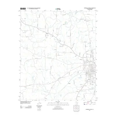 2013 Marshall West2013 Print · USGSCovers Marshall, including Quiney, Nesbitt, and other nearby areas
 - 2013 Map of Marshall East, 2013 Print
 2013 Marshall East2013 Print · USGSCovers Marshall, including Scottsville, Gainesville, and other nearby areas
 - 2013 Map of Darco, 2013 Print
 2013 Darco2013 Print · USGSCovers Marshall, including Darco, Harrison County, and other nearby areas
 - 2016 Map of Marshall West, 2016 Print
 2016 Marshall West2016 Print · USGSCovers Marshall, including Quiney, Nesbitt, and other nearby areas
 - 2016 Map of Colliers Creek, 2016 Print
 2016 Colliers Creek2016 Print · USGSCovers Marshall, including Gill, Harrison County, and other nearby areas
 - 2016 Map of Marshall East, 2016 Print
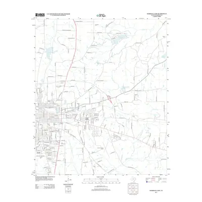
 2016 Marshall East2016 Print · USGSCovers Marshall, including Scottsville, Gainesville, and other nearby areas
 - 2016 Map of Darco, 2016 Print
 2016 Darco2016 Print · USGSCovers Marshall, including Darco, Harrison County, and other nearby areas
 - 2019 Map of Darco, 2019 Print
 2019 Darco2019 Print · USGSCovers Marshall, including Darco, Harrison County, and other nearby areas
 - 2019 Map of Colliers Creek, 2019 Print
 2019 Colliers Creek2019 Print · USGSCovers Marshall, including Gill, Harrison County, and other nearby areas
 - 2019 Map of Marshall East, 2019 Print
 2019 Marshall East2019 Print · USGSCovers Marshall, including Scottsville, Gainesville, and other nearby areas
 - 2019 Map of Marshall West, 2019 Print
 2019 Marshall West2019 Print · USGSCovers Marshall, including Quiney, Nesbitt, and other nearby areas
 - 2022 Map of Marshall West, 2022 Print
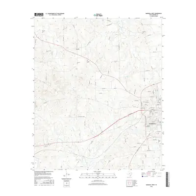
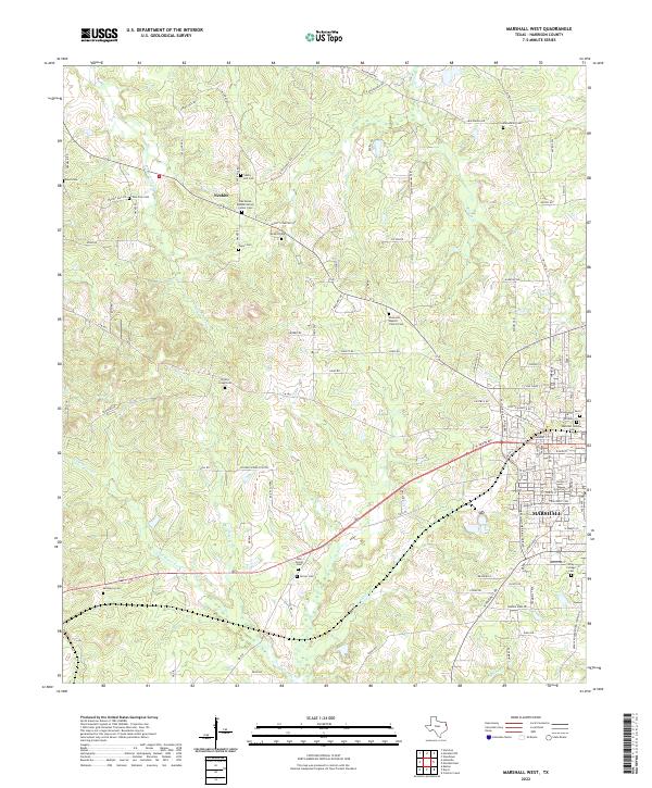 2022 Marshall West2022 Print · USGSHarrison County settlement patterns and historic community centers are preserved here in the early twenty-first century. Genealogists can trace family roots through numerous burial sites like Nesbitt Cem, New Zion Cem, and the historic Wiley College campus.
 - 2022 Map of Darco, 2022 Print
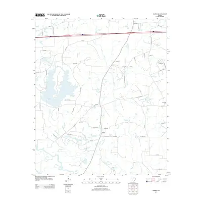
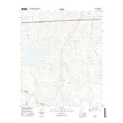
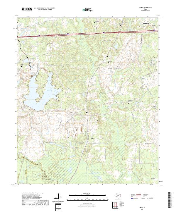 2022 Darco2022 Print · USGSEast Texas rural life and its burial traditions are documented here in the early twenty-first century. Genealogists can locate family landmarks like the Ewing Chapel Hall Cem, Mount Zion Cem, and the waters of Roseborough Springs.
 - 2022 Map of Colliers Creek, 2022 Print
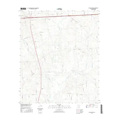
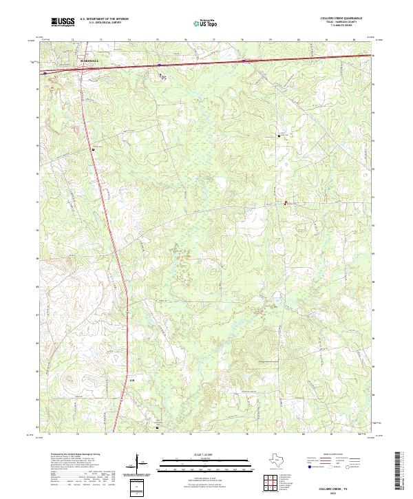 2022 Colliers Creek2022 Print · USGSHarrison County settlement patterns and rural cemeteries define this East Texas landscape south of the city. Genealogists can trace family locations near Gill, Saint John Cemetery, and Blocker Cemetery along the banks of Colliers Creek.
 - 2022 Map of Marshall East, 2022 Print
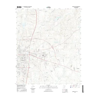
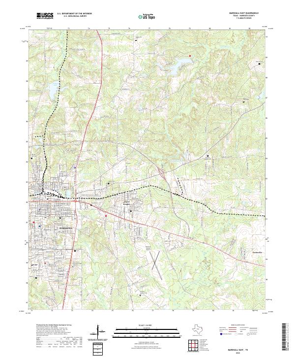 2022 Marshall East2022 Print · USGSMarshall and its eastern surroundings in Harrison County show a landscape defined by historic colleges and a dense network of family cemeteries. Researchers can trace the development of Jasper Heights and locate sites like Algoma Cem, Wiley College, and Holmes Lake.
End of results
Showing maps 1-20 of 20
Top cities near Marshall
- Hallsville historical maps
- Jefferson historical maps
- Scottsville historical maps
- Uncertain historical maps
Top neighborhoods of Marshall
Frequently asked questions
- What are the different types of historical maps available for Marshall?
- What is the oldest map of Marshall?
- Where can I purchase historical maps of Marshall for my home or office?
- Where can I download high-res historical maps of Marshall?
- Are there historical topographic maps available for Marshall?
- Is there historical aerial imagery available for Marshall?
- Where are historical maps of Marshall sourced from?