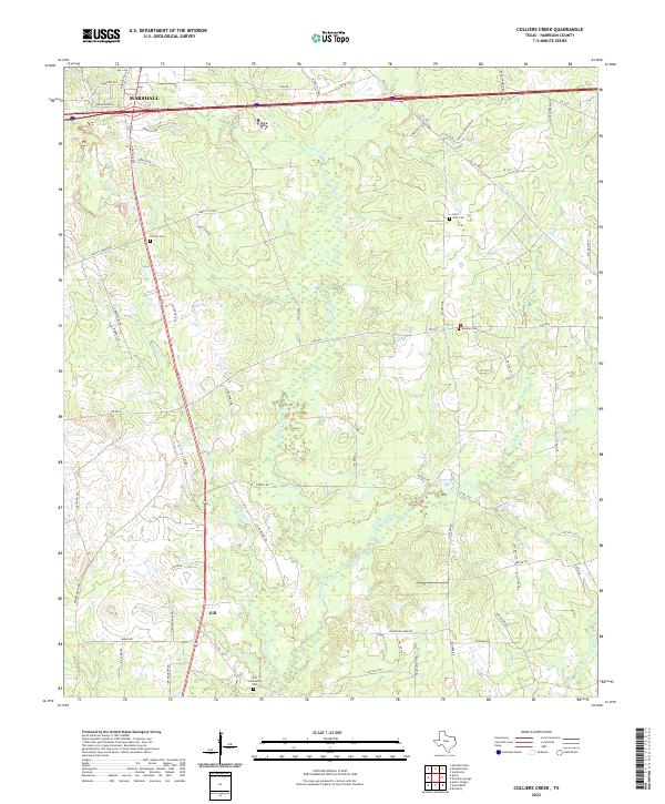
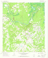
2022 Map of Colliers Creek
USGS Topo · Published 2022About this map
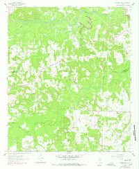
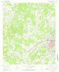
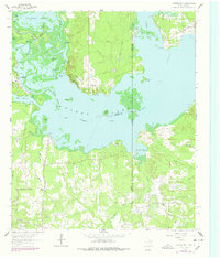
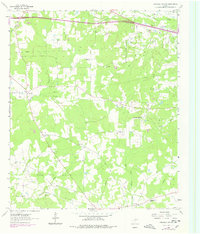
Marshall sits at the northern edge of this East Texas terrain, where the outskirts of the city meet a landscape defined by meandering watercourses like Eightmile Creek and Colliers Creek. Further south, the community of Gill marks a quiet settlement area near the Gill Community Cemetery. The distribution of burial grounds across this landscape, including Saint John Cemetery, Liberty Cemetery, and Blocker Cemetery, provides a clear map for genealogists tracing family ties in this part of Harrison County.
Find a feature on this map
66 named features on this map. Tap any name to fly to it.
Don’t see what you’re looking for? This feature index may not catch every label — zoom into the map to look around manually.
Map Details
Editions of this 2022 Colliers Creek Map
This is the sole edition of this map. No revisions or reprints were ever made.
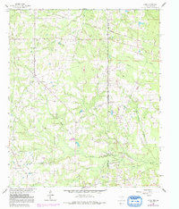
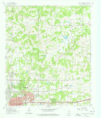
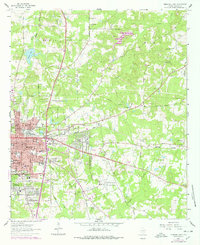
Historical Maps of Marshall Through Time
29 maps found

1944 Caddo Lake
Harrison County, TX

1946 Caddo Lake
Harrison County, TX
1958 Darco
Harrison County, TX
1961 Harleton
Harrison County, TX
1962 Ashland
Harrison County, TX
1962 Karnack
Harrison County, TX
1962 Latex
Harrison County, TX
1962 Longview Heights
Harrison County, TX
1962 Marshall East
Harrison County, TX
1962 Marshall NW
Harrison County, TX
1962 Marshall West
Harrison County, TX
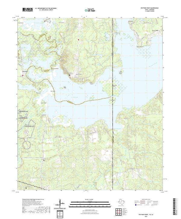
1962 Potters Point
Harrison County, TX
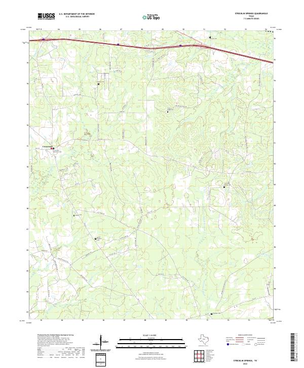
1962 Stricklin Springs
Harrison County, TX
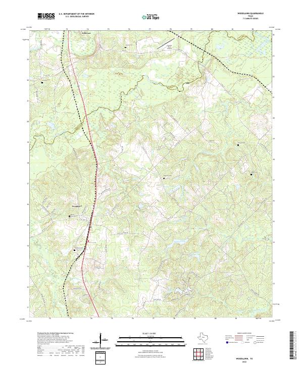
1962 Woodlawn
Harrison County, TX
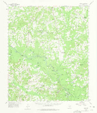
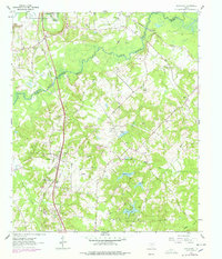
1983 Colliers Creek
Harrison County, TX
1983 Darco
Harrison County, TX
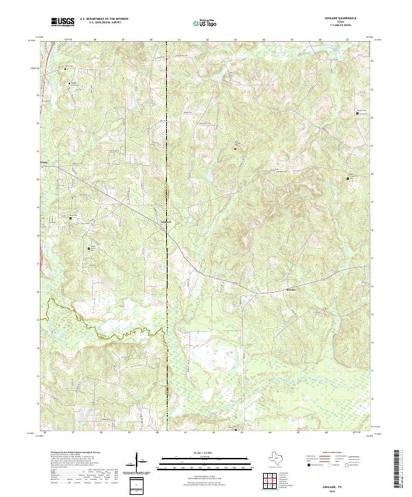
2022 Ashland
Harrison County, TX
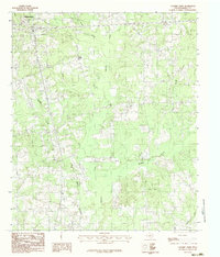
2022 Colliers Creek
Harrison County, TX
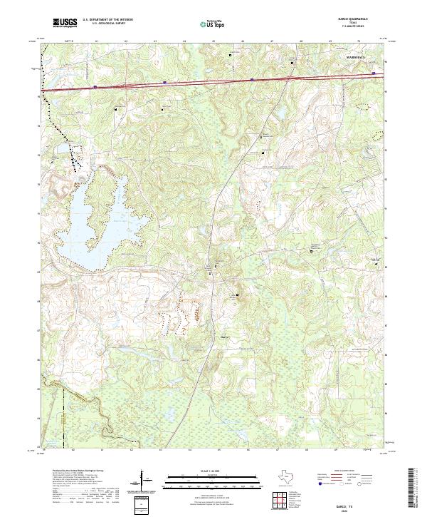
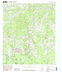
2022 Darco
Harrison County, TX
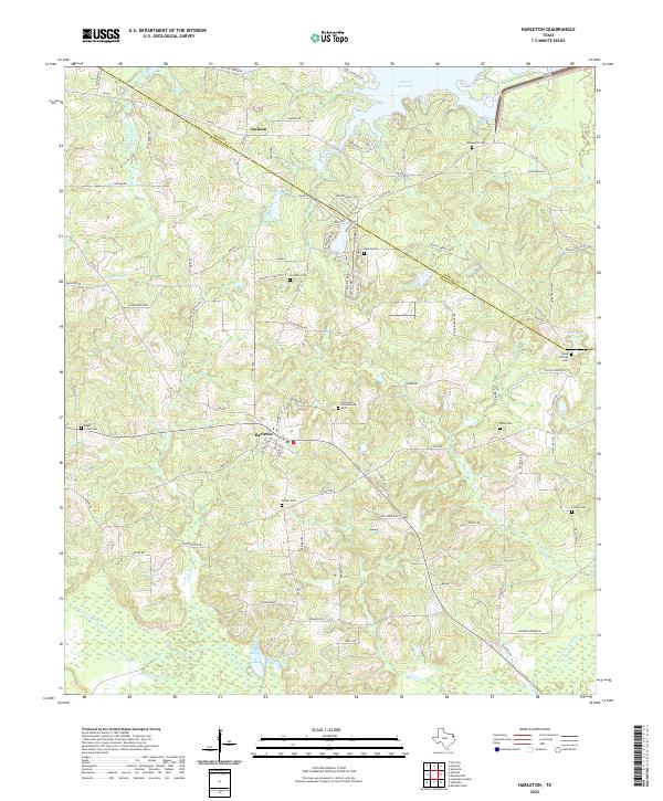
2022 Harleton
Harrison County, TX
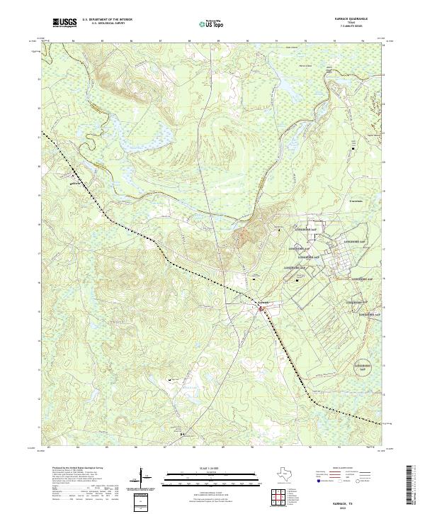
2022 Karnack
Harrison County, TX
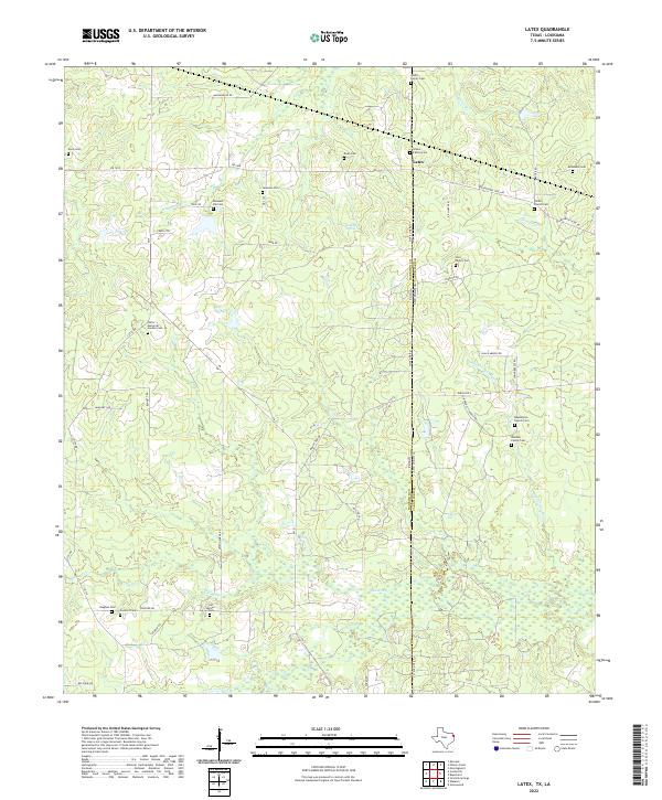
2022 Latex
Harrison County, TX
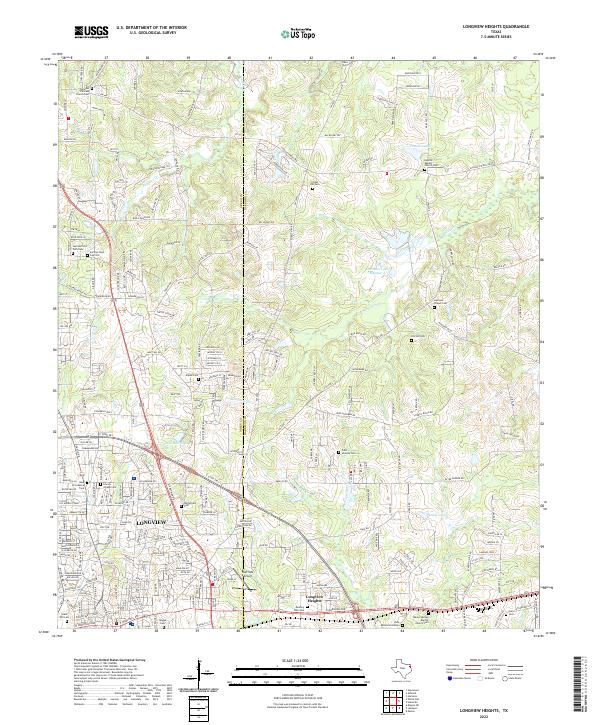
2022 Longview Heights
Harrison County, TX
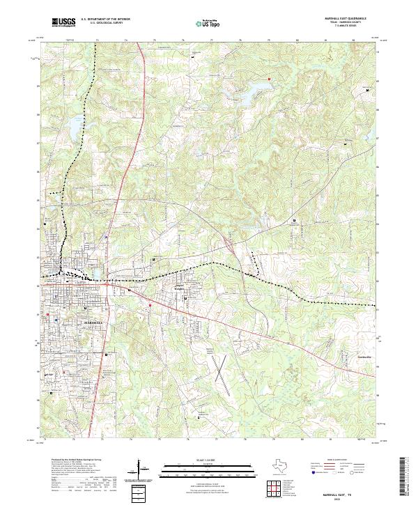
2022 Marshall East
Harrison County, TX
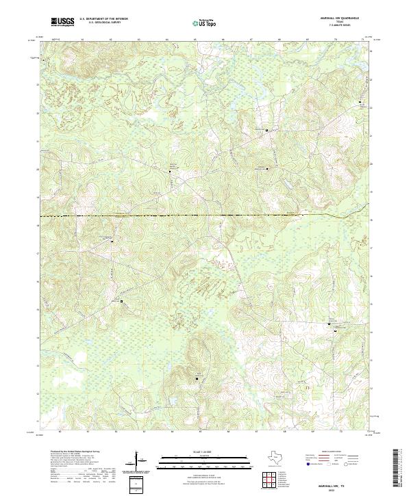
2022 Marshall NW
Harrison County, TX
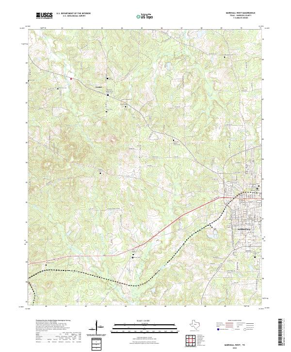
2022 Marshall West
Harrison County, TX
2022 Potters Point
Harrison County, TX
2022 Stricklin Springs
Harrison County, TX
2022 Woodlawn
Harrison County, TX