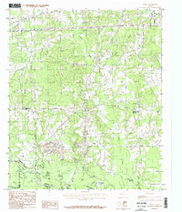
1983 Map of Darco
USGS Topo · Published 1987About this map
The Sabine River defines the southern boundary of this East Texas landscape, where the borders of Harrison, Rusk, and Panola counties meet. The area’s industrial character is marked by extensive Strip Mines and numerous Gravel Pits concentrated around Darco, reflecting the region’s reliance on resource extraction during the early 1980s. These excavations sit in contrast to the natural drainages of Potters Creek and Brandy Branch, which feed south toward the river valley.
Find a feature on this map
26 named features on this map. Tap any name to fly to it.
Don’t see what you’re looking for? This feature index may not catch every label — zoom into the map to look around manually.
Map Details
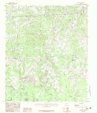
Editions of this 1983 Darco Map
2 editions found
Other maps of this area

1956 · Tyler
USGS Topo · 1:250,000

1958 · Darco
USGS Topo · 1:62,500

1958 · Tatum
USGS Topo · 1:62,500

1961 · Hallsville
USGS Topo · 1:24,000

1962 · Marshall West
USGS Topo · 1:24,000

1962 · Marshall East
USGS Topo · 1:24,000

1983 · Grand Bluff
USGS Topo · 1:24,000

1983 · Tatum
USGS Topo · 1:24,000

1983 · Harris Chapel
USGS Topo · 1:24,000

1983 · Easton
USGS Topo · 1:24,000