Old Maps of Marshall, Texas for Metal Detecting
Plan your next treasure hunt with 29 historic maps of Marshall. Find old homesites, ghost towns, trails, and gathering spots that may be lost to time — perfect for identifying promising metal detecting locations.
- Locate forgotten sites: Uncover places like long-lost settlements, abandoned rail lines, or gathering spots.
- Plan better hunts: Use map overlays combined with LiDAR or satellite views to narrow in on historically rich areas.
- Made for detectorists: Thousands of hobbyists use these maps to discover relics, coins, and hidden history.
Use these historic maps to boost your research and find new opportunities beneath the surface of Marshall.
Marshall, TX maps
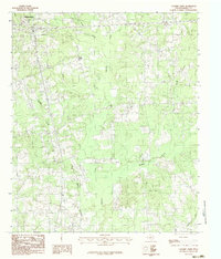
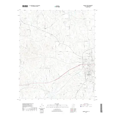
(29)- 1956 Map of Tyler
 1956 Tyler1956 Print · USGSEast Texas was a powerhouse of oil production and rail transport during the mid-fifties, centered on the sprawling East Texas Oil Field. Researchers can trace the heritage of industrial hubs like Kilgore, military sites such as the Longhorn Ordnance Works, and many rural landmarks like Mount Enterprise.5 unique versions available
 - 1958 Map of Darco, 1960 Print
 1958 Darco1960 Print · USGSThe Sabine River bottomlands of East Texas are captured here in the late fifties, showing a landscape defined by gas fields and lignite mining. Genealogists can locate family landmarks like the Rosenwald Vocational and Agriculture Sch, Harris Chapel, and the historical Boards Ferry.2 unique versions available
 - 1962 Map of Marshall West, 1963 Print
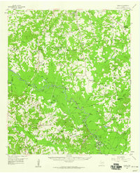
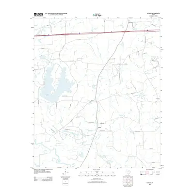
 1962 Marshall West1963 Print · USGSHarrison County in the early sixties showcases the expansion of Marshall along the Texas and Pacific rail lines. Researchers can trace historic local landmarks like Wiley College, the Woodlawn Oil Field, and Grover Cem.2 unique versions available
 - 1962 Map of Marshall East, 1964 Print
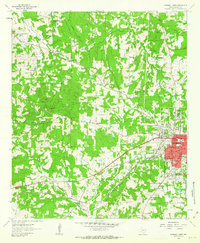
 1962 Marshall East1964 Print · USGSHarrison County at the start of the sixties shows a period of rapid growth as residential neighborhoods pushed east from the city center. Trace local lineage and land use through Algeria Cem, the Woodlawn Gas Field, and Pemberton High Sch.2 unique versions available
 - 1983 Map of Darco
 1983 Darco1983 Print · USGSHarrison County industry and river geography meet in the early eighties at the Sabine River. Researchers can trace the massive Strip Mines near Darco or locate old community landmarks like Roseborough Springs.2 unique versions available
 - 1983 Map of Colliers Creek, 1985 Print
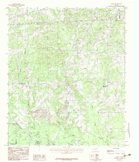
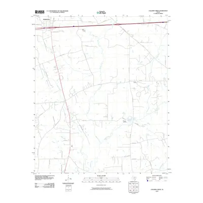
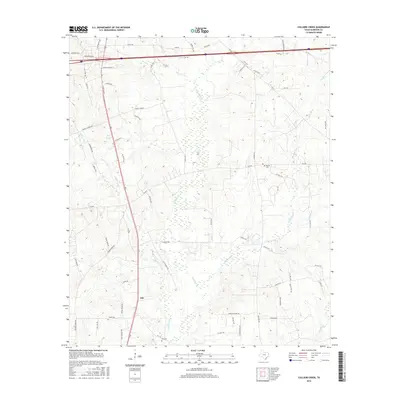
 1983 Colliers Creek1985 Print · USGSHarrison County's rolling Piney Woods landscape is captured here in the early eighties as the outskirts of the county seat expand. Researchers can trace the rural communities of Gill and Five Notch and follow the winding courses of Colliers Creek and Quapaw Creek.
 - 1984 Map of Tyler
 1984 Tyler1984 Print · USGSEast Texas at the peak of its reservoir-building era shows a landscape defined by new lakes and established rail corridors. Trace the path of the St Louis Southwestern RR or locate industrial sites like the Longhorn Ordnance Works.3 unique versions available
 - 1986 Map of Marshall
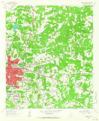
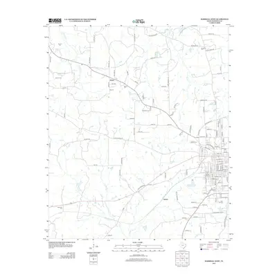
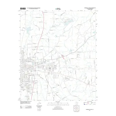
 1986 Marshall1986 Print · USGSEast Texas and the Louisiana borderlands are shown in the mid-1980s during a period of sustained industrial and energy production. Researchers can trace family roots through settlements like Ebenezer or study the impact of the Longhorn Army Ammunition Plant and Rodessa Oil Field.2 unique versions available
 - 1986 Map of Henderson
 1986 Henderson1986 Print · USGSEast Texas and the Louisiana borderlands come into focus in the 1980s as industrial energy production meets quiet rural townships. Researchers can trace family sites and local landmarks from Elysian Fields to Old Panola, alongside major features like the Strip Mine and Martin Lake State Park.2 unique versions available
 - 2010 Map of Marshall West, 2010 Print
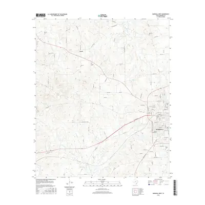
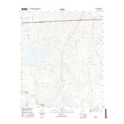
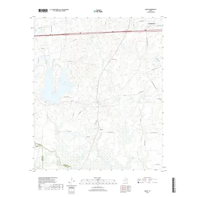
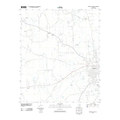 2010 Marshall West2010 Print · USGSCovers Marshall, including Quiney, Nesbitt, and other nearby areas
 - 2010 Map of Marshall East, 2010 Print
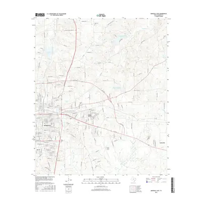
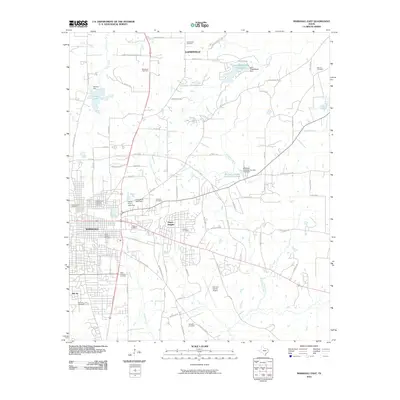 2010 Marshall East2010 Print · USGSCovers Marshall, including Scottsville, Gainesville, and other nearby areas
 - 2010 Map of Darco, 2010 Print
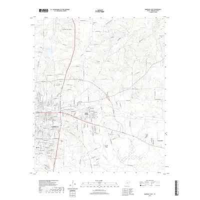
 2010 Darco2010 Print · USGSCovers Marshall, including Darco, Harrison County, and other nearby areas
 - 2010 Map of Colliers Creek, 2010 Print
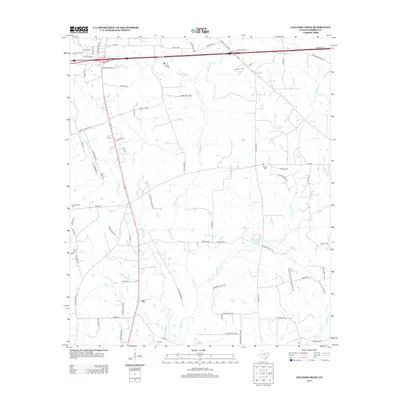
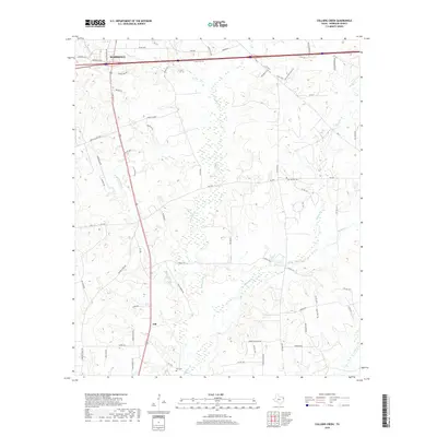
 2010 Colliers Creek2010 Print · USGSCovers Marshall, including Gill, Harrison County, and other nearby areas
 - 2013 Map of Colliers Creek, 2013 Print
 2013 Colliers Creek2013 Print · USGSCovers Marshall, including Gill, Harrison County, and other nearby areas
 - 2013 Map of Marshall West, 2013 Print
 2013 Marshall West2013 Print · USGSCovers Marshall, including Quiney, Nesbitt, and other nearby areas
 - 2013 Map of Marshall East, 2013 Print
 2013 Marshall East2013 Print · USGSCovers Marshall, including Scottsville, Gainesville, and other nearby areas
 - 2013 Map of Darco, 2013 Print
 2013 Darco2013 Print · USGSCovers Marshall, including Darco, Harrison County, and other nearby areas
 - 2016 Map of Marshall West, 2016 Print
 2016 Marshall West2016 Print · USGSCovers Marshall, including Quiney, Nesbitt, and other nearby areas
 - 2016 Map of Colliers Creek, 2016 Print
 2016 Colliers Creek2016 Print · USGSCovers Marshall, including Gill, Harrison County, and other nearby areas
 - 2016 Map of Marshall East, 2016 Print
 2016 Marshall East2016 Print · USGSCovers Marshall, including Scottsville, Gainesville, and other nearby areas
 - 2016 Map of Darco, 2016 Print
 2016 Darco2016 Print · USGSCovers Marshall, including Darco, Harrison County, and other nearby areas
 - 2019 Map of Darco, 2019 Print
 2019 Darco2019 Print · USGSCovers Marshall, including Darco, Harrison County, and other nearby areas
 - 2019 Map of Colliers Creek, 2019 Print
 2019 Colliers Creek2019 Print · USGSCovers Marshall, including Gill, Harrison County, and other nearby areas
 - 2019 Map of Marshall East, 2019 Print
 2019 Marshall East2019 Print · USGSCovers Marshall, including Scottsville, Gainesville, and other nearby areas
 - 2019 Map of Marshall West, 2019 Print
 2019 Marshall West2019 Print · USGSCovers Marshall, including Quiney, Nesbitt, and other nearby areas
Showing maps 1-25 of 29
Top cities near Marshall
- Hallsville historical maps
- Jefferson historical maps
- Scottsville historical maps
- Uncertain historical maps
Top neighborhoods of Marshall
Frequently asked questions
- What are the different types of historical maps available for Marshall?
- What is the oldest map of Marshall?
- Where can I purchase historical maps of Marshall for my home or office?
- Where can I download high-res historical maps of Marshall?
- Are there historical topographic maps available for Marshall?
- Is there historical aerial imagery available for Marshall?
- Where are historical maps of Marshall sourced from?