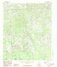
1983 Map of Darco
USGS Topo · Published 1983About this map
Darco and the surrounding timberlands of Harrison County are defined by a heavy industrial footprint in this early 1980s provisional survey. Massive Strip Mines and numerous Gravel Pits dominate the central terrain, indicating the intensive resource extraction that shaped the local economy and landscape during this era. The Sabine River forms the southern boundary, where the river's winding course creates a series of oxbow features including Hendricks Lakes and Round Lake.
Find a feature on this map
23 named features on this map. Tap any name to fly to it.
Don’t see what you’re looking for? This feature index may not catch every label — zoom into the map to look around manually.
Map Details
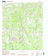
Editions of this 1983 Darco Map
2 editions found
Other maps of this area

1956 · Tyler
USGS Topo · 1:250,000

1958 · Darco
USGS Topo · 1:62,500

1958 · Tatum
USGS Topo · 1:62,500

1961 · Hallsville
USGS Topo · 1:24,000

1962 · Marshall West
USGS Topo · 1:24,000

1962 · Marshall East
USGS Topo · 1:24,000

1983 · Grand Bluff
USGS Topo · 1:24,000

1983 · Tatum
USGS Topo · 1:24,000

1983 · Harris Chapel
USGS Topo · 1:24,000

1983 · Easton
USGS Topo · 1:24,000