Old Maps of Malakoff, Texas for Genealogy
Trace your family roots with 21 historic maps of Malakoff. These high-res maps reveal old neighborhoods, homesites, landmarks, and streets — helping you uncover where your ancestors lived and how the area evolved over time.
- Explore historic neighborhoods: Identify where your relatives may have lived in the 1800s or 1900s.
- Compare maps over time: Trace the changes in streets, buildings, and landmarks for multi-generational research.
- Perfect for genealogy & ancestry research: Used by family historians and researchers to map out lineage and migration.
These maps are an incredible resource for exploring your personal connection to Malakoff's past.
Malakoff, TX maps
(21)- 1949 Map of Athens, 1966 Print
 1949 Athens1966 Print · USGSMid-century Henderson County is captured here at a moment when rural life centered on local institutions like Gum Creek Sch and Shelby Chapel. You can trace the path of the Southern Pacific through Athens and locate old family landmarks like Richardson Cem and Beck Chapel.3 unique versions available
 - 1950 Map of Athens
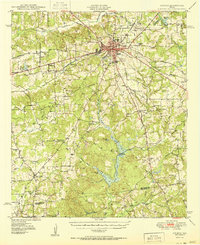 1950 Athens1950 Print · USGSHenderson County center at mid-century, where the rail lines of the St Louis Southwestern and Southern Pacific cross. Genealogists can locate family landmarks like Metzkoff Cem, the Junior College, and Shelby Chapel.
 - 1954 Map of Dallas, 1963 Print
 1954 Dallas1963 Print · USGSNorth Texas in the mid-fifties and early sixties reveals a landscape of rapid urban growth and water management. Genealogists and historians can trace the evolution of the metroplex through landmarks like Hensley Field, Boles Orphan Home, and the Texas & Pacific RR.4 unique versions available
 - 1956 Map of Tyler
 1956 Tyler1956 Print · USGSEast Texas was a powerhouse of oil production and rail transport during the mid-fifties, centered on the sprawling East Texas Oil Field. Researchers can trace the heritage of industrial hubs like Kilgore, military sites such as the Longhorn Ordnance Works, and many rural landmarks like Mount Enterprise.5 unique versions available
 - 1958 Map of Dallas
 1958 Dallas1958 Print · USGSNorth Texas in the late fifties shows the dramatic expansion of the Metroplex as it absorbs surrounding farm towns. Genealogists and historians can trace old rail lines like the Missouri-Kansas-Texas and locate early lakefront developments at Eagle Mountain Lake and Lake Worth Village.
 - 1960 Map of Malakoff, 1961 Print
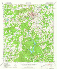
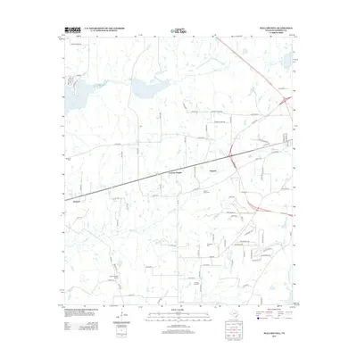
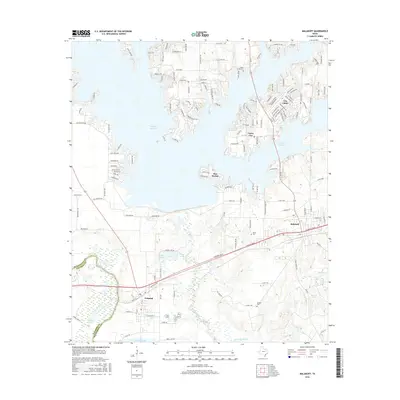
 1960 Malakoff1961 Print · USGSThe Trinity River valley in 1960 reveals a landscape of industrial power and small-town growth between Trinidad and Malakoff. Genealogists and historians can trace local landmarks like the St Paul Industrial Sch, Kilman Hospital, and Isaac Cem.4 unique versions available
 - 1984 Map of Tyler
 1984 Tyler1984 Print · USGSEast Texas at the peak of its reservoir-building era shows a landscape defined by new lakes and established rail corridors. Trace the path of the St Louis Southwestern RR or locate industrial sites like the Longhorn Ordnance Works.3 unique versions available
 - 1984 Map of Mallard Hill
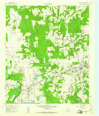
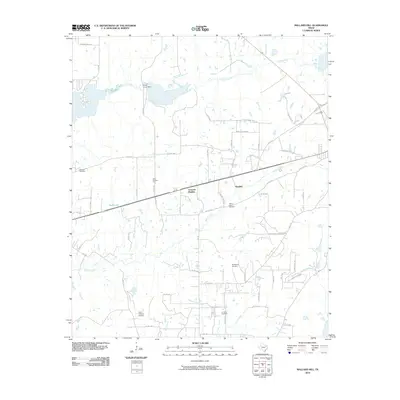
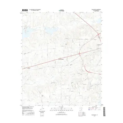
 1984 Mallard Hill1984 Print · USGSHenderson County, Texas, was undergoing steady transition in the late seventies and early eighties as residential growth expanded between ATHENS and Malakoff. Researchers can trace old family locations and landmarks like Crescent Heights, Mallard Hill, and the shores of Cedar Creek Reservoir.
 - 1985 Map of Tyler
 1985 Tyler1985 Print · USGSEast Texas in the mid-eighties centers on the growth of Tyler and the expansive waters of Lake Palestine. Genealogists and researchers can trace family landmarks like Henry's Chapel and Browning Cem alongside the routes of the Southern Pacific RR.
 - 1985 Map of Corsicana, 1986 Print
 1985 Corsicana1986 Print · USGSNorth Central Texas was defined by its expanding water reservoirs and deep-rooted rail corridors in the mid-eighties. Researchers can trace the heritage of local communities through landmarks like Southwestern Bible Institute, Navarro College, and rural markers such as Derrs Chapel.2 unique versions available
 - 1991 Map of Tyler
 1991 Tyler1991 Print · USGSEast Texas in the early nineties centered on the expansion of Tyler and the recreational draw of Lake Palestine. Researchers can trace the layout of smaller communities like Ben Wheeler, Frankston, and Troup as they existed before modern suburban growth.
 - 2010 Map of Mallard Hill, 2010 Print
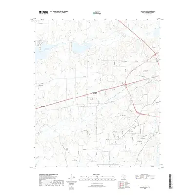
 2010 Mallard Hill2010 Print · USGSCovers Malakoff, including Athens, Crescent Heights, and other nearby areas
 - 2010 Map of Malakoff, 2010 Print
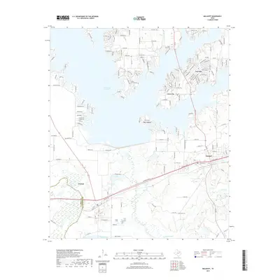
 2010 Malakoff2010 Print · USGSCovers Malakoff, including Trinidad, Log Cabin, and other nearby areas
 - 2012 Map of Malakoff, 2012 Print
 2012 Malakoff2012 Print · USGSCovers Malakoff, including Trinidad, Log Cabin, and other nearby areas
 - 2013 Map of Mallard Hill, 2013 Print
 2013 Mallard Hill2013 Print · USGSCovers Malakoff, including Athens, Crescent Heights, and other nearby areas
 - 2016 Map of Malakoff, 2016 Print
 2016 Malakoff2016 Print · USGSCovers Malakoff, including Trinidad, Log Cabin, and other nearby areas
 - 2016 Map of Mallard Hill, 2016 Print
 2016 Mallard Hill2016 Print · USGSCovers Malakoff, including Athens, Crescent Heights, and other nearby areas
 - 2019 Map of Malakoff, 2019 Print
 2019 Malakoff2019 Print · USGSCovers Malakoff, including Trinidad, Log Cabin, and other nearby areas
 - 2019 Map of Mallard Hill, 2019 Print
 2019 Mallard Hill2019 Print · USGSCovers Malakoff, including Athens, Crescent Heights, and other nearby areas
 - 2022 Map of Malakoff, 2022 Print
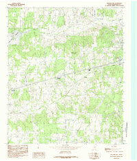
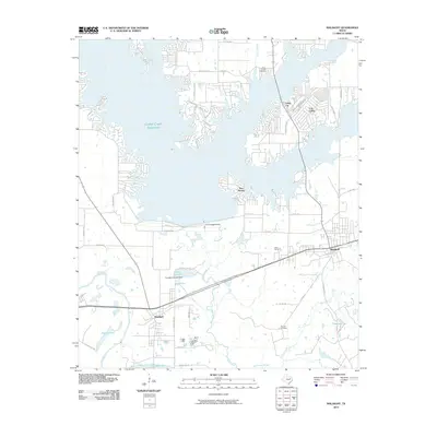
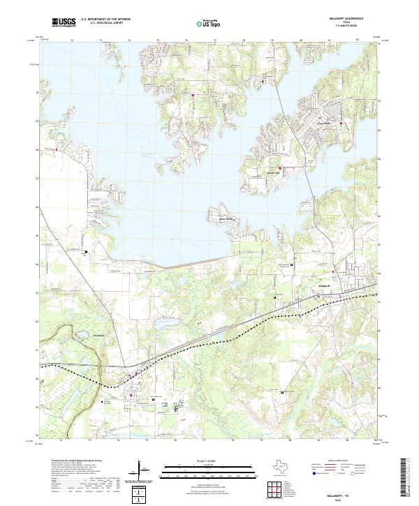 2022 Malakoff2022 Print · USGSHenderson County's lakefront and river bottomlands are captured here during the 2020s, showing the intersection of recreation and industry. Researchers can locate family sites at Antioch Cem, trace the shoreline of Cedar Creek Reservoir, or explore the rail-and-river hub of Trinidad.
 - 2022 Map of Mallard Hill, 2022 Print
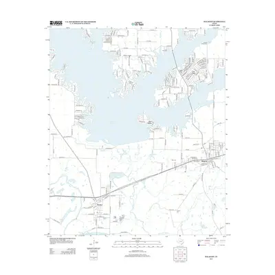
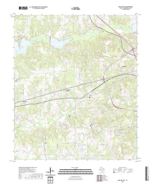 2022 Mallard Hill2022 Print · USGSHenderson County near the turn of the decade shows the continued evolution of East Texas settlements between Malakoff and Athens. Genealogists and historians can trace local heritage through Walnut Creek Cem, Smith Cem, and the Circle R Ranch Airport.
End of results
Showing maps 1-21 of 21
Top cities near Malakoff
- Athens historical maps
- Gun Barrel City historical maps
- Mabank historical maps
- Tool historical maps
- Kerens historical maps
- Seven Points historical maps
See more
Frequently asked questions
- What are the different types of historical maps available for Malakoff?
- What is the oldest map of Malakoff?
- Where can I purchase historical maps of Malakoff for my home or office?
- Where can I download high-res historical maps of Malakoff?
- Are there historical topographic maps available for Malakoff?
- Is there historical aerial imagery available for Malakoff?
- Where are historical maps of Malakoff sourced from?