Old Maps of Bynum, Texas for Academic Research
Study the evolution of Bynum with 18 high-resolution historic maps. Whether you're teaching, researching, or modeling changes in land use, these maps provide essential visual documentation of urban, environmental, and geographic change.
- Analyze long-term change: Track patterns in development, transportation, and natural features.
- Ideal for environmental or urban studies: Support academic projects with primary historical map data.
- Use in the classroom or lab: Educators and researchers rely on these maps to bring historical context to life.
These maps are a powerful tool for teaching, research, and visualizing how Bynum has changed over the decades.
Bynum, TX maps
(18)- 1892 Map of Waco
 1892 Waco1892 Print · USGSCentral Texas was rapidly expanding during the 1890s as a rail and river commerce hub. Genealogists and researchers can trace the early footprints of Waco and its surrounding communities like China Springs, Valley Mills, and West along five distinct railway lines.6 unique versions available
 - 1920 Map of Waco
 1920 Waco1920 Print · USGSWaco and its surrounding rail corridors are captured in high detail shortly after the first World War. Researchers can trace the legacy of Rifle Range Camp MacArthur and vanished river crossings like Greenwoods Ferry and Old Towash.
 - 1954 Map of Waco, 1964 Print
 1954 Waco1964 Print · USGSCentral Texas during the mid-fifties shows a landscape defined by the expansion of Fort Hood Military Reservation and the Brazos river system. Trace the rail lines and early airfields like James Connally Air Force Base and settlements like Temple or McGregor.2 unique versions available
 - 1955 Map of Waco
 1955 Waco1955 Print · USGSCentral Texas at the peak of the Cold War reveals a landscape defined by military expansion and major water projects. Researchers can trace the footprints of Fort Hood, the waters of Lake Waco, and regional hubs like Temple or Mexia.
 - 1956 Map of Abbott, 1957 Print
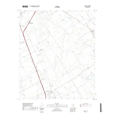
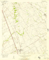 1956 Abbott1957 Print · USGSHill County agricultural life and infrastructure are captured in the mid-fifties, just as highway expansion began to reshape the landscape. Researchers can locate family roots at Jessie Cem or trace the early rail economy through the Abbott and Winslow depots.2 unique versions available
 - 1957 Map of Malone, 1958 Print
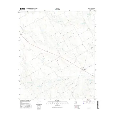
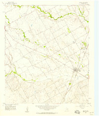 1957 Malone1958 Print · USGSHill County in the mid-fifties shows a landscape of rail-connected towns and rural community centers. Genealogists can locate several family landmarks and burial sites, including Salem Cem, Burross Cem, and the Salem Sch near Malone.2 unique versions available
 - 1985 Map of Mexia
 1985 Mexia1985 Print · USGSLimestone and Freestone counties are shown in the mid-eighties as centers of rail-linked commerce and growing reservoir systems. Researchers can trace the grounds of Mexia State School, the campus of Westminster College, and historic Fort Parker.2 unique versions available
 - 1985 Map of Waco
 1985 Waco1985 Print · USGSCentral Texas in the mid-eighties shows a landscape of river-fed lakes and bustling transit hubs as the region expanded. Genealogists and historians can trace rail lines like the Missouri Kansas Texas or locate sites such as Rosemound Cem and Meridian State Park.2 unique versions available
 - 2010 Map of Abbott, 2010 Print
 2010 Abbott2010 Print · USGSCovers Bynum, including Hillsboro, Abbott, and other nearby areas
 - 2010 Map of Malone, 2010 Print
 2010 Malone2010 Print · USGSCovers Bynum, including Malone, Hill County, and other nearby areas
 - 2012 Map of Abbott, 2012 Print
 2012 Abbott2012 Print · USGSCovers Bynum, including Hillsboro, Abbott, and other nearby areas
 - 2013 Map of Malone, 2013 Print
 2013 Malone2013 Print · USGSCovers Bynum, including Malone, Hill County, and other nearby areas
 - 2016 Map of Abbott, 2016 Print
 2016 Abbott2016 Print · USGSCovers Bynum, including Hillsboro, Abbott, and other nearby areas
 - 2016 Map of Malone, 2016 Print
 2016 Malone2016 Print · USGSCovers Bynum, including Malone, Hill County, and other nearby areas
 - 2019 Map of Malone, 2019 Print
 2019 Malone2019 Print · USGSCovers Bynum, including Malone, Hill County, and other nearby areas
 - 2019 Map of Abbott, 2019 Print
 2019 Abbott2019 Print · USGSCovers Bynum, including Hillsboro, Abbott, and other nearby areas
 - 2022 Map of Abbott, 2022 Print
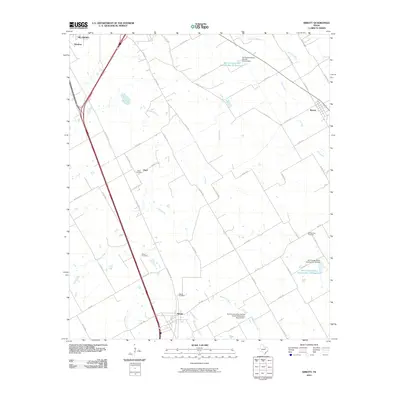
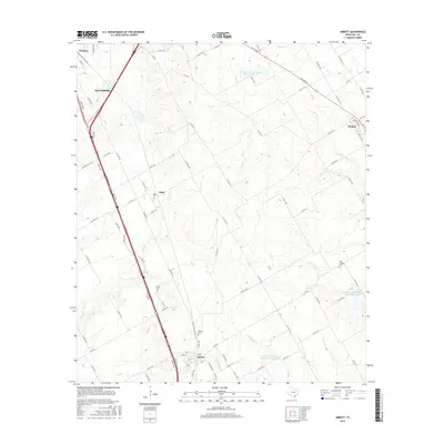
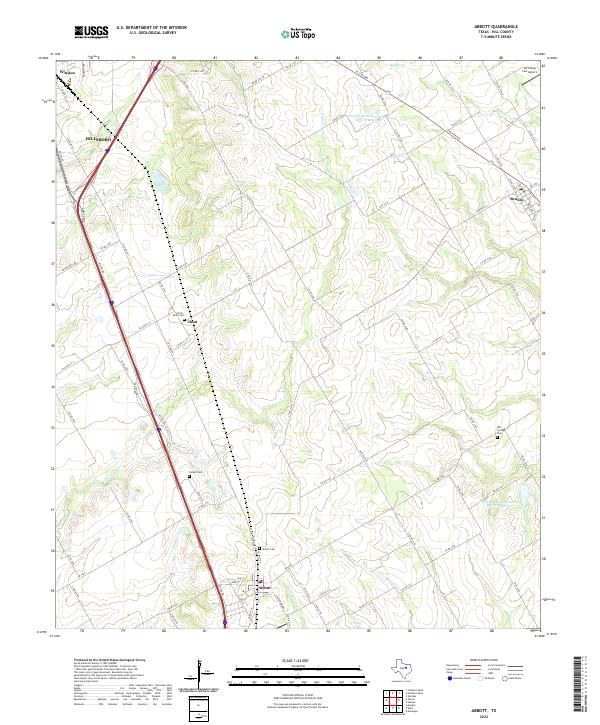 2022 Abbott2022 Print · USGSHill County agricultural and transit corridors are mapped here in the early twenty-first century as modern highways bypass traditional centers. Genealogists can locate family burial sites at Abbott Cem, Chatt - Jessie Cem, and Bell Springs Cem.
 - 2022 Map of Malone, 2022 Print
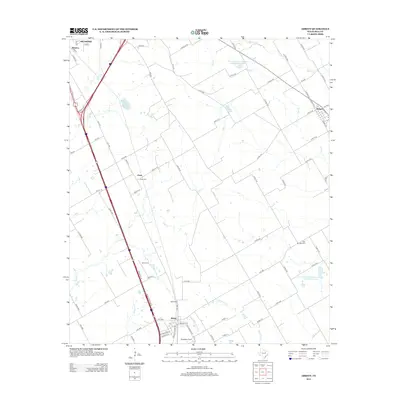
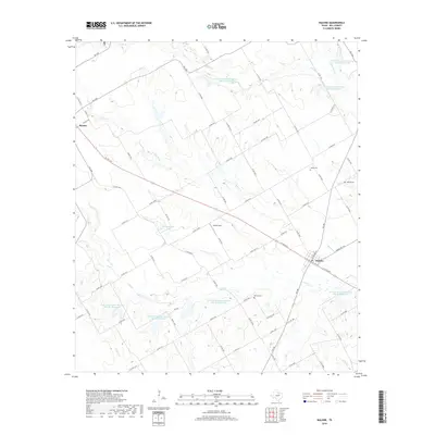
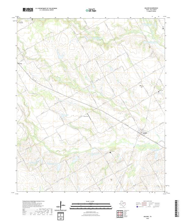 2022 Malone2022 Print · USGSHill County agricultural lands are captured here in the early twenty-first century, showcasing the rural crossroads of Malone and Bynum. Genealogists and local historians can locate family burial sites at Burross Cem and Salem Lutheran Cem or trace the drainage of Bynum Cr.
End of results
Showing maps 1-18 of 18
Top cities near Bynum
- Hillsboro historical maps
- West historical maps
- Italy historical maps
- Itasca historical maps
- Hubbard historical maps
- Gholson historical maps
See more
Frequently asked questions
- What are the different types of historical maps available for Bynum?
- What is the oldest map of Bynum?
- Where can I purchase historical maps of Bynum for my home or office?
- Where can I download high-res historical maps of Bynum?
- Are there historical topographic maps available for Bynum?
- Is there historical aerial imagery available for Bynum?
- Where are historical maps of Bynum sourced from?